Alta Via 4 Guide – Stages, Huts & Via Ferratas
- Trail
- Alta Via 4
- Country
- Italy
- Distance
- 90.9 km
- Ascent
- +5,621 m
- Duration
- 4 days
- Season
- late June – September
Alta Via 4 at a glance
- Location: Dolomites, Italy – start San Candido, finish Pieve di Cadore
- Waymarking: Waymarking of the route itself is poor (red triangles with the lettering AV4) – we saw it only a few times. The individual sections that the route links, however, are very well marked with red-and-white stripes.
- Restrictions: seasonal (ideally late June – September); during the season some huts must be booked in advance
- Physical fitness demands: 5/5
- Technical difficulty: 4/5
The hike is moderately to highly demanding – it leads through rocky terrain with exposed passages. The difficulty depends heavily on the style you choose. With a light pack and sleeping in huts it is more comfortably passable. If you carry a tent, stove and supplies, both the physical and logistical load rise significantly.
- Duration: 4 days (18–21 June 2025)
- Parameters: 90.9 km / +5,621 metres of elevation gain (from our watch recording, including the detour to Torre di Toblin)
- Route type: linear, from point A to point B
- Parking: San Candido (Parcheggio Ovest)
- Route map: mapy.cz
Stages at a glance
Our four days on the route according to the watch recording (18–21 June 2025). The figures include the detour to the Torre di Toblin via ferrata on day one and the failed shortcut over Forcella del Nevaio on day two.
| Day | Route | Distance | Ascent | Moving time |
|---|---|---|---|---|
| 1 | San Candido → bivouac below Tre Cime / Cadini di Misurina | 28.3 km | +1,855 m | 7 h 49 min |
| 2 | bivouac below Tre Cime → Rifugio Fonda Savio → Rifugio Città di Carpi → Rifugio Vandelli (Lago di Sorapis) | 25.3 km | +1,464 m | 7 h 36 min |
| 3 | Rifugio Vandelli (Vandelli via ferrata) → Forcella Grande → Rifugio Galassi | 19.2 km | +1,470 m | 6 h 48 min |
| 4 | Rifugio Galassi → Rifugio Antelao → Pieve di Cadore | 18.2 km | +832 m | 5 h 28 min |
| Total | 90.9 km | +5,621 m | 27 h 42 min |
Why Alta Via 4 – looking for a summer challenge
Once again it’s our favourite time of year. Outside, the last remnants of winter are still fading, and we, bundled up in bed with a cup of tea, trace our fingers over a map of Europe. We’re looking for our next challenge for the summer. Will it be one of the well-known GR trails? The Skye Trail in rainy Scotland? Or will we head further south to the Balkans?
In the end Alta Via 4 caught our eye – a lesser-known but all the more adventurous route in the Dolomites. While Alta Via 1 is among the classics, you can’t learn much about the “four”. Just a few videos and a handful of brief blogs; the rest of the information we dug out of Italian and English forums. The plan was the same as last year: sleep in a tent or under the open sky. We found only one person who had at least partly managed to do that on this route.
Alta Via 4 is no ordinary hike. Over 91 kilometres you climb almost 5,600 metres of elevation, in technical terrain with exposed sections where a via ferrata set is a must. And that was the catch. Our experience? Around freezing point. Me: one afternoon on the crags, my girlfriend: a complete beginner. At least we rely on experience from the climbing wall. I click through to the MTHIKER e-shop, order a via ferrata set and we’re ready to go.
Day 1 – San Candido, Rifugio Locatelli and the Torre di Toblin via ferrata
Everything packed, off we go
After roughly ten hours on the road we finally cross the Austrian–Italian border and the familiar views welcome us. We arrive in the early evening, so we quickly buy something to eat and look for a place to lay our heads.
We manage to find a spot just outside the town of San Candido. Judging by the number of campers it’s a fairly well-known place to spend the night – about five cars and two motorbikes had gathered there. Even so, the atmosphere was quiet and respectful.
The place feels peaceful, surrounded by trees, and just a few metres away an icy mountain stream babbles, which the brave could easily pick for a short cold plunge. After the long journey we couldn’t find that courage, but the natural backdrop was perfect.
Packs on, the journey can begin
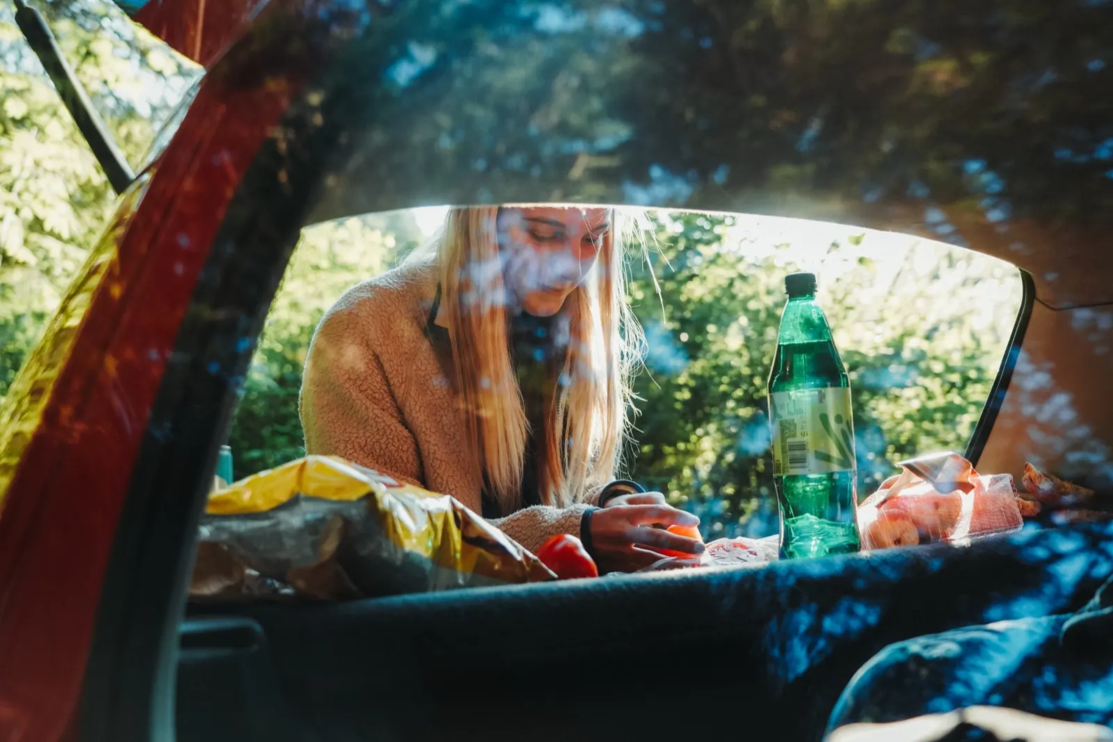
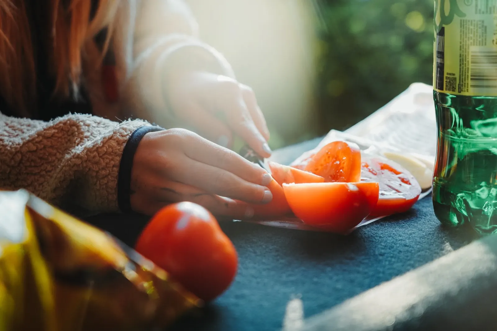
The morning was quick. We hadn’t worked out the water properly, so we buy the last few drinks and sort through our food. We have food for roughly 4–5 days. Mostly we carry the classics: tinned tuna, tortillas, dehydrated meals, wafer bars, something sweet and something salty to nibble on.
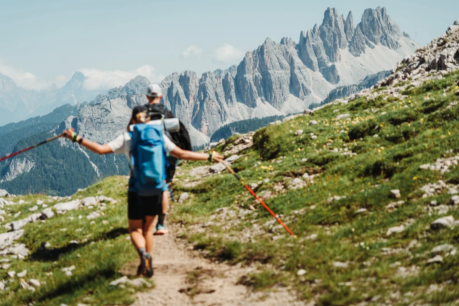
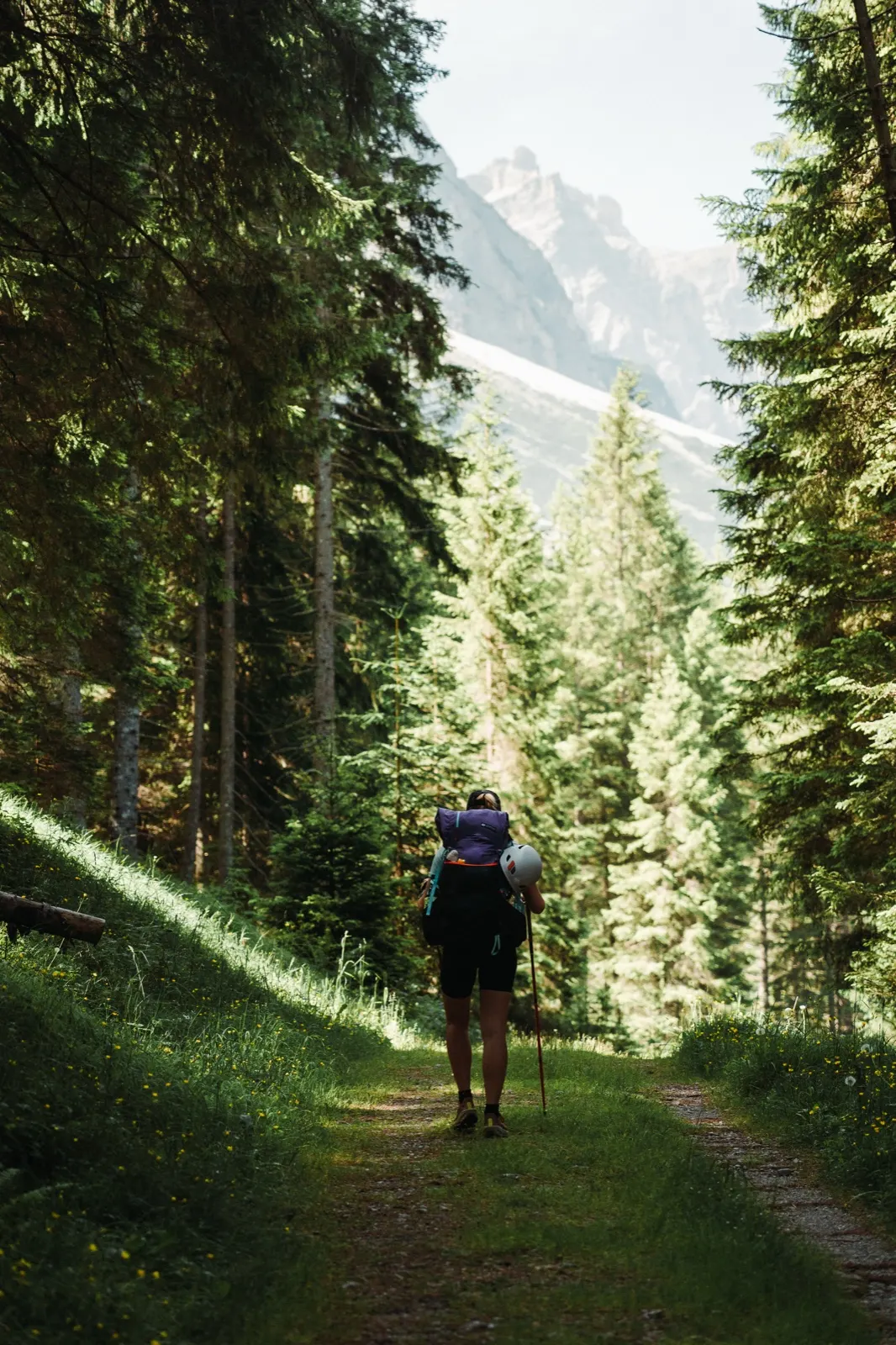
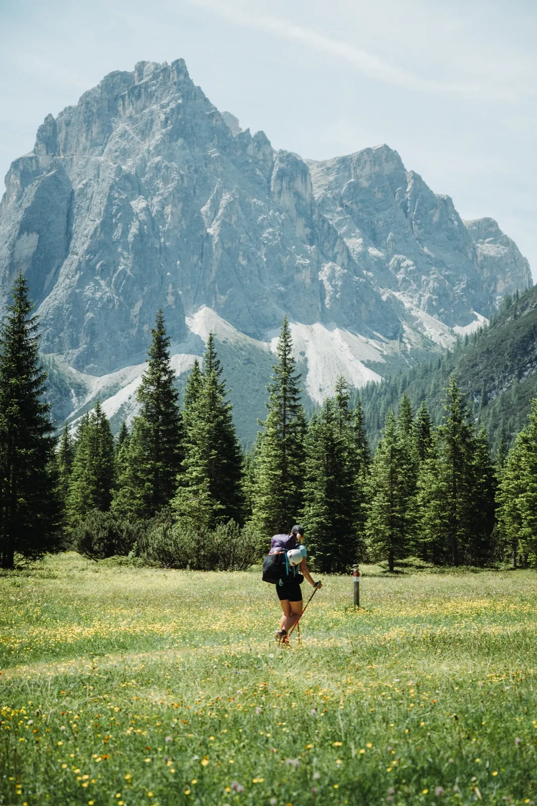
It’s shortly before nine and we finally have our backpacks on. We set off along a forest path beside the road, past our sleeping spot, towards the town of Sexten (Sesto). A mountain stream and the shade of tall trees accompany us and shelter us from the high temperatures in the valley.
Improvising from the very start
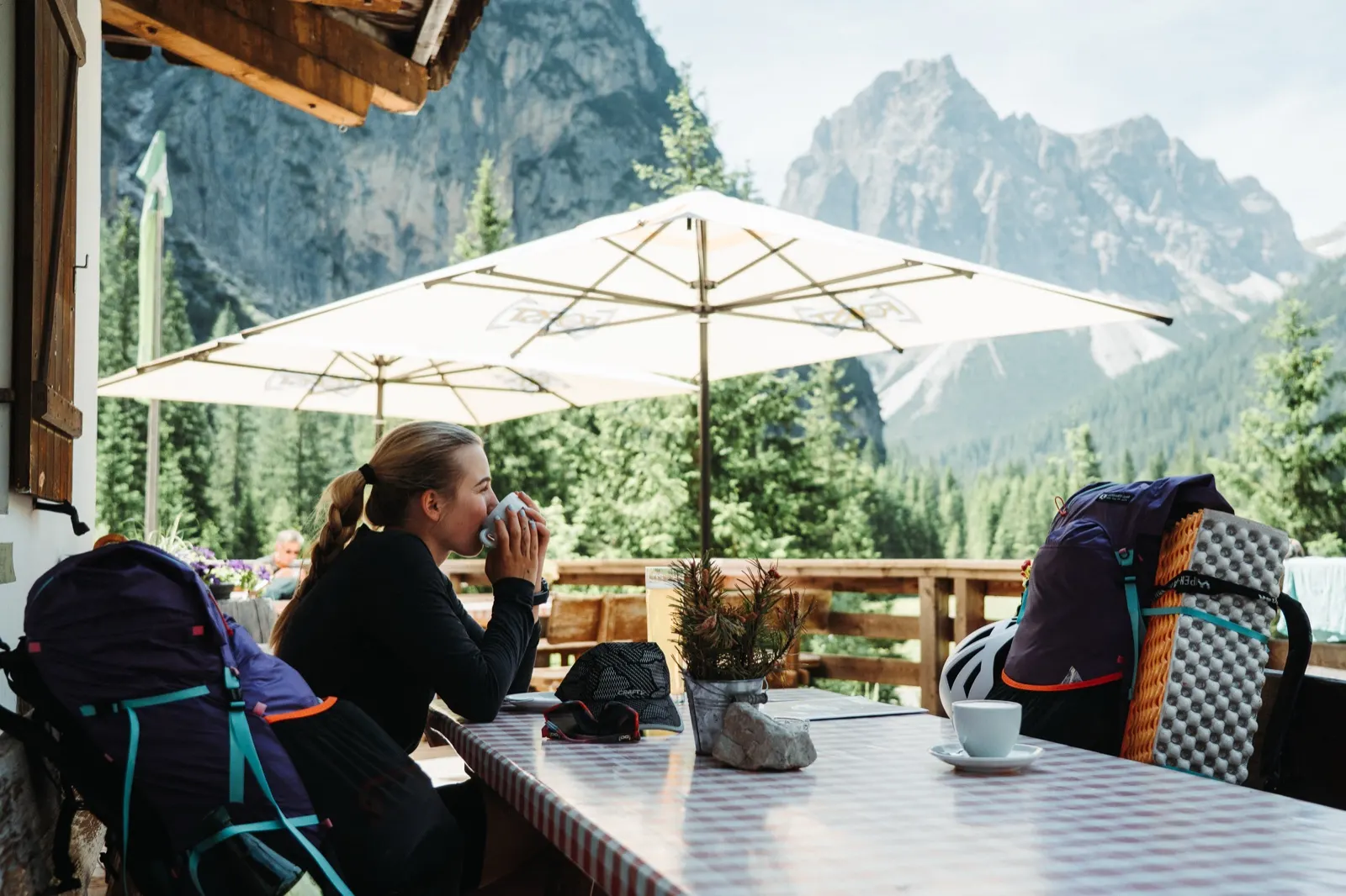
About halfway to the town mentioned above we turn south into the Valle Campo di Dentro and soon arrive at Rifugio Tre Scarperi. We have a cappuccino and take in the view of the climb ahead – which looks a bit more daunting with full packs.
All along the way, though, I had a strange feeling I’d forgotten something. Only when a message landed with a photo of two spoons on a shelf at home did everything click into place. The question immediately started rattling around my head: “How are we going to eat tuna, porridge and dehydrated dinners now?”
Luckily there were several huts waiting on the way, so I hoped I’d somehow sort it out. I tried explaining the situation at the first one, successfully. They kindly gave me one spoon, and so after a short refreshment we set off towards the mighty mountains.
Today lunch is served in vertical metres
Specifically four kilometres and almost 800 metres of elevation gain. We climb winding paths up a steep hillside and stop every so often to top up on fluids. We cross mountain torrents, stone steps and here and there a few safety chains.
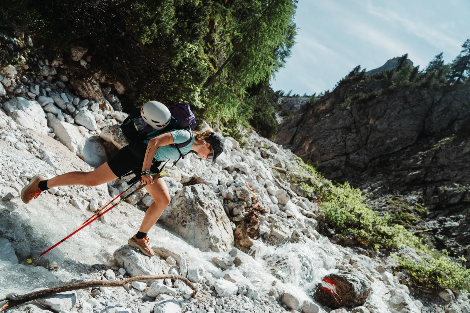
At first we still hide from the sun in the trees, but higher up nothing shelters us any more. We look for every scrap of shade where we can rest our heads. A cap soaked in icy water literally steams when we put it on, and within ten minutes it’s as if it came out of a tumble dryer.
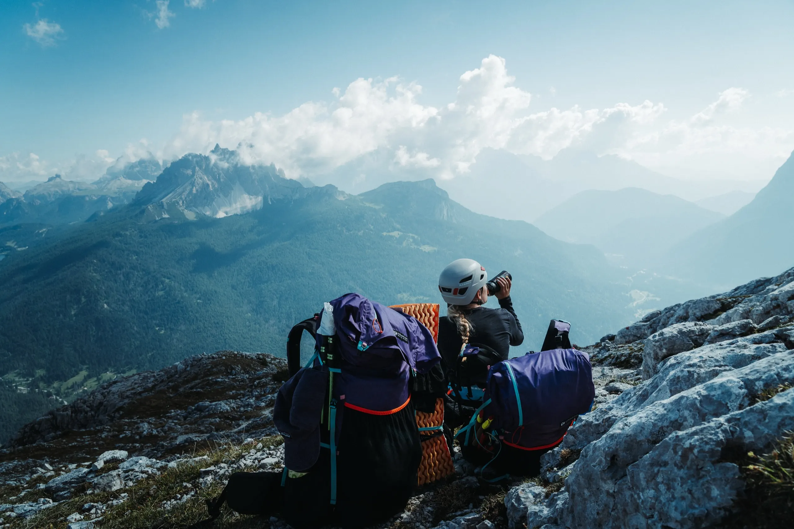
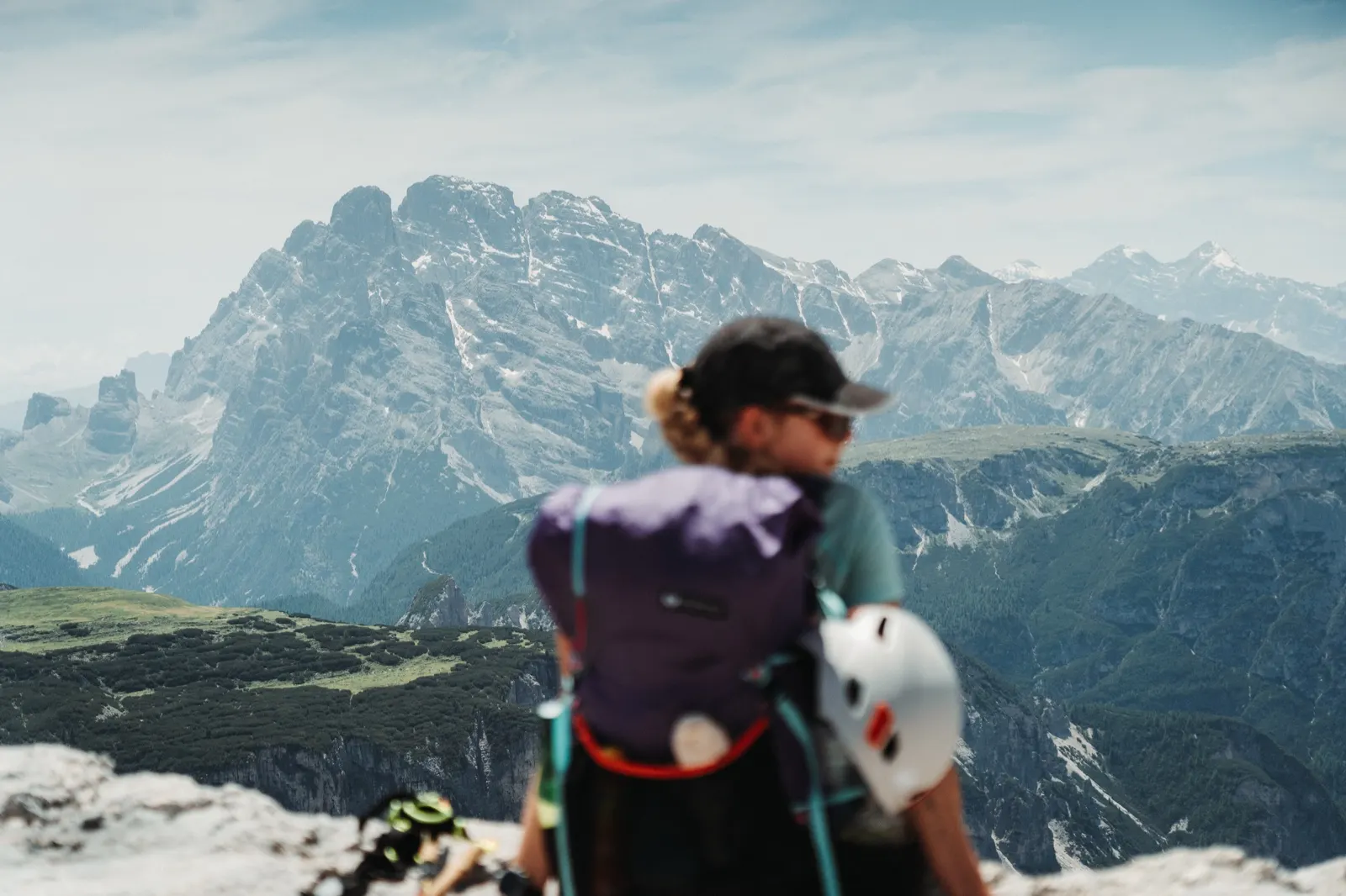
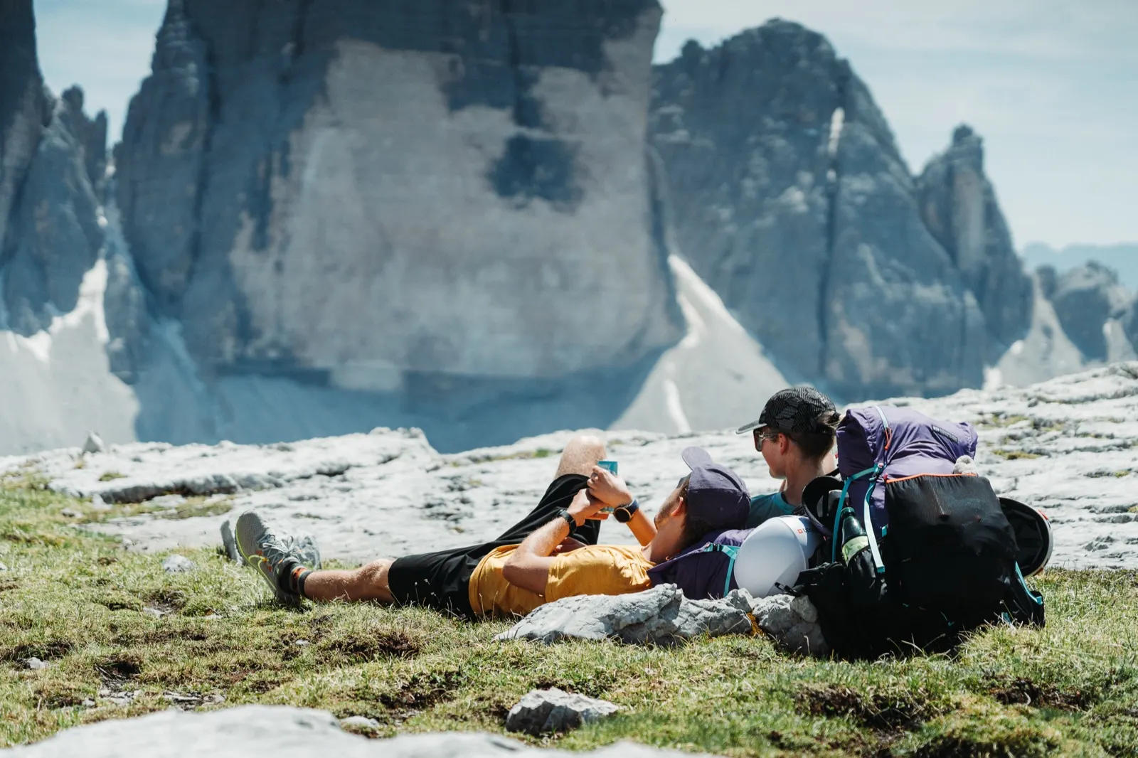
After almost three hours we’re at the top, sweated through so much we could be wrung out, but with a royal view. We throw our packs on the ground, pull out a can of Red Bull as a small reward and soak up the divine panoramas. We sit at 2,500 metres above sea level and, alongside German retirees, enjoy the view of Tre Cime in all its glory.
A closed hut – no problem
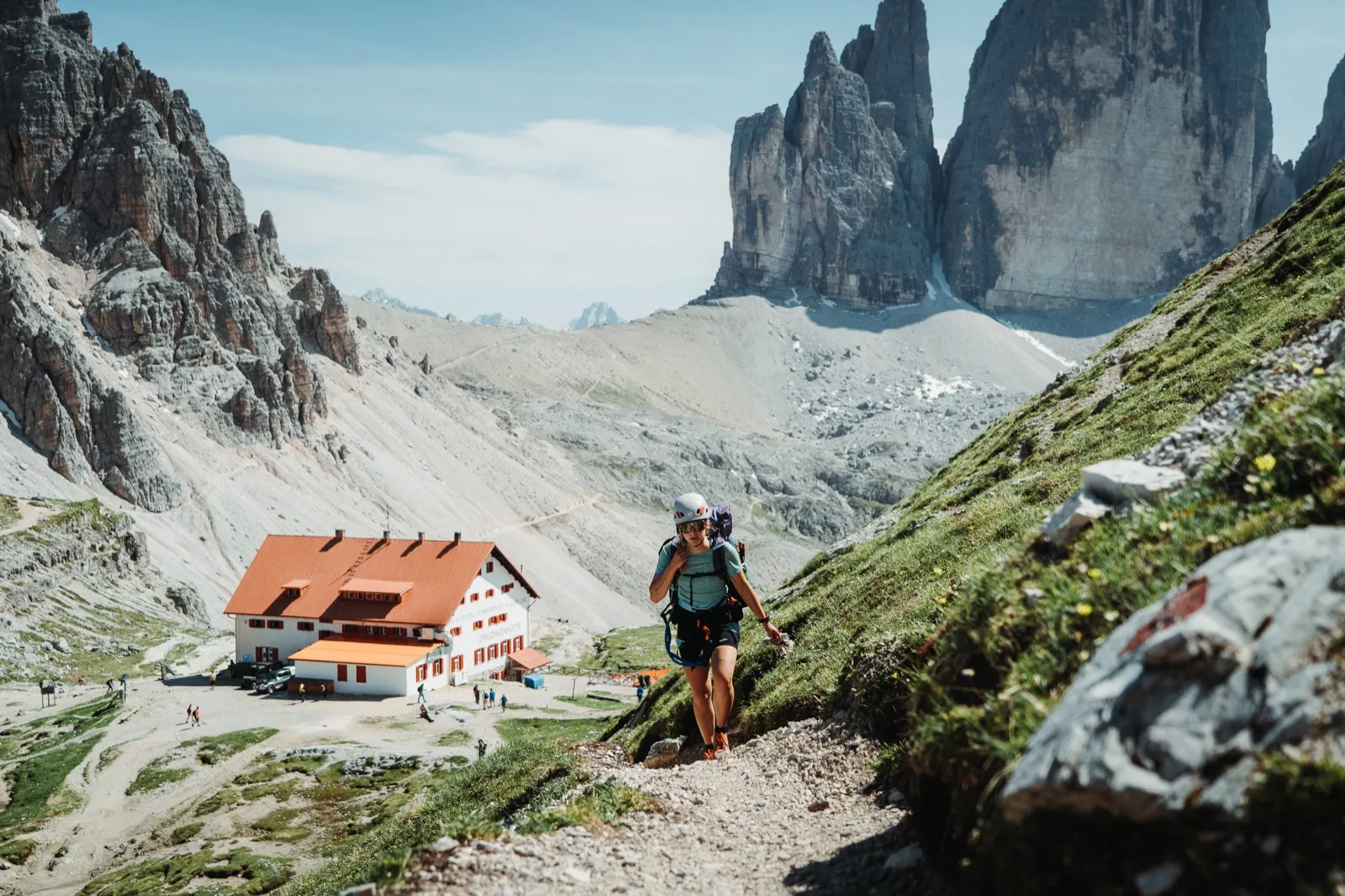
The musicians in our bellies are slowly starting to play, so we return to the path and continue to Rifugio Antonio Locatelli. The route follows a well-trodden stone path with open views over the whole landscape.
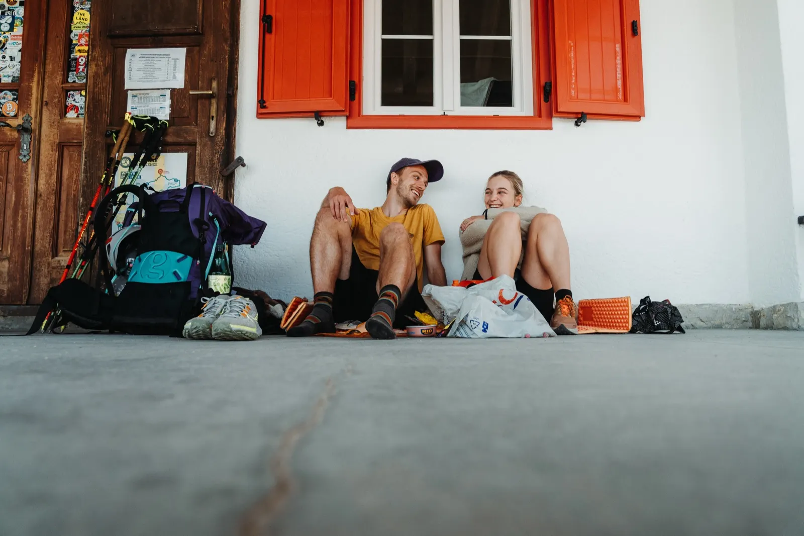
We arrive at the hut and an unpleasant surprise awaits. We’re here before the tourist season has started, and the smaller crowds come at a price – the hut is still being renovated. We don’t mind, though, at least we can lighten our packs. We take out our proven classic – tortillas, tinned tuna and spread, we combine it all, roll it up and have our Michelin-star lunch.
Testing the gear for real
Originally no via ferrata was supposed to await us today, but when we see others in via ferrata sets with helmets on, we decide to at least try it. We head for one of the most beautiful via ferratas in the area – Torre di Toblin, marked on the map with sections C and B. The approach from the hut is short but a bit steep and, with full packs, it’s tough going.
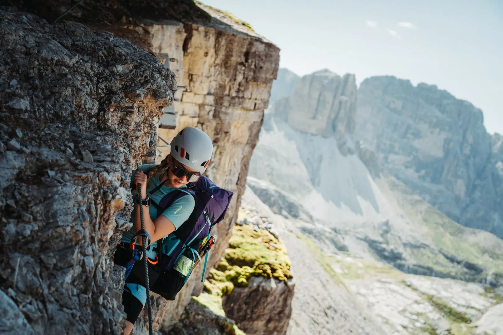
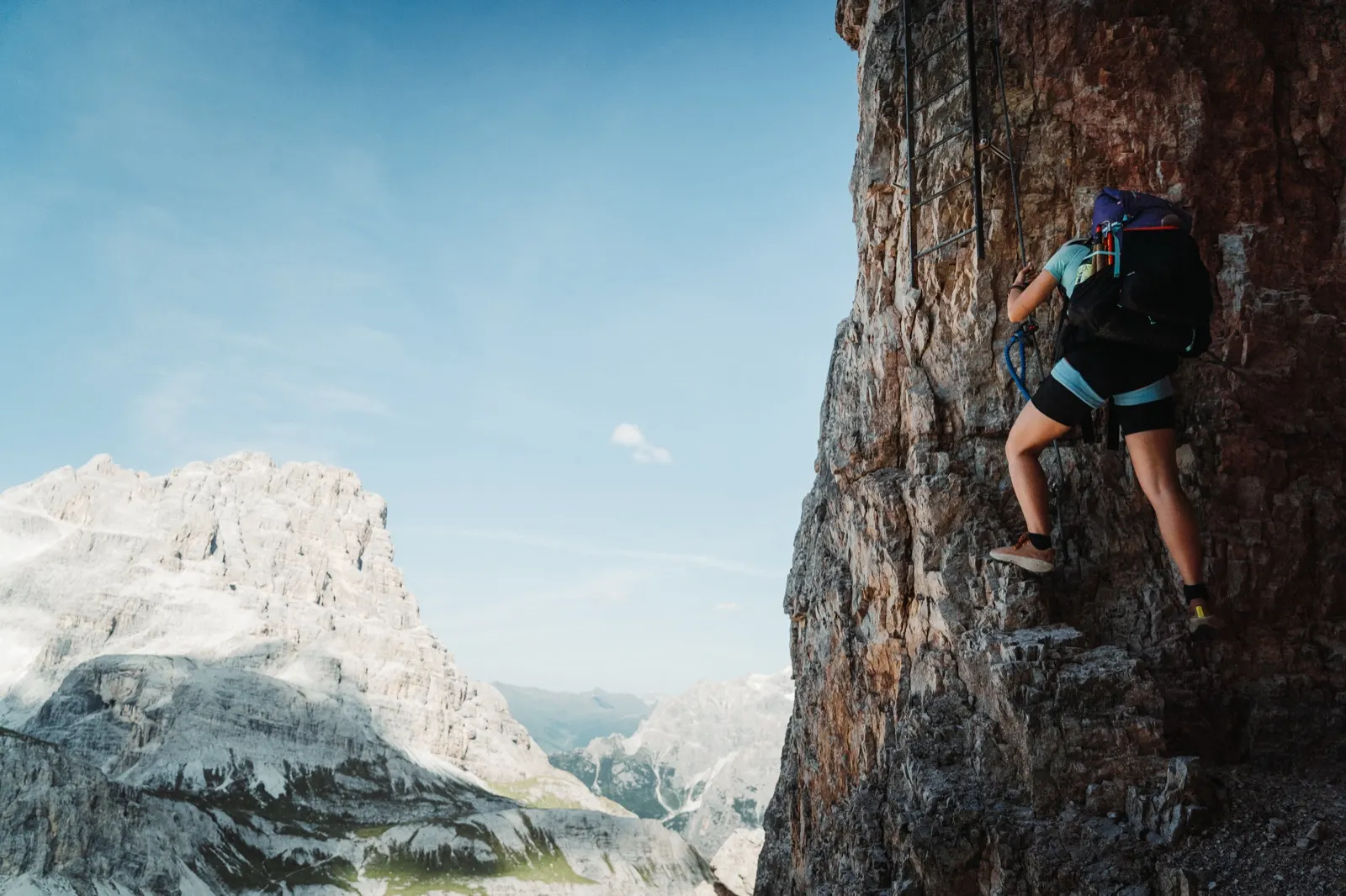
The views are beautiful from here already, but we go around the summit from the other side and step onto the first ledges and ladders. The via ferrata is fun, airy, moderately demanding on the arms and definitely not for people who are afraid of heights. About halfway along there is one more difficult section that tests our loaded packs, and when we look at our watches we decide to turn back so that we can reach our destination before dark.
We hadn’t planned the Torre di Toblin via ferrata at all. We only discovered it along the way when we saw other hikers with their gear. Had we known earlier, we’d certainly have included it as part of the trek, because the views from the summit must be worth it. It’s no coincidence that during the First World War this peak served as an Austrian observation post.
We go back to the refuge where we had lunch and decide to bypass the Tre Cime on the right – along the official Alta Via 4 route. At the Malga Langalm hut we top up with fresh water and continue for about another hour towards the well-known spot of Cadini di Misurina.
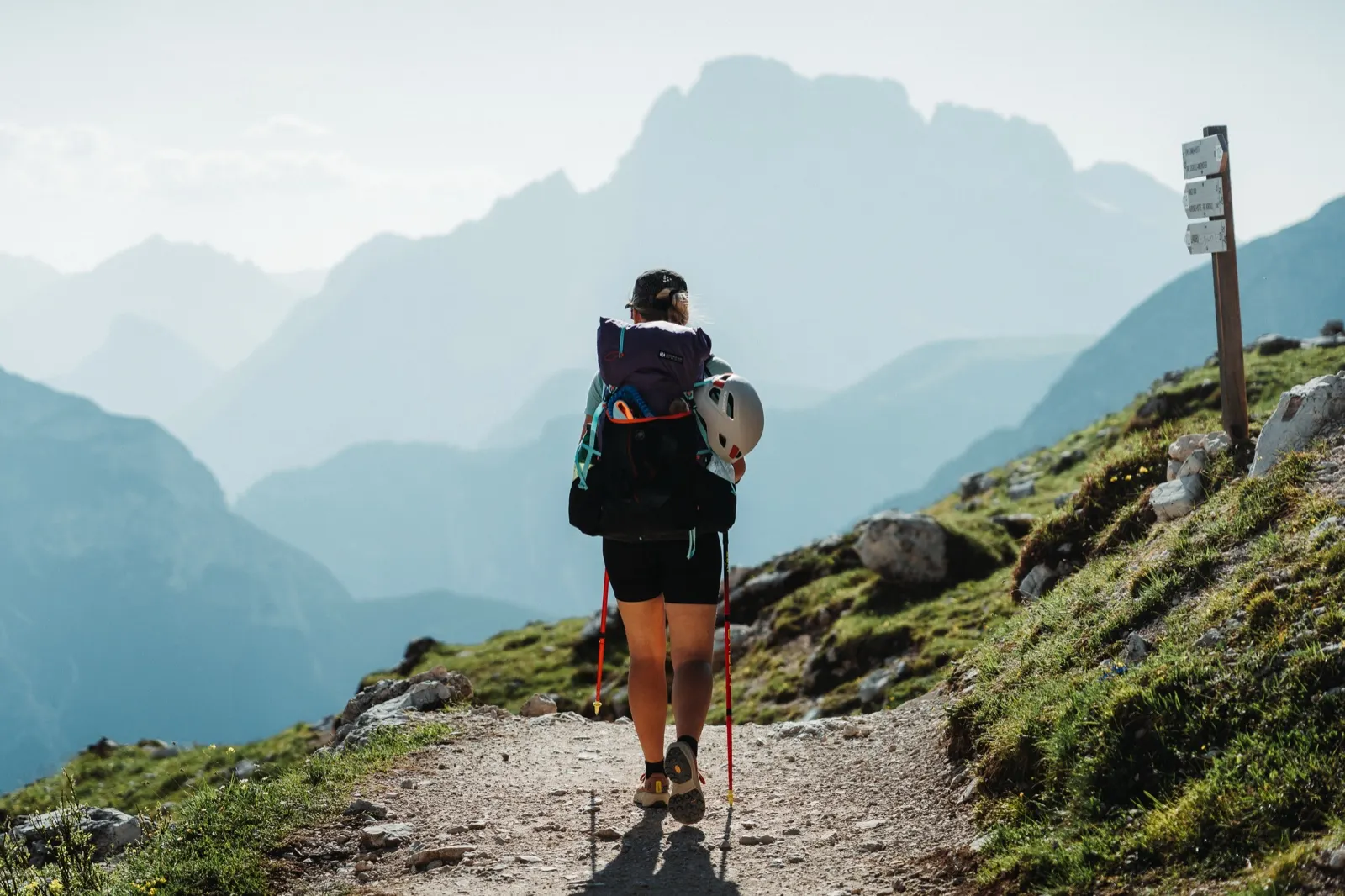
We know the viewpoint, but this time we’d rather skip it. We don’t feel like standing in a queue of fifteen people for a single photo. We’d rather walk a bit further and enjoy the evening in peace. So we leave the path and descend west by 50 to 100 metres of elevation.
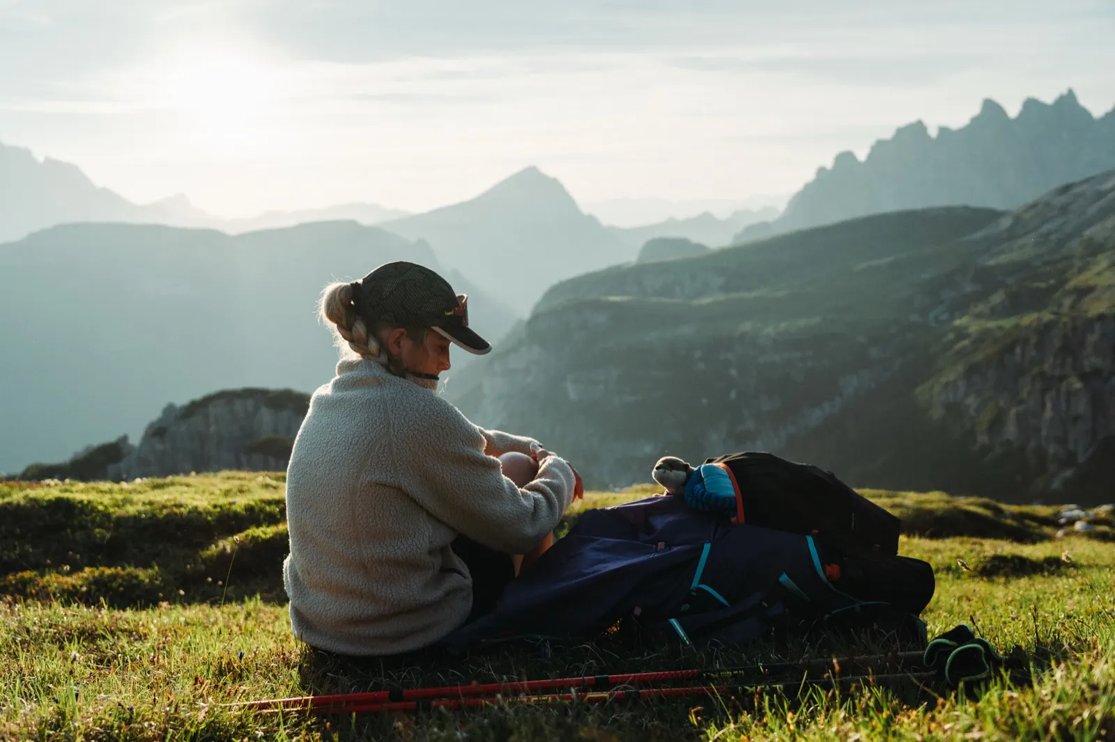
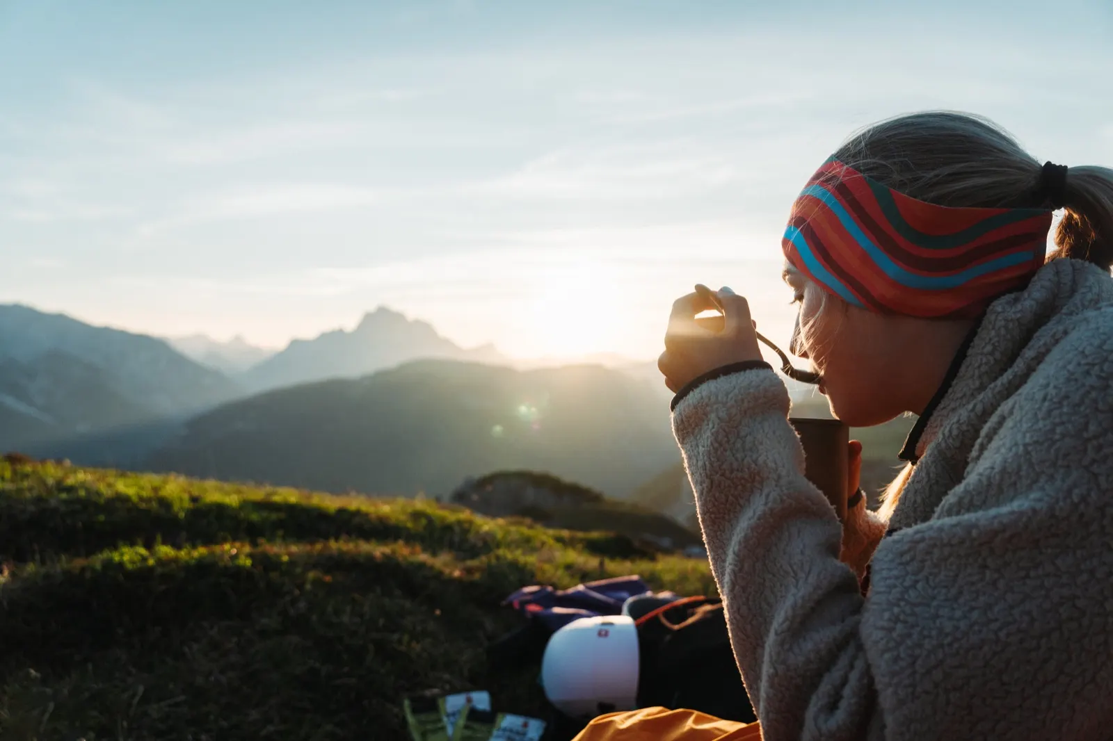
Fine dining on a sleeping mat
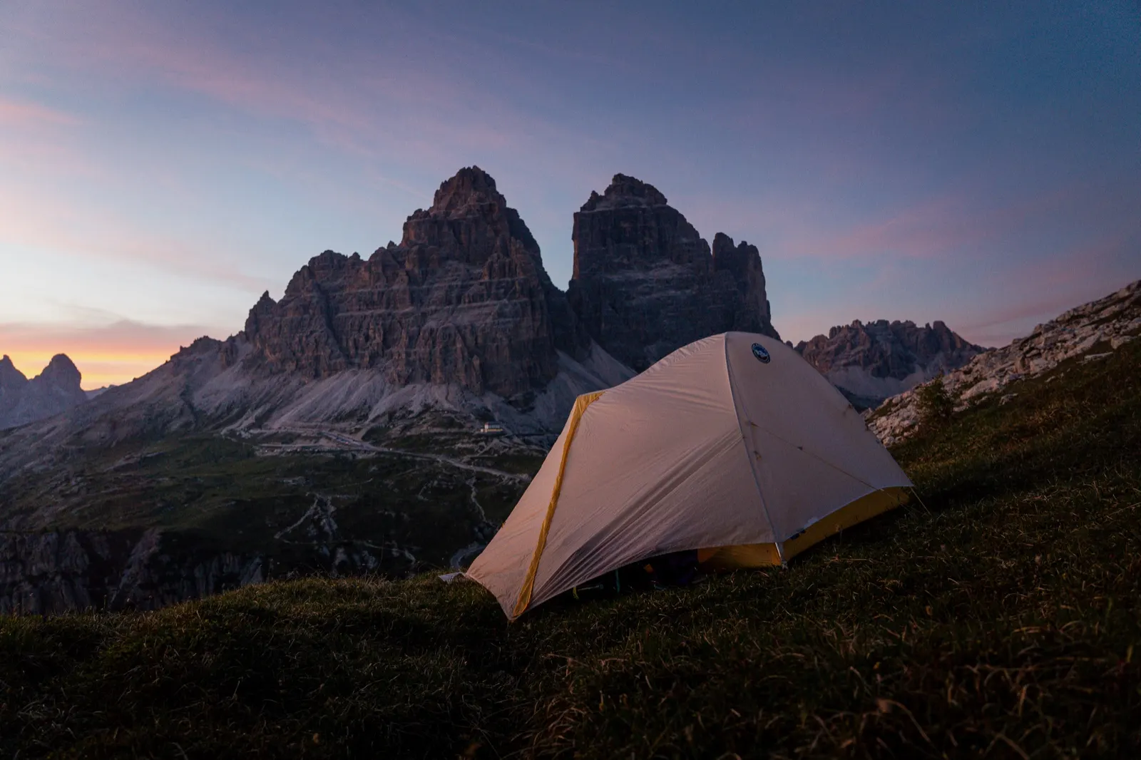
We arrive just in time for the sunset. From the pack we pull out dehydrated bolognese spaghetti and start cooking. It doesn’t take long and soon we’re sitting on the mat, wolfing it down and enjoying the last falling rays of sun on the Tre Cime and the surrounding hills. Everything around us sinks into a soft orange-pink light, and the silence is broken only by the hiss of the stove where the second round of dinner is being prepared – wafers.
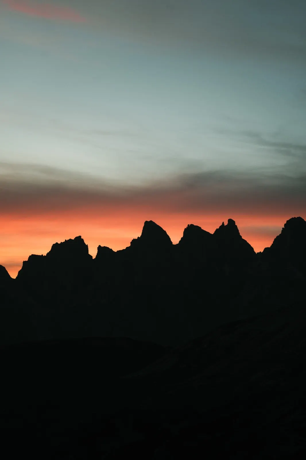
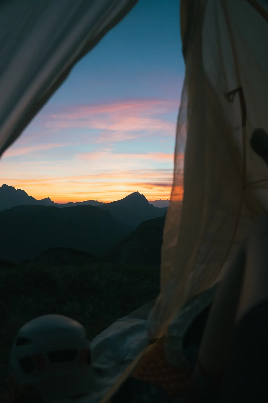
The cold slowly creeps into the hills; it’s time to put on layers and start pitching the tent. We throw our things inside before the dew falls and crawl into our sleeping bags. The thought of photographing the night sky flashes through my mind, but as quickly as it came, it vanished – somewhere far off in the dark, in the comfort of a down sleeping bag.
Day 2 – Rifugio Fonda Savio, Rifugio Città di Carpi and Lago di Sorapis
The real adventure is only just beginning
We wake at sunrise, gently stiff, as one usually is after the first night in a tent. We lie for a while in our warm sleeping bags, and once the rays of the sun reach us too, we get moving. The tent is covered in dew, but it did its job. Our hands are still a bit stiff and our eyes half glued shut, but we slowly get going. We pack up, cook oatmeal with nuts and before seven we’re already off, curious what the mountains have in store for us today.
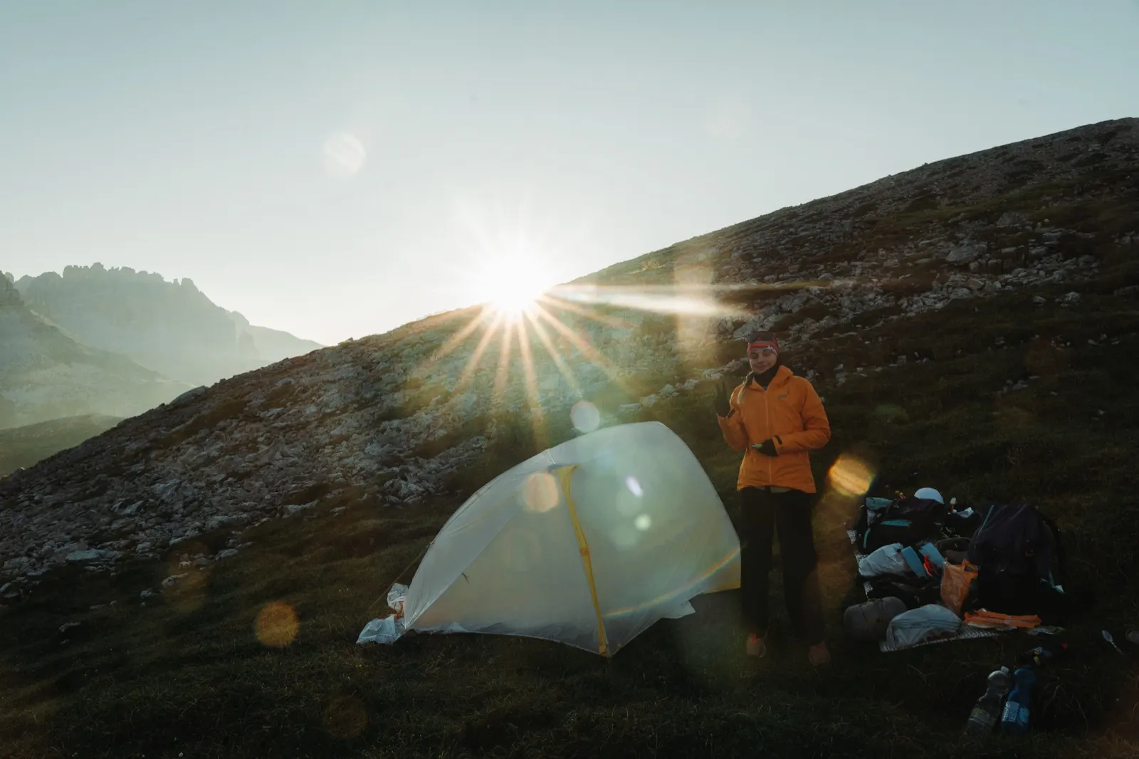
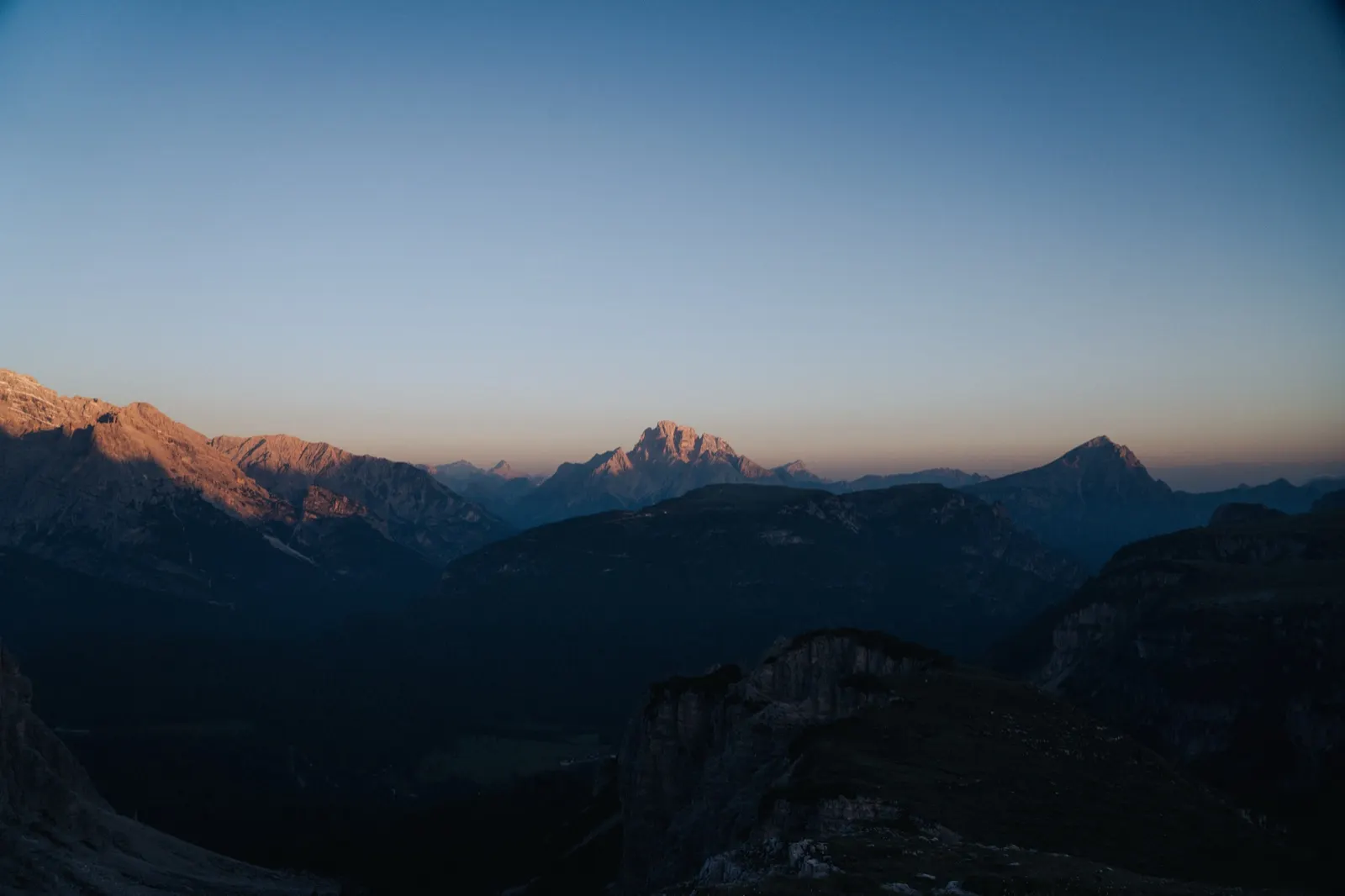
We return to yesterday’s path, which this time served up mainly a psychological challenge. On the map this section is marked as a “B” via ferrata – in reality it’s an easy secured path, but in places really narrow, often only 30 to 50 centimetres wide. Where the path ends, a steep slope begins – 200 to 300 metres of elevation, just like that.
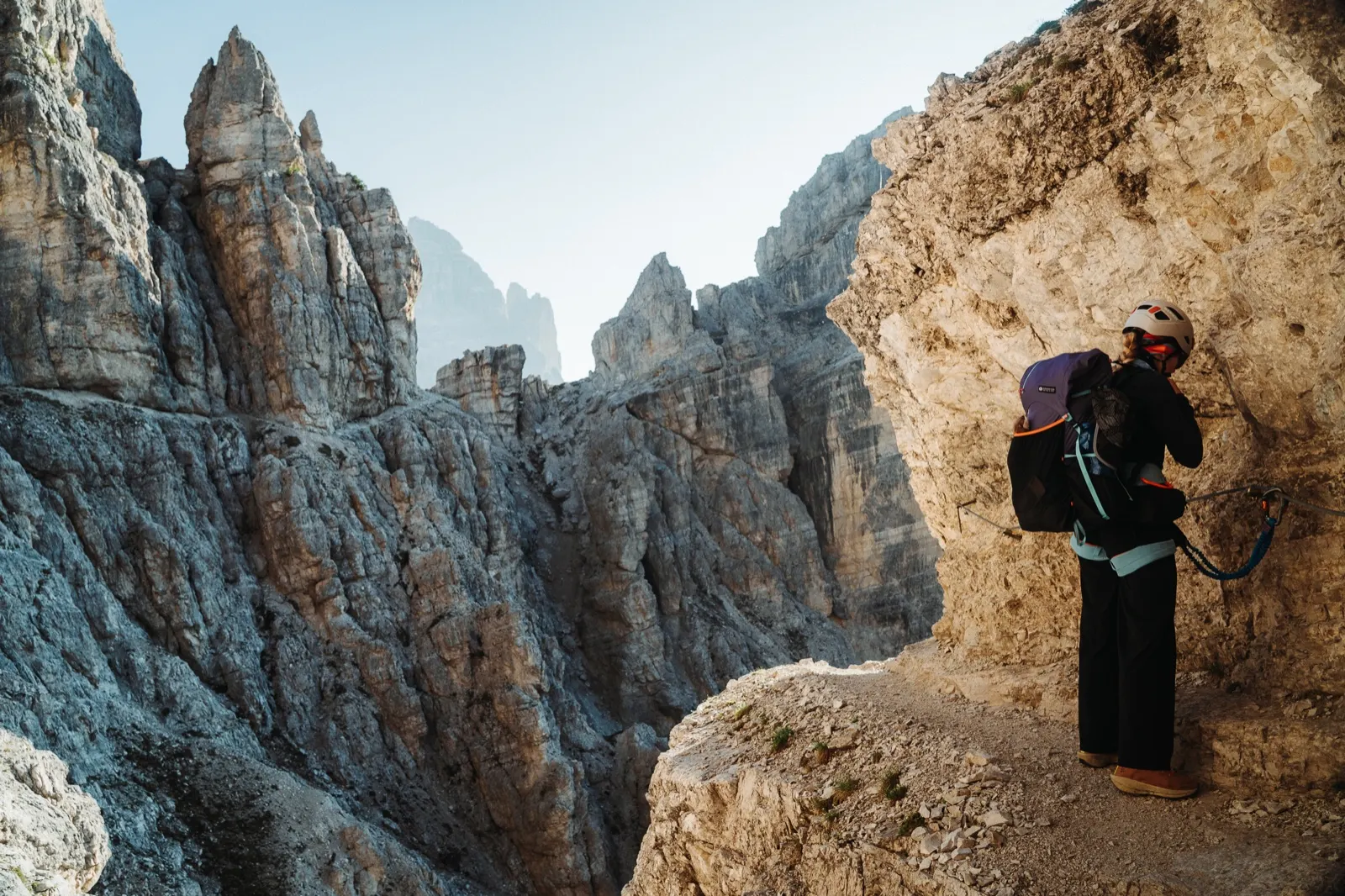
At first glance it may seem like a stroll, but with fully loaded packs it really takes it out of us. As a bonus, the whole time we have the feeling that whoever decided which sections to secure and which not simply tossed a coin. You’ll find plenty of passages where the protection ends without logic, the next begins only a few metres further on, or there is none at all – precisely where it would come in handy.
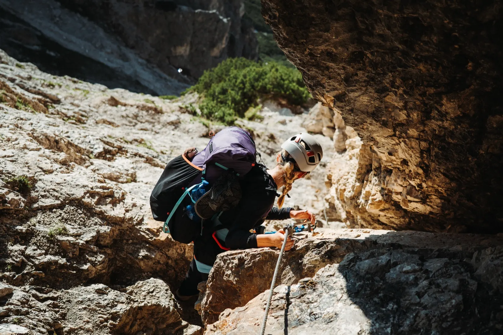
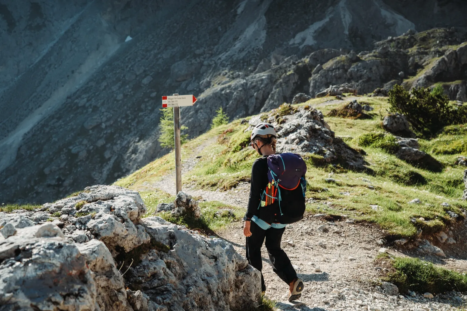
One step back can mean two steps forward
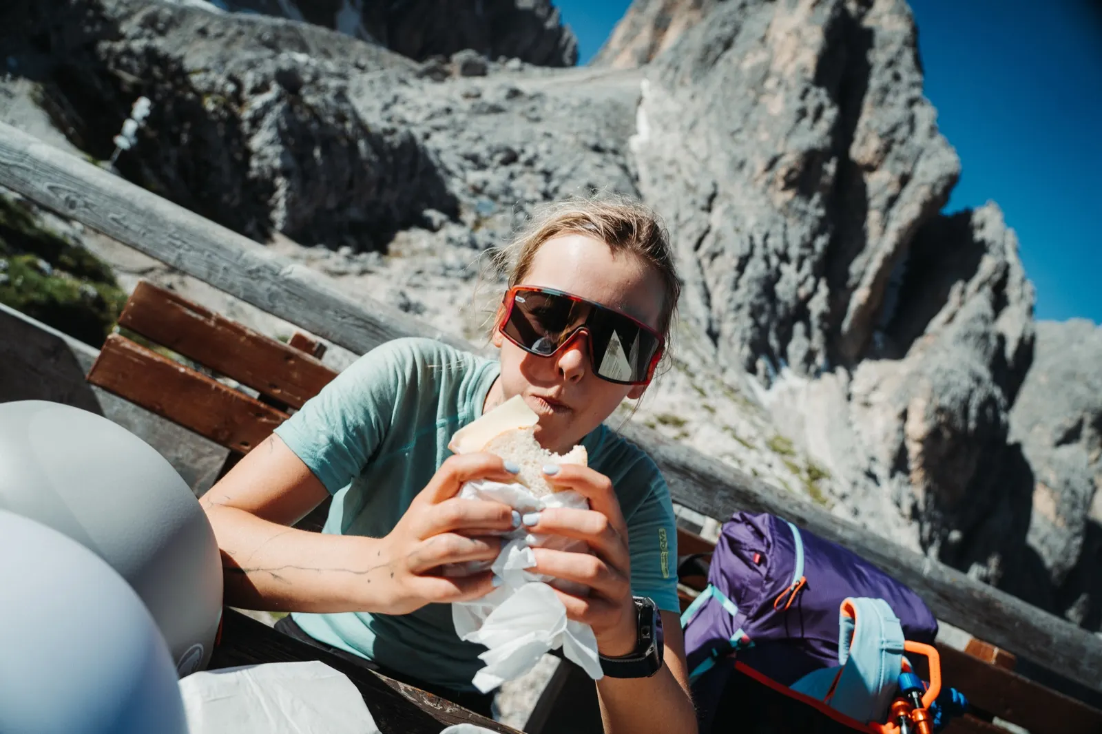
We reach Rifugio Fonda-Savio before eight, just in time for a second round of breakfast and a coffee with a view. This morning relaxation at the huts was what we’d looked forward to most after last year. Small moments when fresh bread, ham, cheese and a cappuccino can make your day. We study the maps and decide to shorten the official route by crossing the Forcella del Nevaio pass.
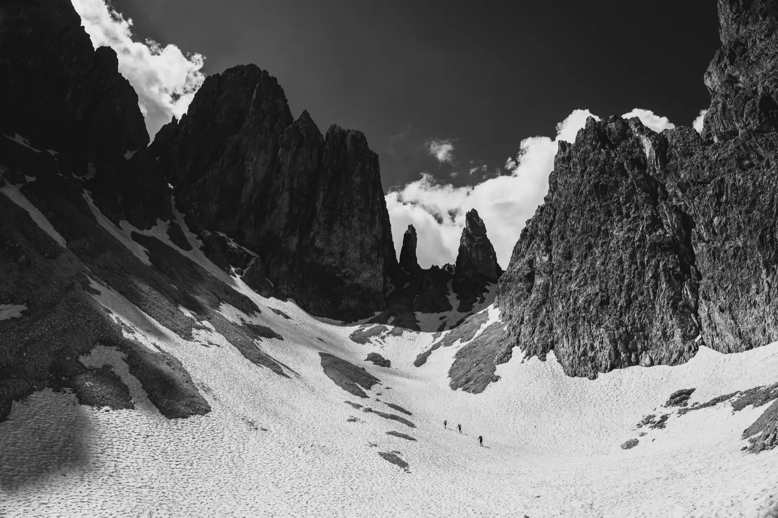
We get beneath the pass and are surprised by a snowfield stretching all the way to the top of the ridge. We follow the footsteps of two hikers ahead of us and manage to climb about three quarters of the way up, where we stop and decide to go back to the hut and bypass this section.
We have only our classic trail shoes on our feet, which we use on long treks mainly for comfort. Here, though, crampons would have come in handy, and an ice axe wouldn’t have gone amiss either. We lose about two hours and our originally restful day turns into nothing of the sort. Later I remember a short line I’d seen from Lenka Poláčková just before the trek: “Mountain has no brain – use your own.”
Back on the trail, with humility
From the hut the original route leads over three passes, all at around 2,400 m above sea level. There’s no trace of snow – they’re exposed to the sun all day. The paths are again narrow, stony and wind their way uphill. It’s therefore a good idea to wear a helmet so you can avoid falling stones from hikers above you.
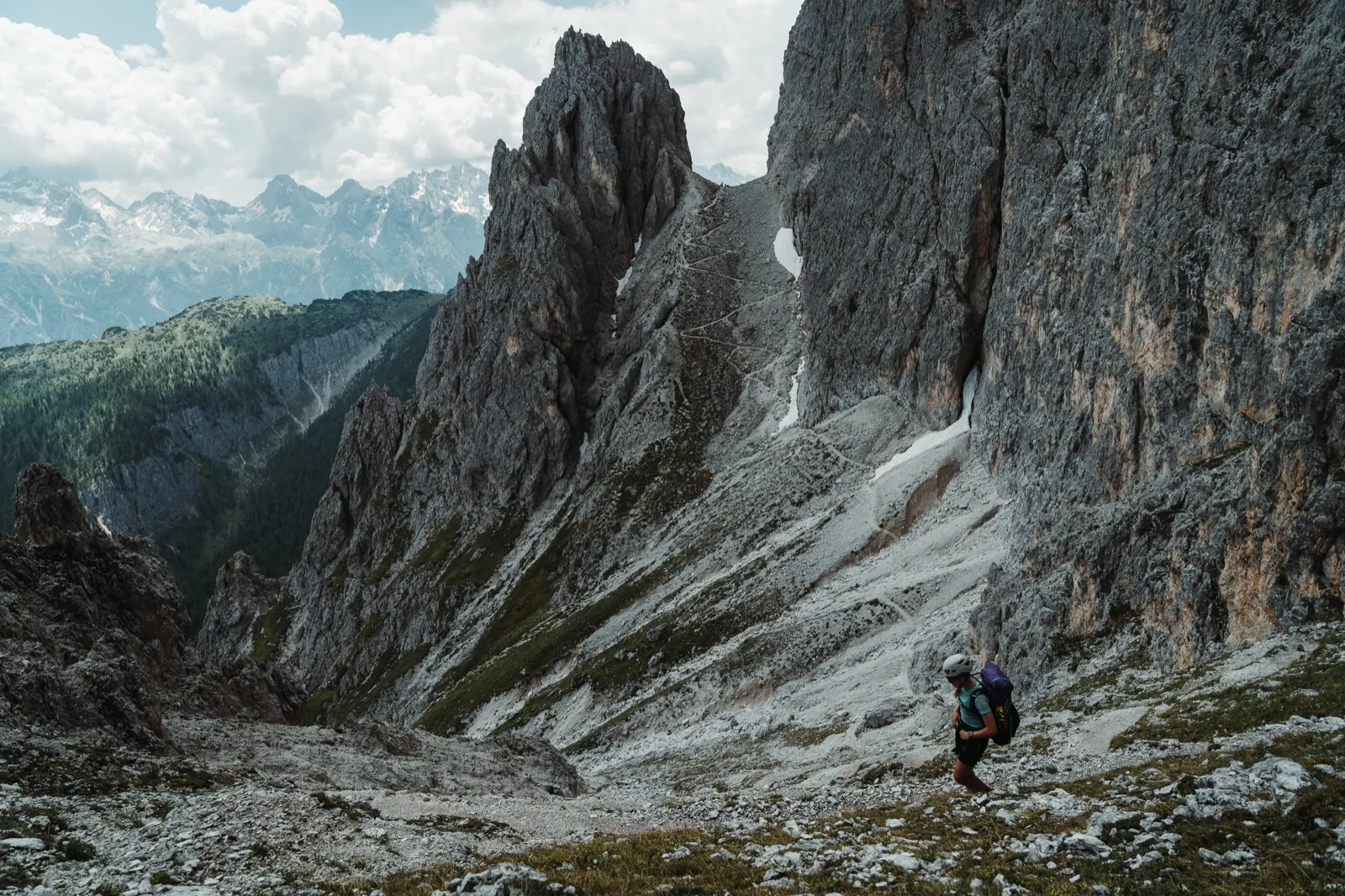
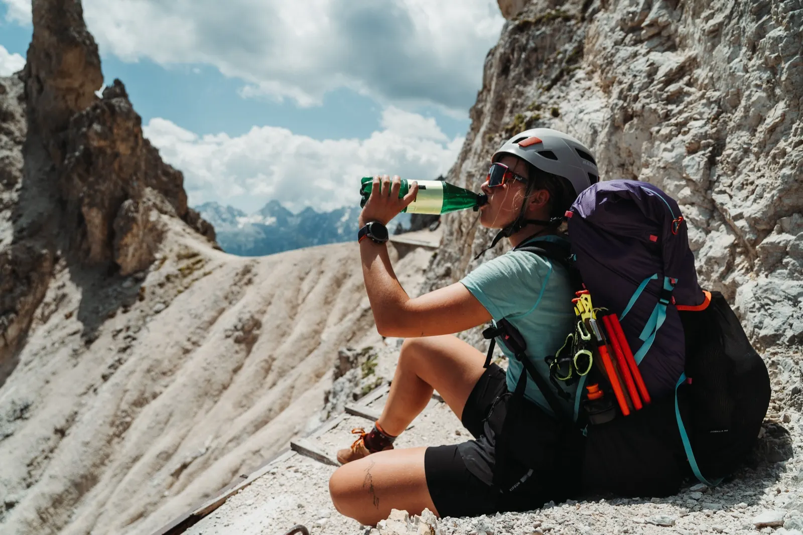
Afternoon storms here can be unpredictable, so we’d rather quicken our pace. Our legs are like lead on the climb, but the thought of a hot meal drives us on. At the last pass we take a short break, just enough to catch our breath and check how much is left. Rifugio Città di Carpi is within reach.
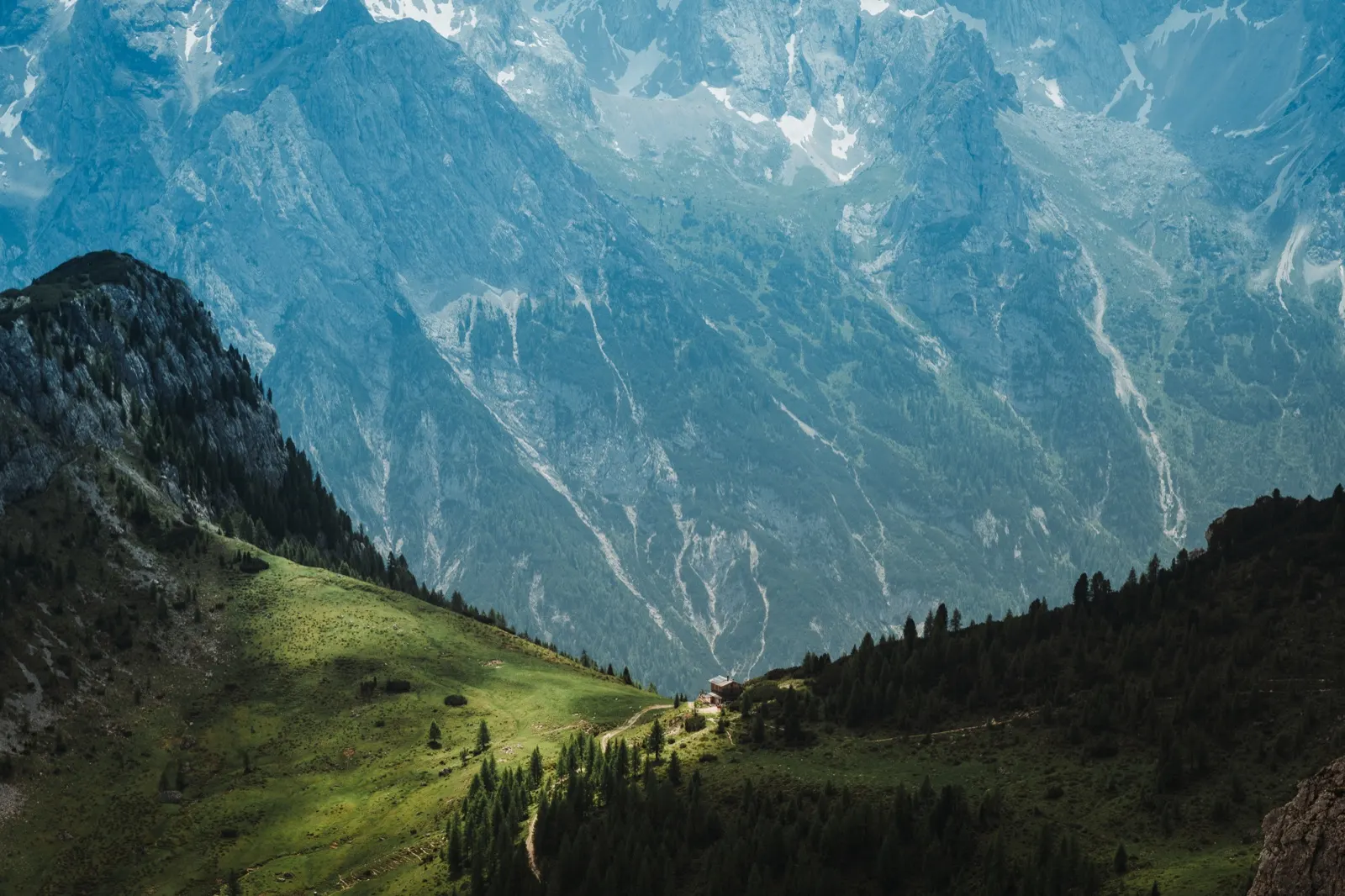
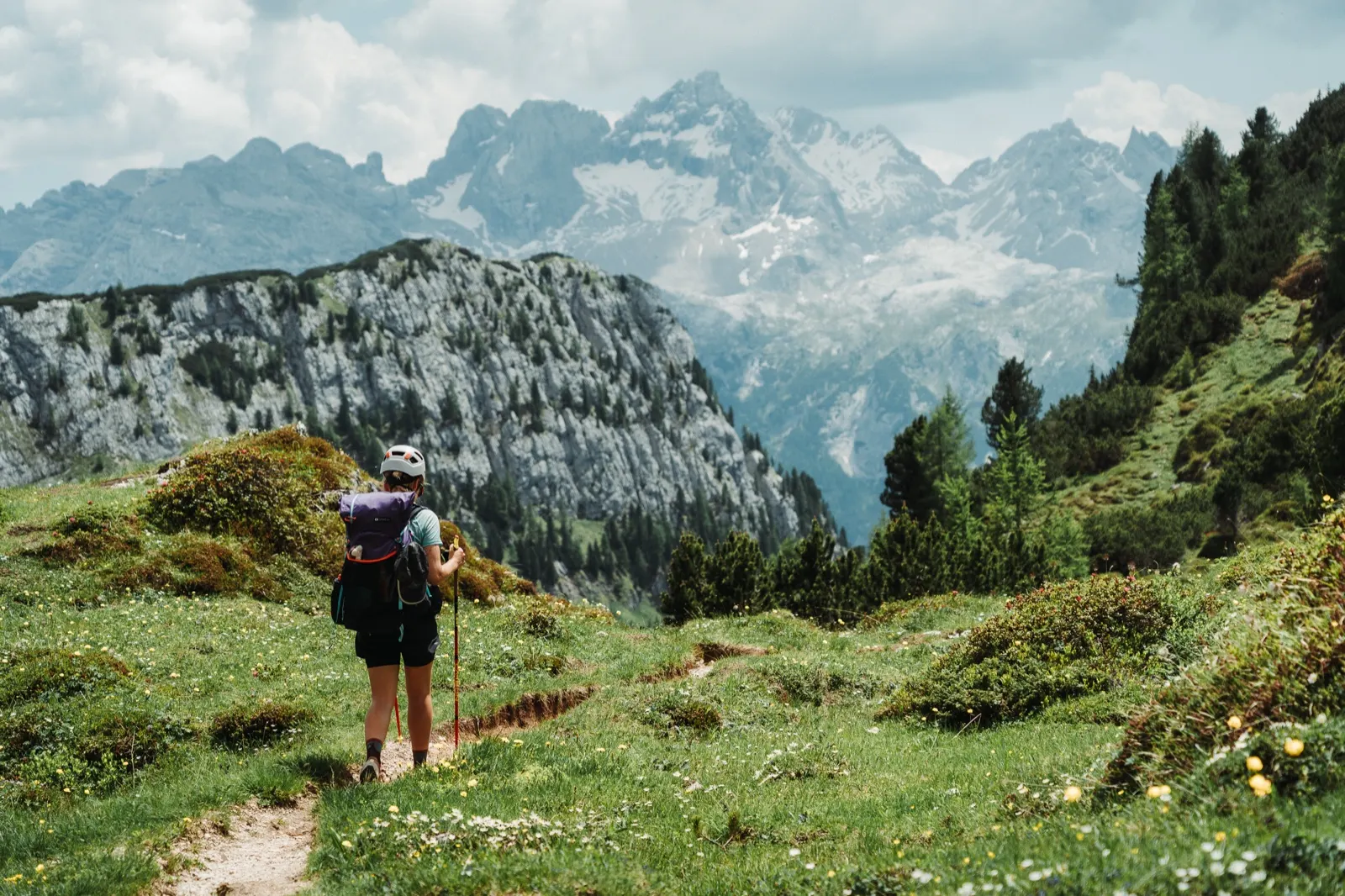
We arrive shortly before one o’clock – sweaty, thirsty, hungry. We quench our thirst with a can of Coca-Cola that, at that moment, tastes better than a beer after a marathon. Pomodoro pasta lands on the table, along with the traditional “top-up” of tuna and tortillas. On the grass by the hut we dry the tent, refill our water and look at the map to see what still awaits us.
A little more uphill to say goodnight
At first glance it looks promising – only “just” 10 kilometres to the finish. But what kilometres! For the first eight we descend beautifully down to the main road, to an elevation of 1,327 m above sea level. Everything goes smoothly, but then… then we spice up the end of the day properly.
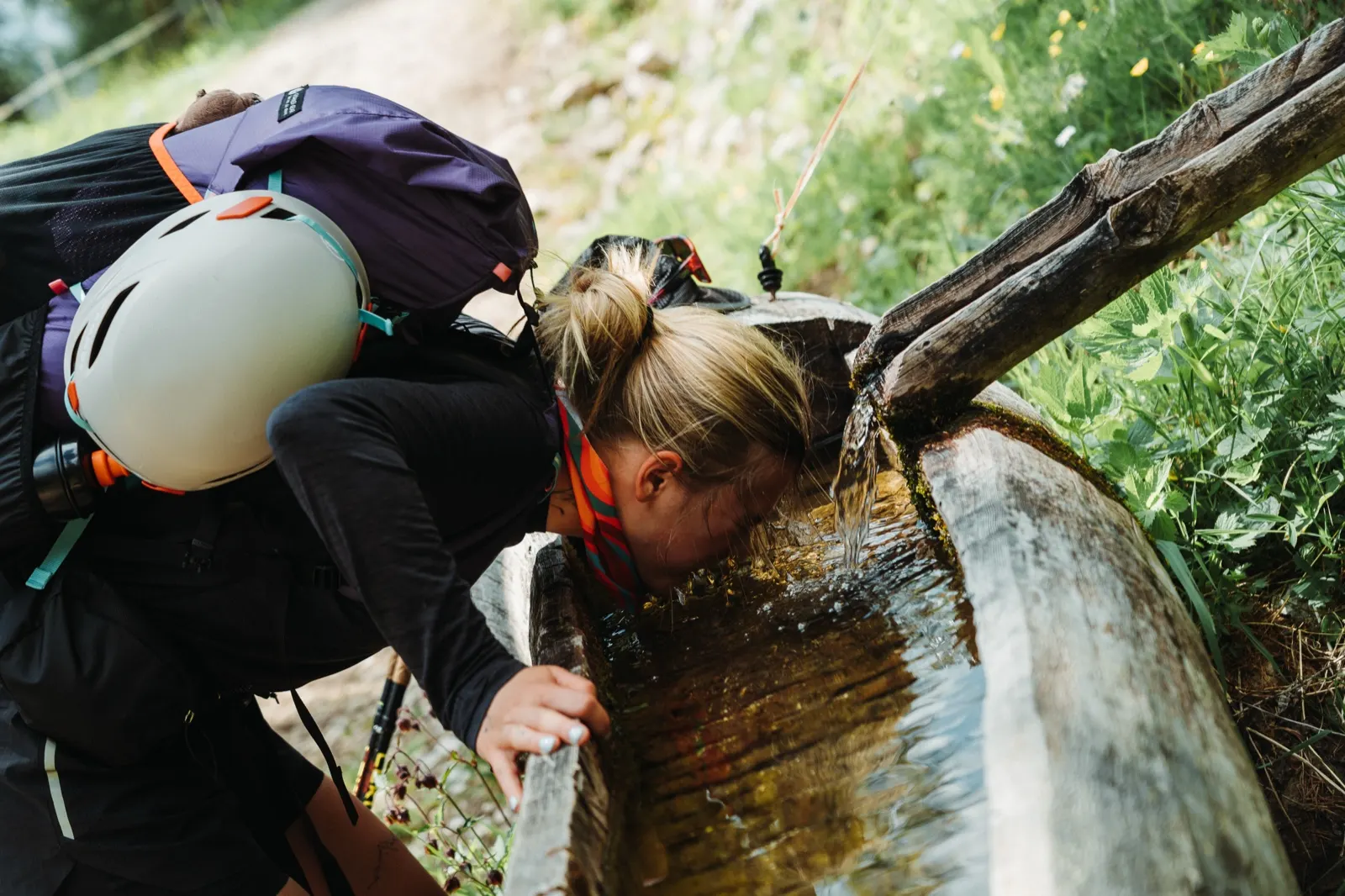
A 700-metre climb over the last two kilometres is smiling at us. Oh yes, Lago di Sorapis doesn’t come for free. There’s nothing for it – headphones in, better not to look at the heart rate on the watch, and off we go. The last two kilometres were among the hardest.
We’re completely drained, but the thought of a bed and a shower drives us forward. After an hour we triumphantly fling our packs off and can only manage to sit on the bench in front of the hut. In the end hunger pulls us inside.
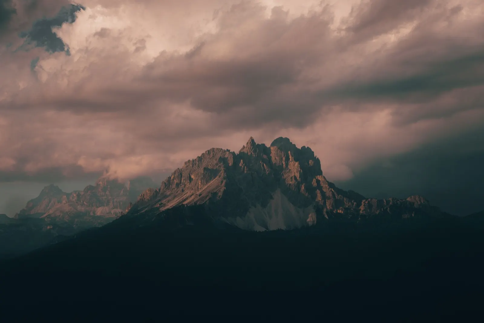
Early-evening idyll at the hut
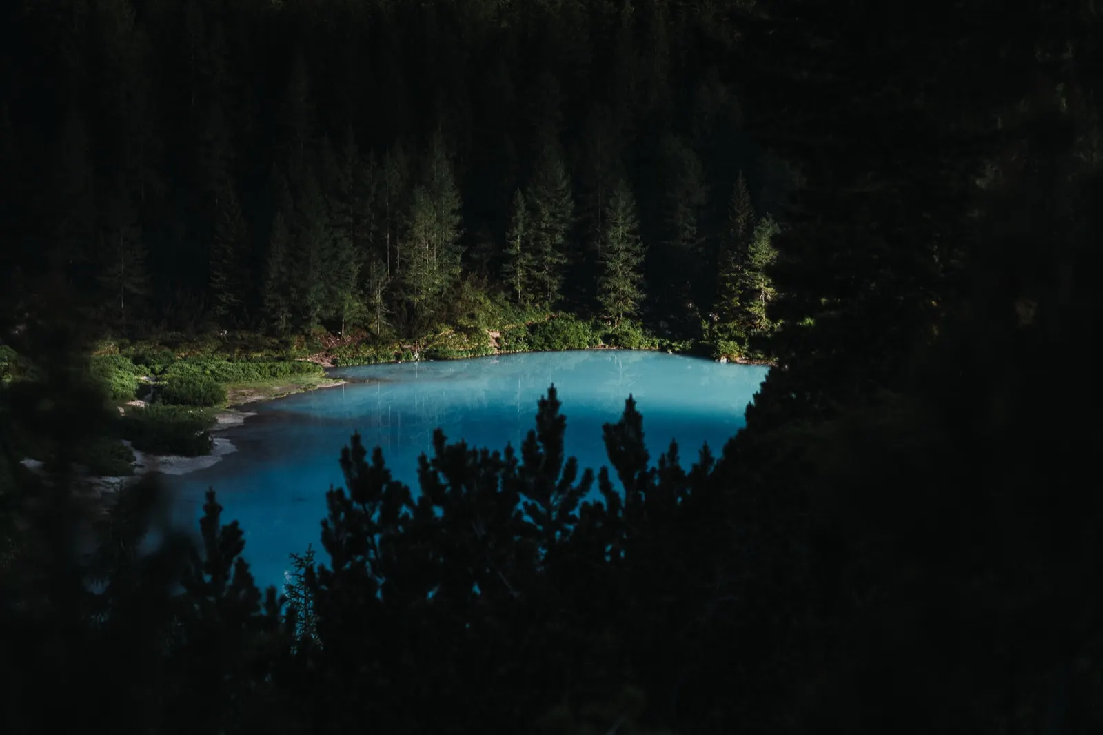
The hut officially opens only tomorrow, but we’d messaged them on WhatsApp the day before and accommodation was no problem (during the season I definitely recommend booking much earlier). The price is similar to elsewhere – €30–40 per person, with a possible 20% discount for members of alpine clubs. Our enthusiasm for the shower soon evaporated, though – it’s out of order. We have to make do with a sink and ice-cold water. We reminisced about the SNP trail and actually take it as luxury.
There’s no drinking water at the hut, so we buy 5 litres for cooking tonight and all of tomorrow. According to the information we have, there’s no spring waiting for us on the route, so we’ll need water for roughly 9–12 hours. What does await us is a royal dinner: lentil dhal, wafers and a shared bolognese. We need to lighten our packs as much as possible – tomorrow will apparently be the hardest section of the whole Alta Via 4.
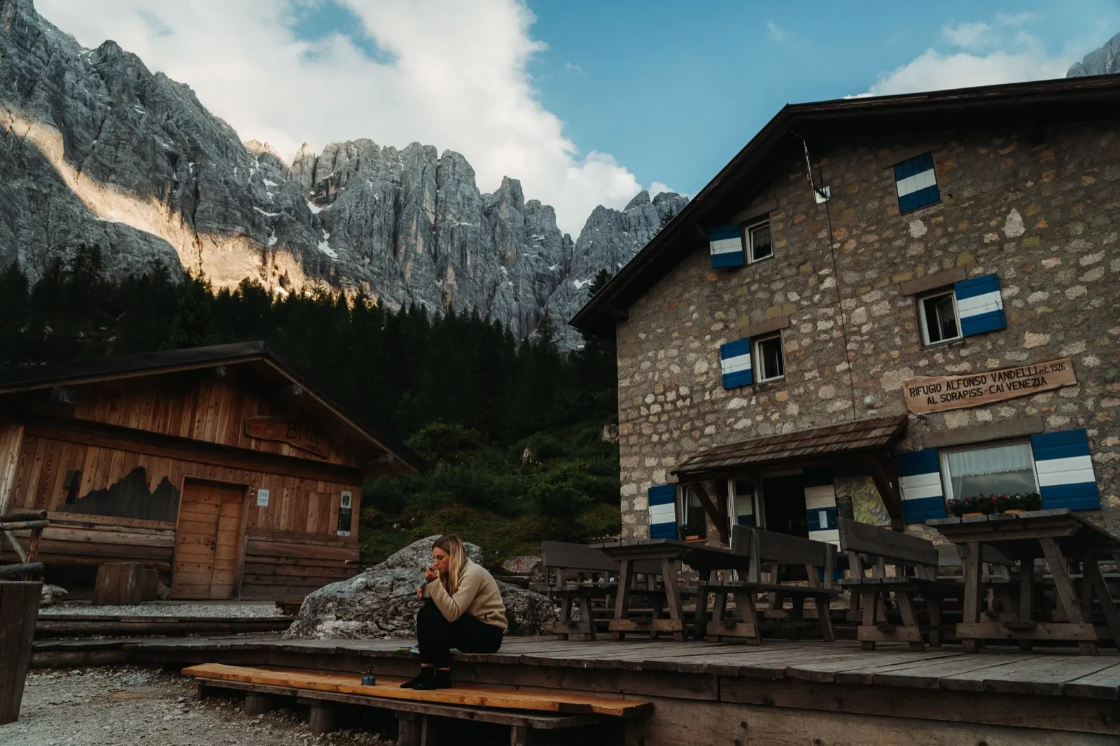
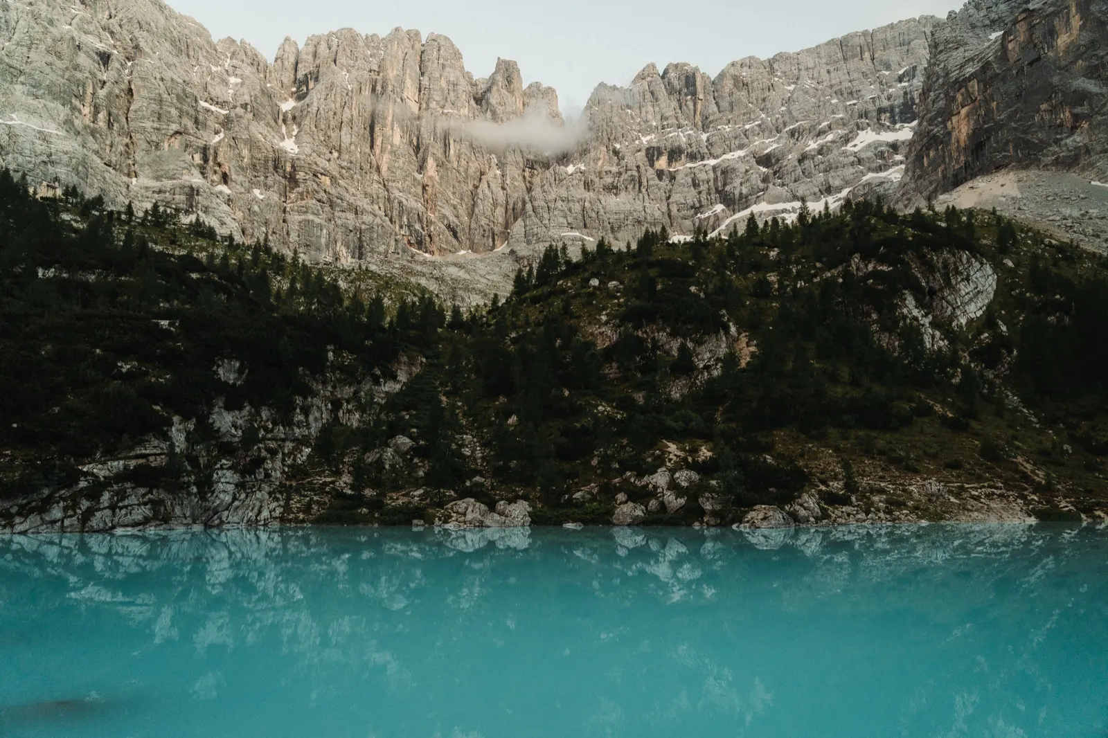
The atmosphere in the evening is indescribable – a colourful sky, silence and mountains in the background. This is my third time here, yet only now am I really enjoying the moment to the full. No crowds, no rush. We don’t linger long, though – the bed is calling.
Originally we had planned to sleep outside every night, for example tonight, beneath the final hill somewhere in the forest. Reality is different, though – the route is tougher than we expected, and for now a bed is a well-deserved luxury. When the chance came to stay overnight in a free hut, we didn’t hesitate. There are only three other hikers here, nothing crowded, which makes it all the more pleasant – and actually a completely new experience.
Day 3 – Vandelli via ferrata, Forcella Grande and Rifugio Galassi
The toughest nut of the route
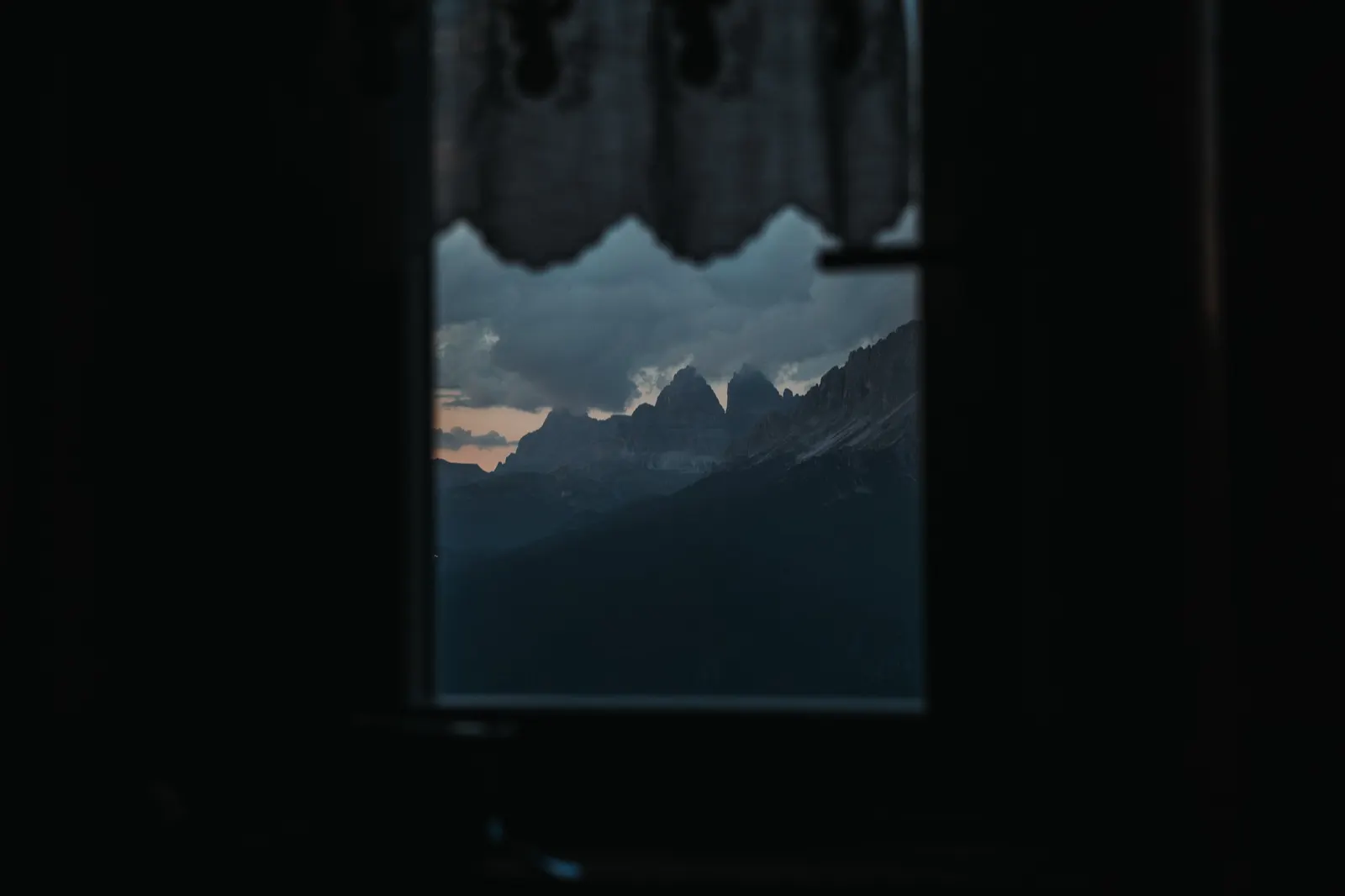
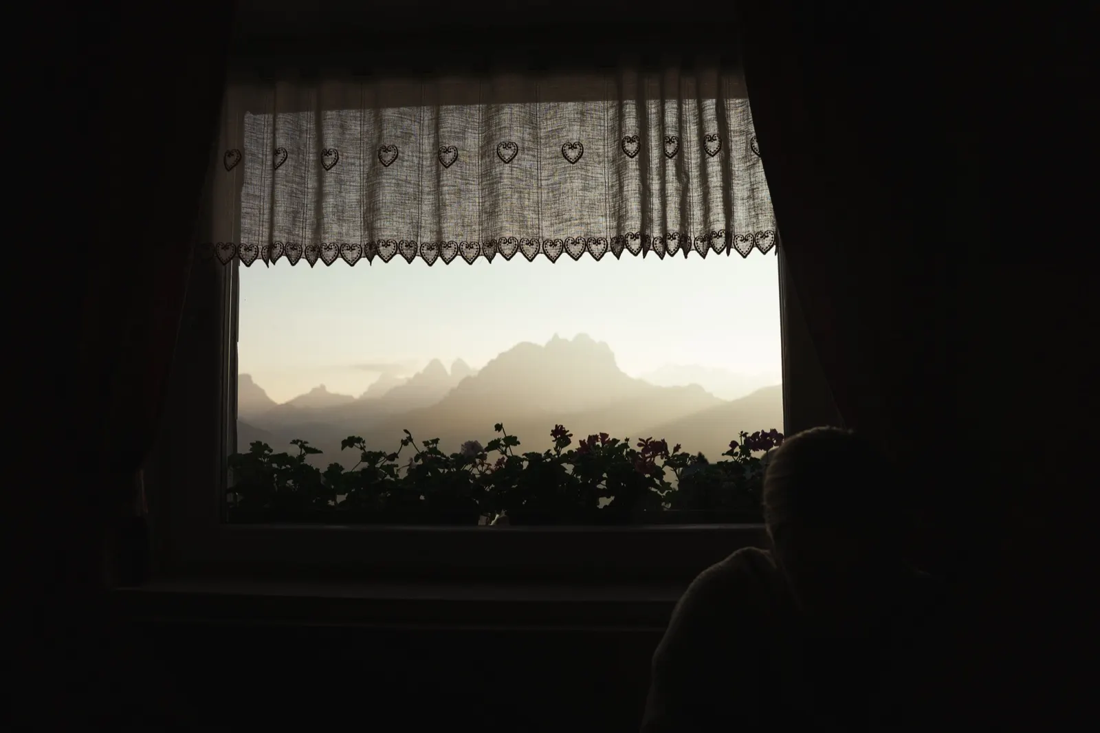
We’re woken by the first rays of sun coming through the tiny window in the room. I won’t lie, we slept in a bit. We had wanted to leave the hut before six, but we gave in to the vision of breakfast and lounging for an hour longer. We sit down at the table first and get the feeling that someone wants to make this trip pleasant and sweeten our lives. We have a choice of several kinds of jam, fresh bread, bundt cake and crackers. There’s also something to drink and cups of coffee.
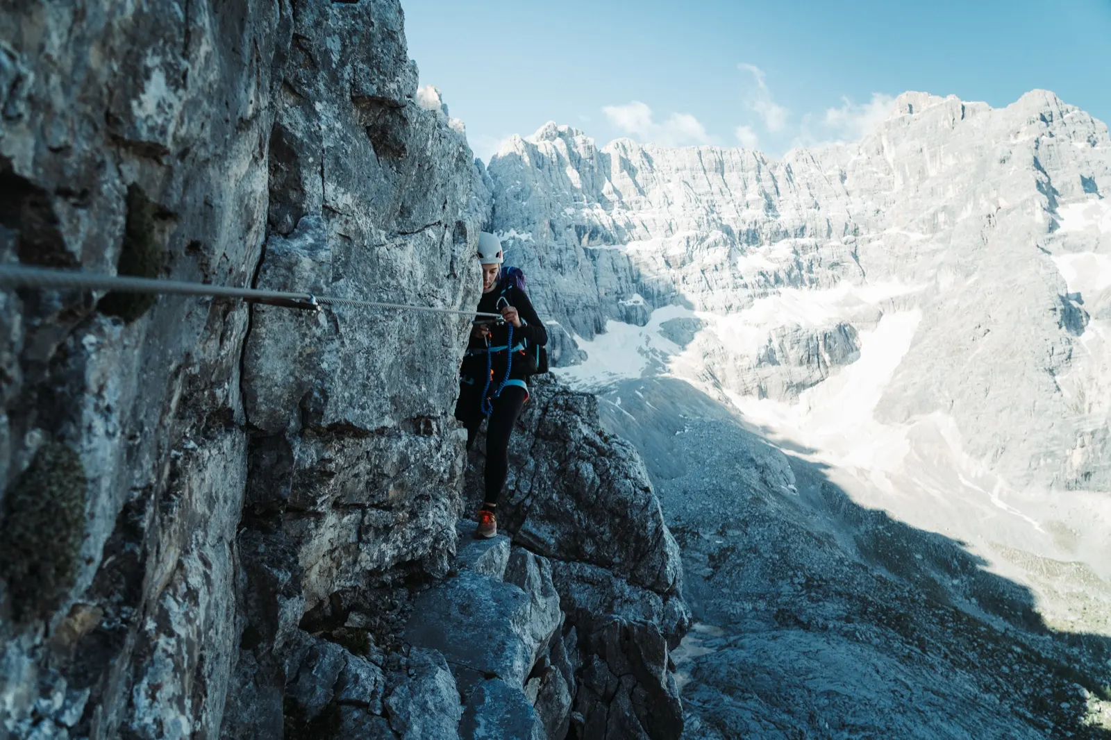
Fortified, we set off behind the hut to meet today’s adventure. First up is the Vandelli via ferrata, one of the well-known ferratas on the circuit around the lake. It’s about half an hour from the hut and you navigate by a marked path and later by stone cairns.
You start with several ladders where you try to gain about 200 metres of elevation, nothing complicated, and a loaded pack is no problem. The ladders are solid, the via ferrata has been freshly re-secured, nothing is loose, so we feel safe and enjoy the views on offer too.
Views as a reward
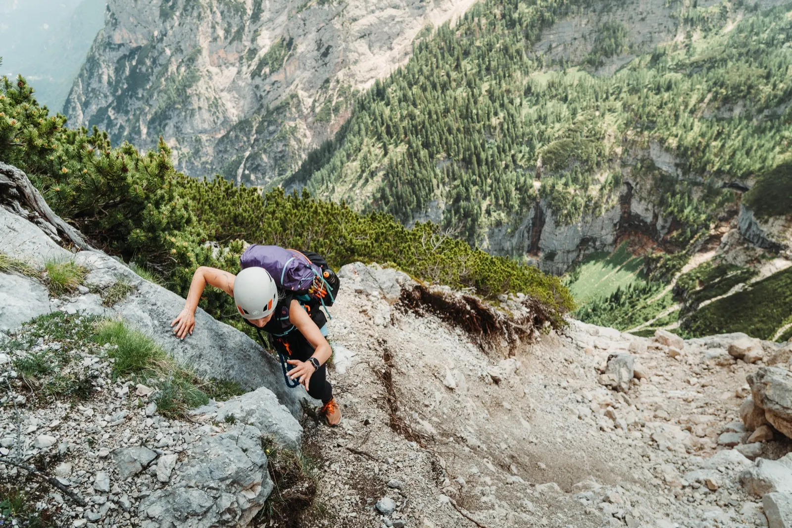
After reaching 2,300 metres the route turns into a secured path with a gentle climb. But secured only partially. In some passages you have to be very careful and concentrated and watch every step. On maps the via ferrata is rated difficulty D, but realistically I’d rate it around B+. I think whoever rated it added in the unsecured sections mentioned, where one step to the side can mean the end.
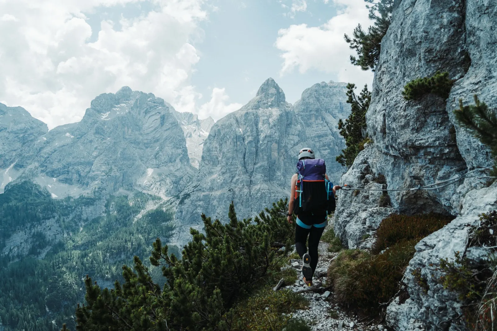
The individual chains are numbered, so you know roughly how much is left until the end. Keep in mind that towards the end their density drops, so progress is a bit slower. That didn’t bother us, though – we thoroughly enjoyed this airy route and drank our fill of views into the valley.
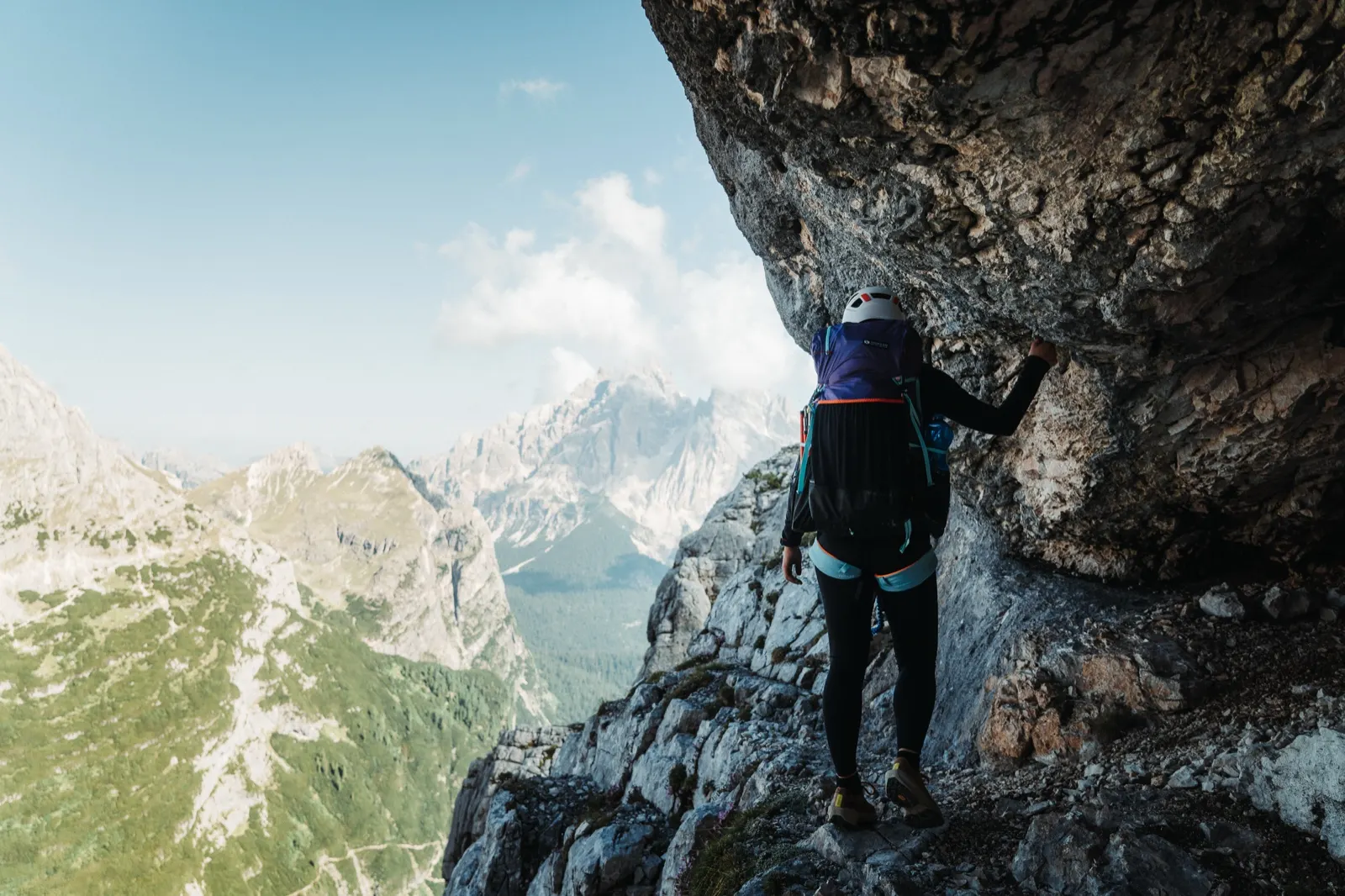
After two hours we find ourselves at the end of the via ferrata at about 2,400 m above sea level. From there we begin the descent to Bivacco Comici along a steep, stony path that is secured with ropes in places. If your via ferrata gear isn’t bothering you, definitely keep it on, you’ll need it again. The route splits in two here. One goes steeply down to the car park, but we choose the other, ours, which continues towards the Forcella Alta pass.
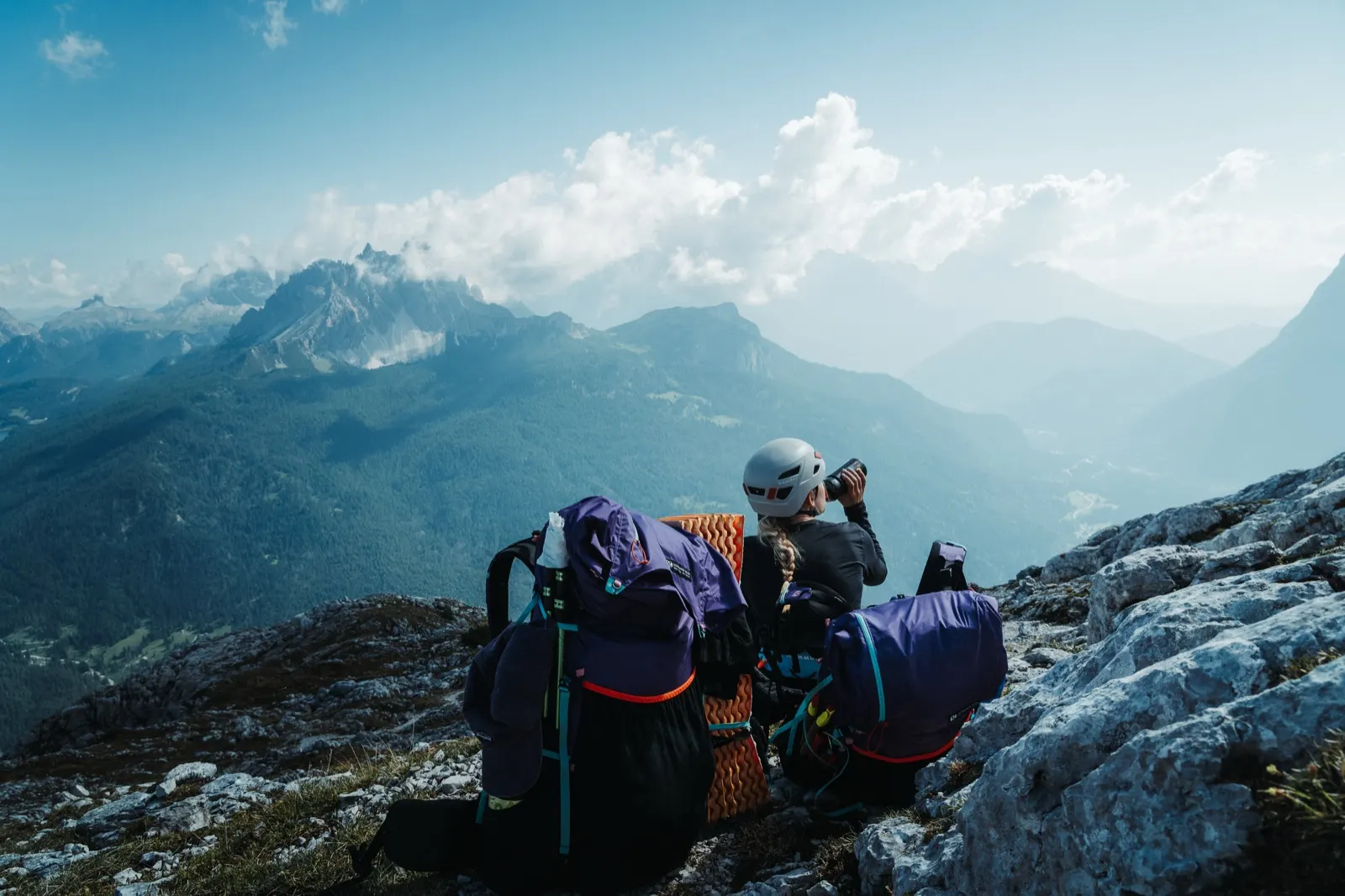
Halfway done, the harder half ahead
We sit down in the grass, refuel with a cold lunch and soak up the silence of the mountains for a while. The second half of the day awaits and we already suspect it will be a substantial one. The morning scenario repeats in this part too. There are fewer secured passages, but they are in good condition. Somewhat less comfortable are the sections without protection, where at least dwarf pine provides a bit of reassurance and the illusion of a “softer” landing. But it’s no fairy tale. The path is narrow, gravelly and in places badly damaged – a landslide had broken it up in about three places.
At first glance this stage looks undemanding, but appearances deceive. Even without major climbing or descending, frequent changes of terrain can wear you out properly. Meanwhile the view barely changes and the horizon in the distance, where we’re heading, stays just as far away.
A hut just in time
We’re finally here, Forcella Grande, the watch shows only half past one but it feels as if we’d been walking all day. Clouds slowly roll over the peaks, marmots scurry around us and we think of only one thing – rest. The last stretch remains, a little over a kilometre with 450 metres of descent. We don’t talk, we just descend silently and slowly, step by step.
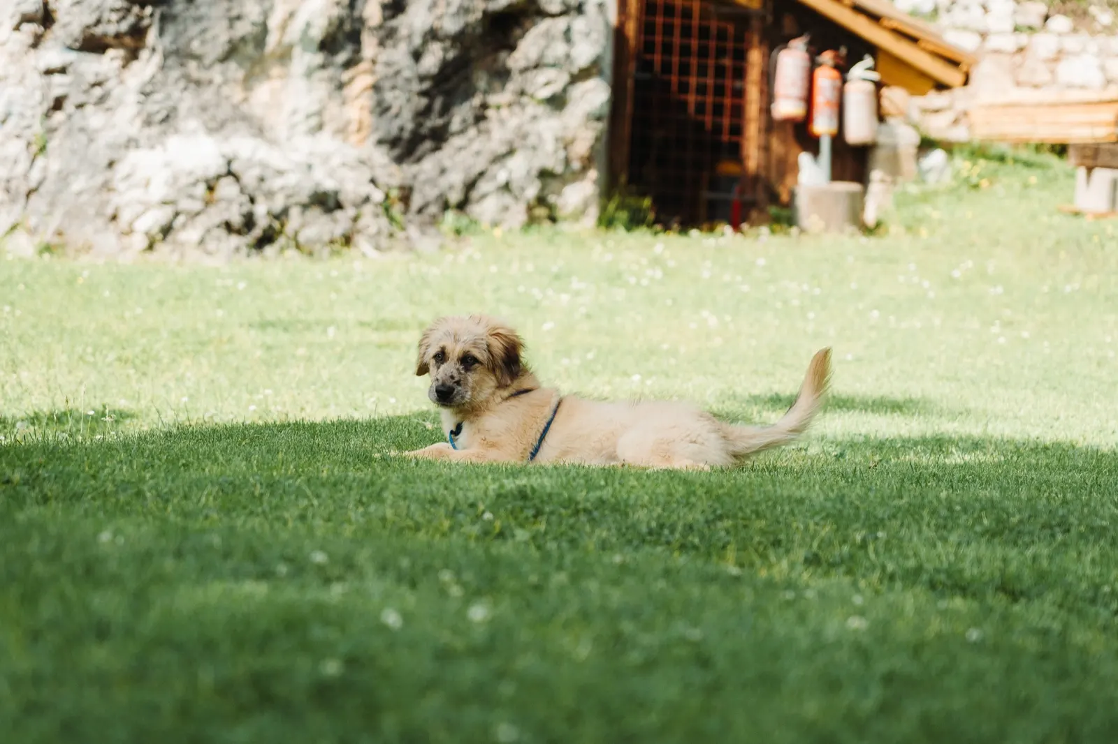
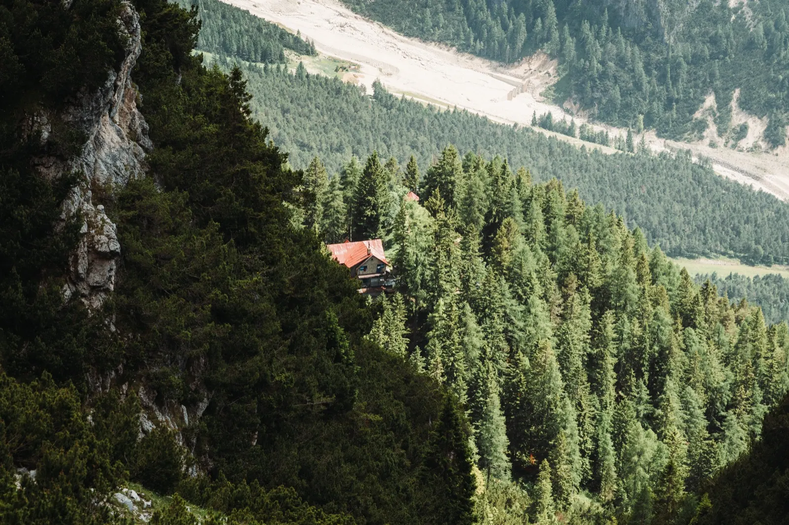
The sight of the hut is like redemption. We take off our shoes and collapse onto the soft, English-style lawn in the middle of the forest. That and two cans of Coca-Cola, we needed nothing more at that moment. After a while a little dog runs out of the hut, followed by two children. It looks like they’re spending the summer at the mountain hut with their mum. Quietly I envy them a little.
We’ve already hit the wall for today. According to the radar a storm is approaching and we start planning what next. The thought of ending the route early keeps running through our heads. Tomorrow we still have one more demanding pass with a via ferrata and a long descent. The prospect of civilisation is within reach, though – from this hut it would be only three hours’ walk down to the valley.
A side dish to the main course
In the end we don’t give up. We call a hut that’s still an hour and a half of climbing away. They officially open only tomorrow, but from the other end comes a friendly voice with a strong Italian accent. We can come, they’ll find something for us. We have one sandwich to fortify ourselves, take our packs and set off along the path beneath Monte Antelao.
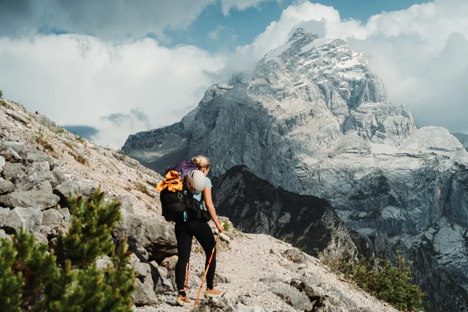
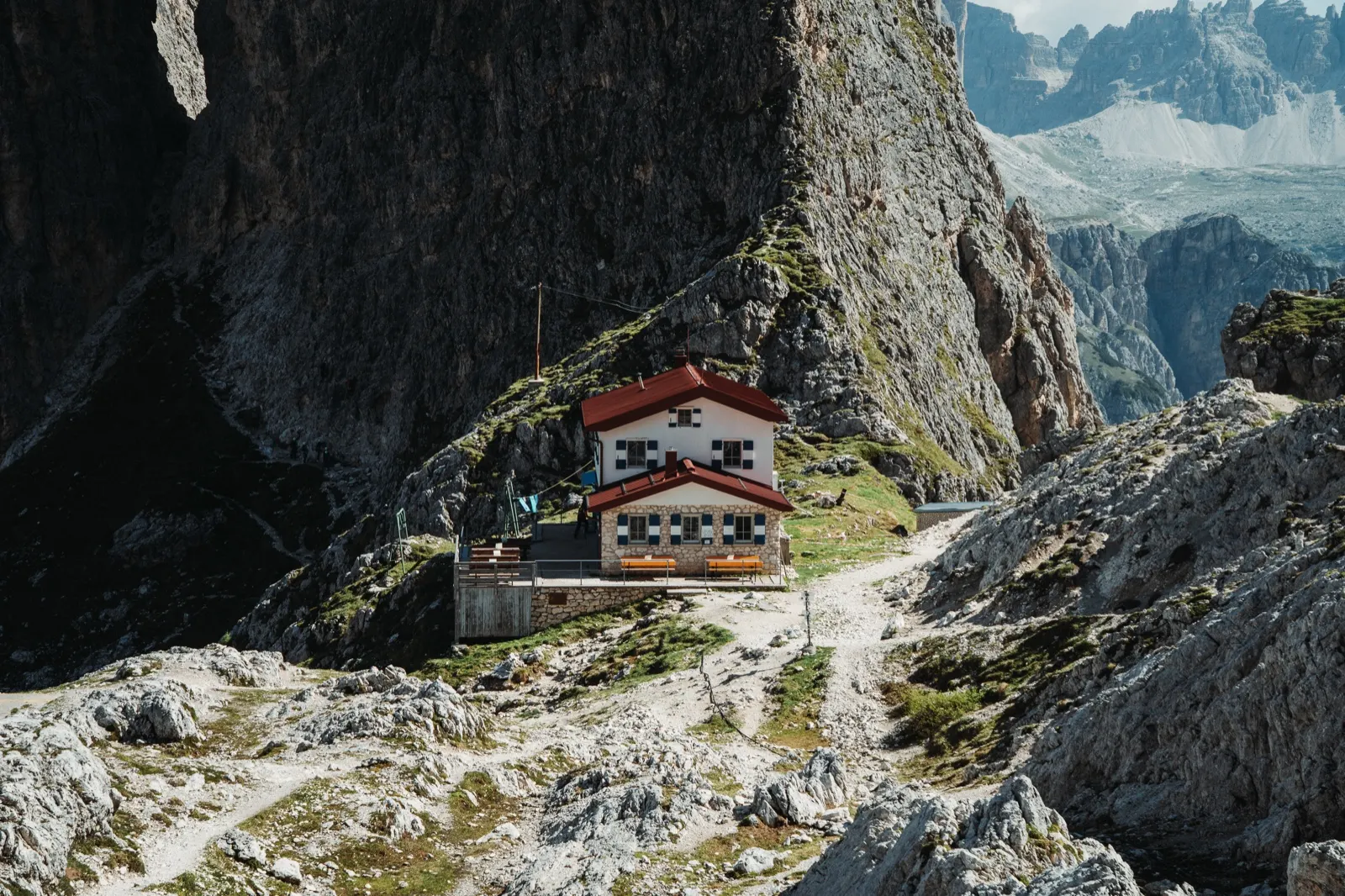
Rifugio Galassi, which we reach shortly after 18:00, lies directly beneath this three-thousander – the second-highest peak of the Dolomites. It is often the starting point for mountaineers, but today it gives shelter to us and one more hiker from Brazil.
For dinner we cook our last dehydrated meal and wash it down with a can of Fanta. Tired, we sit in silence and watch the fog flow over the surrounding peaks.
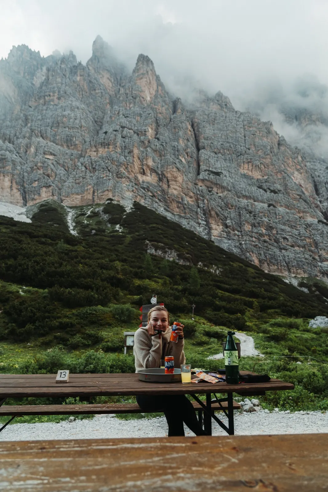
The hut apparently has a shelter room outside the season, but we don’t look into it. We’ve ruled out the tent for tonight. It could probably be pitched on the saddle above the hut, but we want a good sleep before tomorrow, and a storm is forecast for the night as well. And when you add the hot shower that awaited us here… what more could you wish for?
Day 4 – Antelao via ferrata, the glacier and Pieve di Cadore
Around the glacier to the finish
The radar was right. It rained in the night, so the morning sun’s rays were replaced by the white milk of thick fog. We hurriedly cook oatmeal and get moving. We leave the fog behind only a little above the hut, where for the first time we breathe in a clear morning and at last can see at least the outlines of the hills awaiting us today.
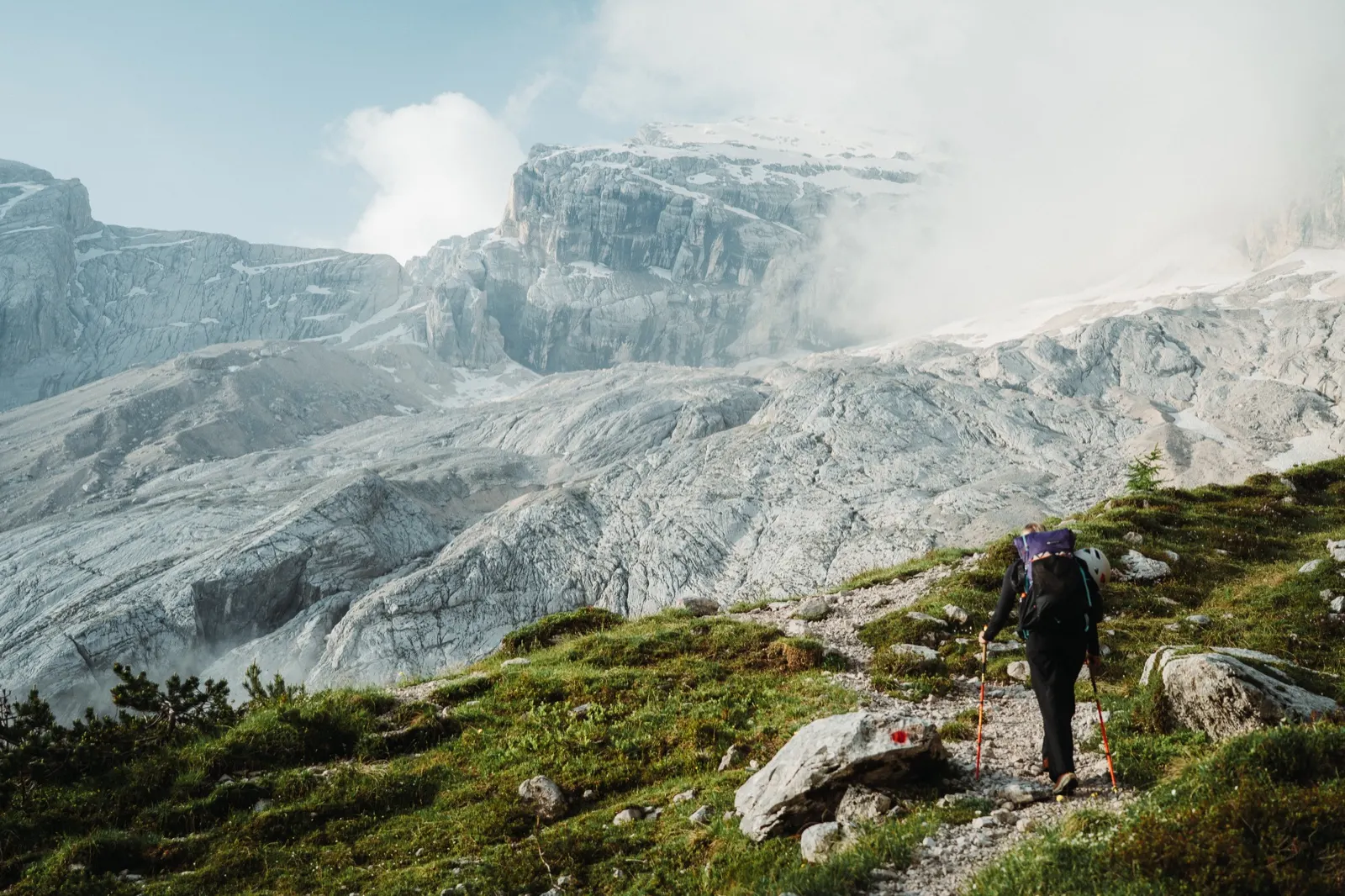
The approach to the via ferrata and the climb itself take us about an hour – 2 kilometres and 560 metres of elevation. The final metres go almost straight up, like climbing a sloping stone roof, where we hold on to steel cables and wet rock. Here and there a snowfield crosses our path, but nothing complicated. The via ferrata is in excellent condition and – unlike the previous sections – is protected along its whole length.
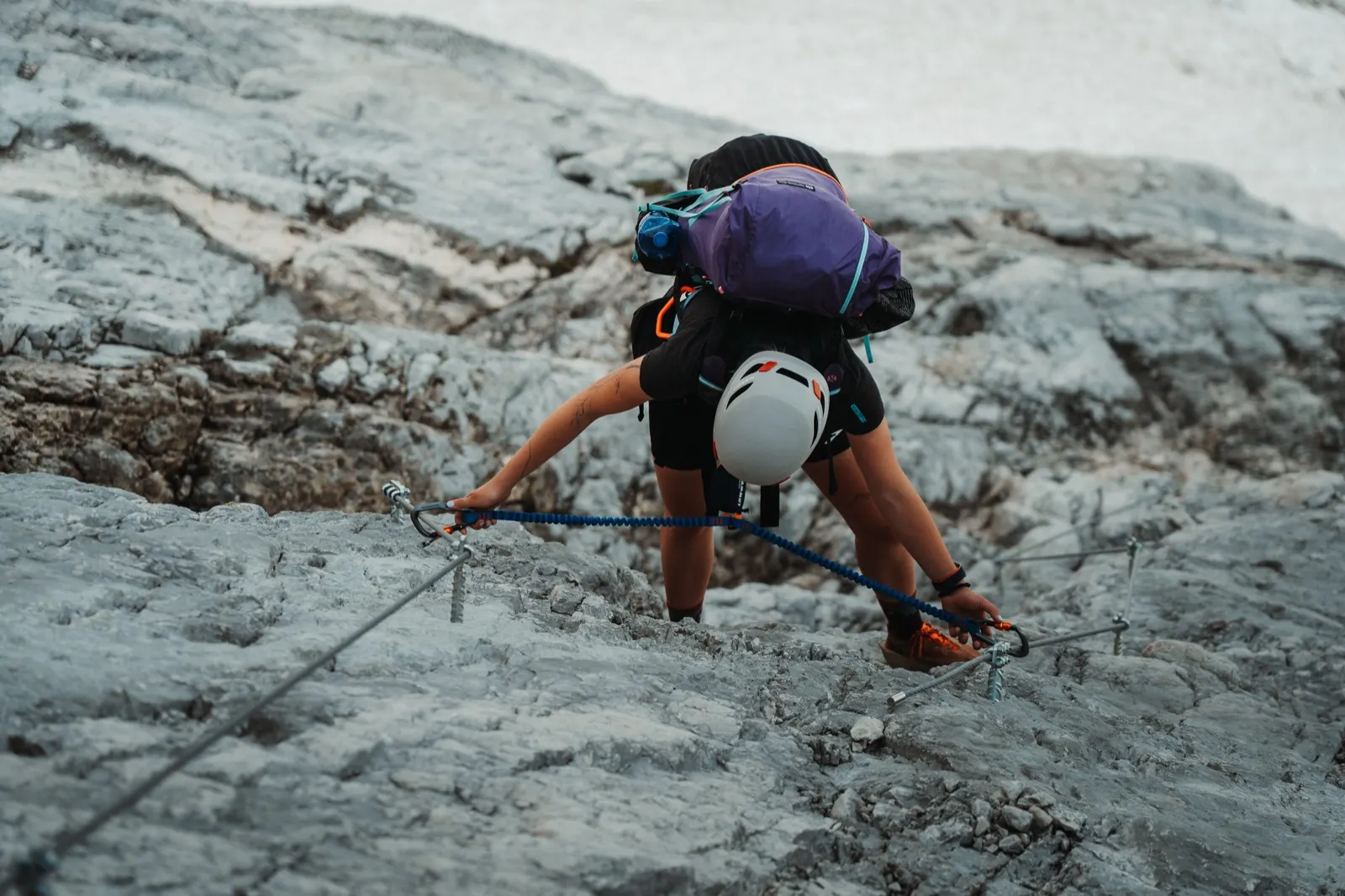
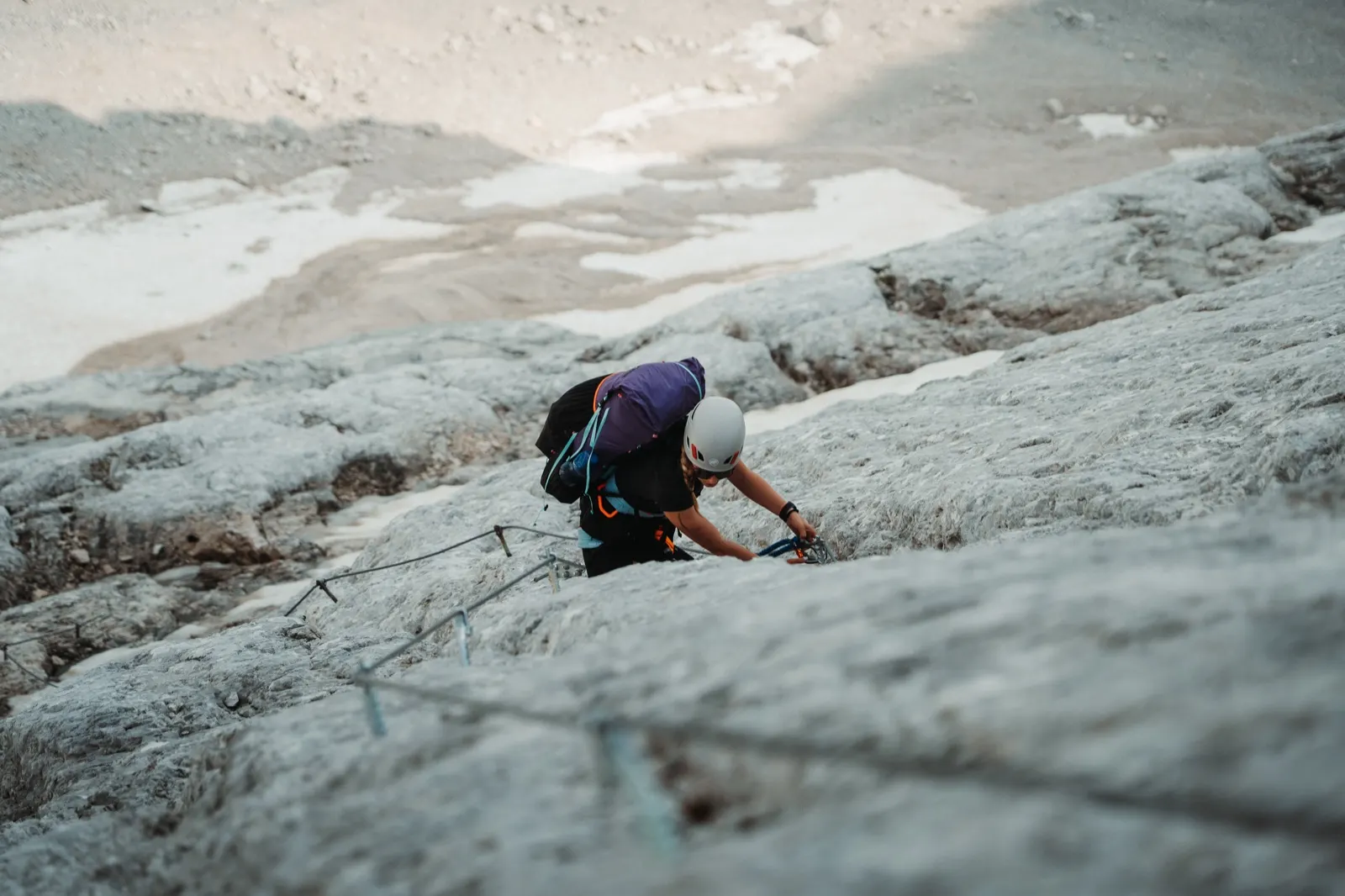
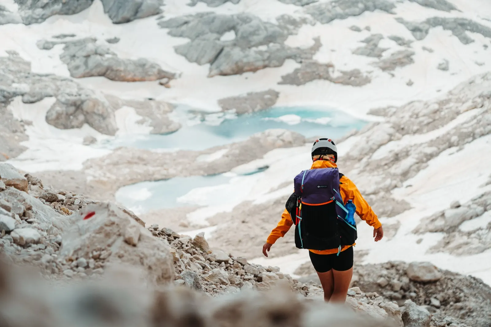
At the top a well-deserved reward awaits – a view of the Ghiacciaio Superiore dell’Antelao glacier and the magically blue lakes formed from its melting ice. Today, though, drifting fog spoils the views, so after a short pause we continue on our way.
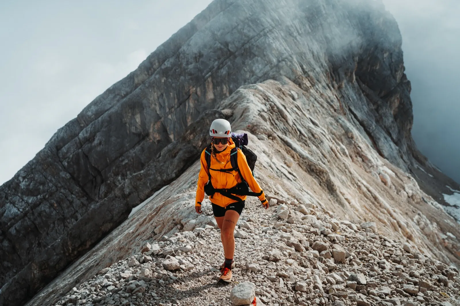
Only 2,000 metres of descent left
Beyond the glacial lakes we keep our via ferrata set on for a few more sections, but an hour after the summit only a steep forest path awaits us. With the help of poles we try to ease the strain on our knees, and shortly after eleven we reach Rifugio Antelao. We have a quick coffee, a sweet pastry and check the route one last time.
We’re almost at the finish, but the last stretch to Pieve di Cadore still awaits. We quicken our pace to catch the bus. The path is well kept and walking on it is a joy. At last we can afford to slow down and take in our surroundings. Shortly before the finish the route turns into a quiet forest and at last we have space in our heads too. We replay everything we’ve lived through in recent days, which sections tested us, what surprised us and what we might do differently next time.
We reach the finish almost to the second – tired but happy. We bought the tickets in advance during the descent and now we simply ride. With a short stop in Cortina we return to the car in San Candido at six in the evening.
Alta Via 4 FAQ
How many days does Alta Via 4 take?
We did it in 4 days (18–21 June 2025). According to our watch recording it was 90.9 km and +5,621 metres of elevation gain, including the detour to the Torre di Toblin via ferrata. It is a linear route from point A to point B.
How difficult is Alta Via 4?
Physical difficulty is 5/5 and technical difficulty 4/5. The route leads through rocky terrain with exposed passages and much of the path is unsecured – where the path ends, a steep slope begins. The difficulty depends heavily on style: with a light pack and nights in huts it is more comfortable; with a tent, stove and supplies both the physical and the logistical load rise significantly.
Do I need a via ferrata set and a helmet?
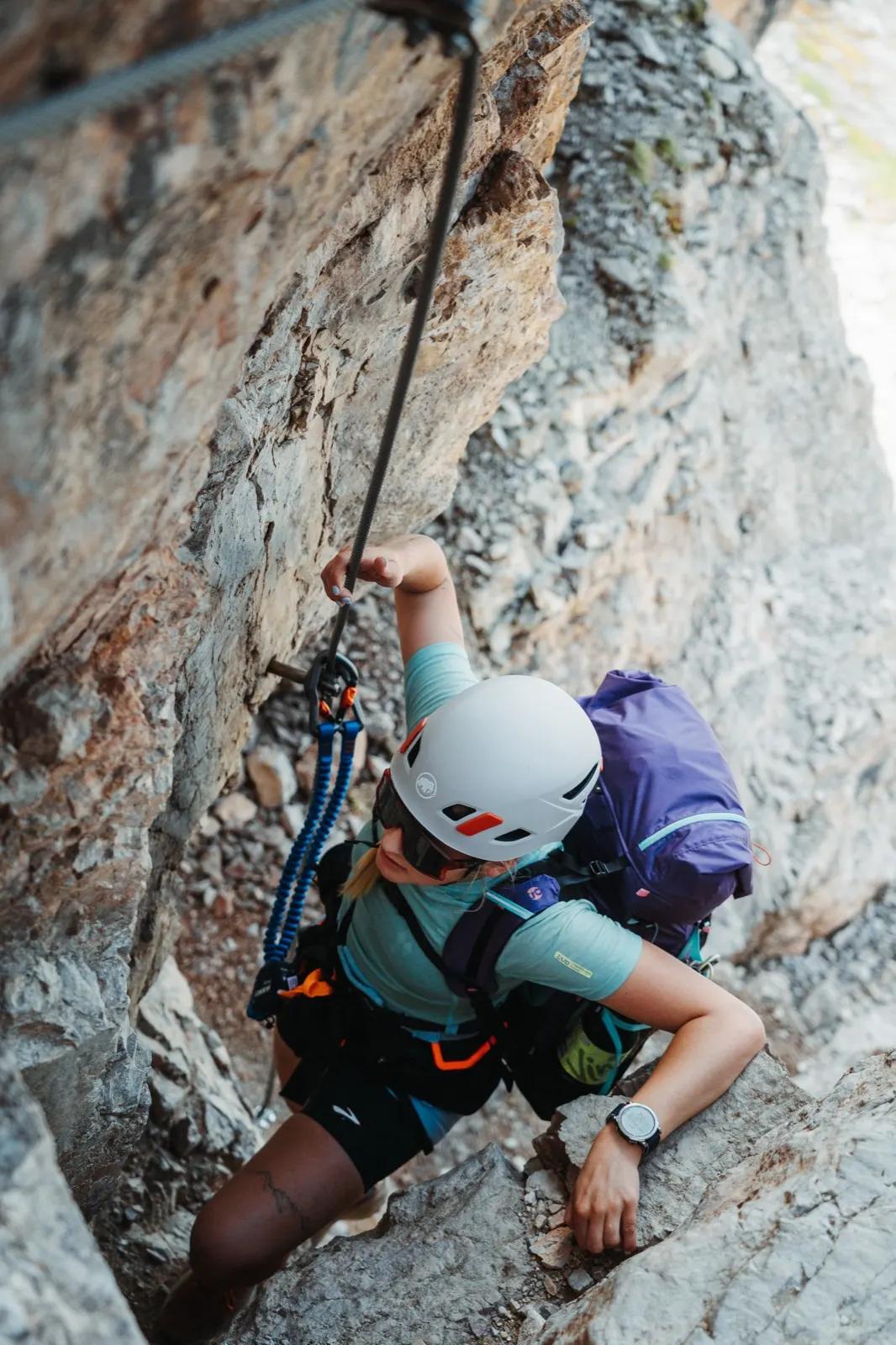
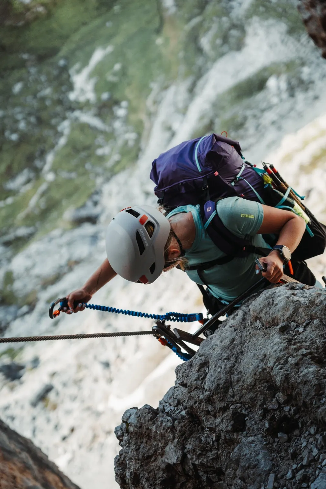
Yes, a via ferrata set is a must on this route, and a helmet is useful for falling stones as well. The Vandelli via ferrata is rated D on maps; we rated it closer to B+, but it has unsecured sections where every step needs concentration. The Antelao via ferrata on the last day is protected along its whole length. The Torre di Toblin via ferrata (sections C and B) was an extra detour for us. Before the trip we had only minimal experience (crags, an indoor wall), so try via ferratas beforehand.
Where does Alta Via 4 start and end, and how do you get back?
It starts in San Candido and ends in Pieve di Cadore. By car you can park in San Candido (Parcheggio Ovest). We returned by bus from Pieve di Cadore via Cortina to San Candido, and bought the tickets in advance during the descent.
When is the best time for Alta Via 4?
From late June to September. Early in the season huts can be closed or under renovation (Rifugio Locatelli) and some officially open later. In June we also met a snowfield below the Forcella del Nevaio pass, where crampons and an ice axe would have been useful.
Where to sleep, and do you need to book?
The first night we slept in a tent below the Tre Cime, the second in Rifugio Vandelli and the third in Rifugio Galassi. Huts cost around €30–40 per person, with a possible 20% discount for alpine club members. In season, book ahead; out of season it was enough to message them on WhatsApp the day before. A good tent spot is hard to find, especially when you are completely exhausted after the day.
Where can you refill water?
There is no drinking water at Rifugio Vandelli, so we bought 5 litres for cooking that evening and all of the next day. According to the information along the route there is no spring on day three, so you need water for roughly 9–12 hours. We refilled with fresh water at the Malga Langalm hut.
Is the route well marked?
Waymarking of Alta Via 4 itself is poor (red triangles with the lettering AV4, which we saw only a few times). The individual sections the route links, however, are very well marked with red-and-white stripes. A map or GPX is essential.
What should I pack?
A via ferrata set, helmet and trail shoes; early in the season crampons and an ice axe would be useful when there is snow, and poles for the descents. If you sleep outside, a tent, sleeping bag and stove. We ate the classics: tuna, tortillas and dehydrated meals. The gear from this trip is listed below the article.
Route map
The whole route on mapy.cz.