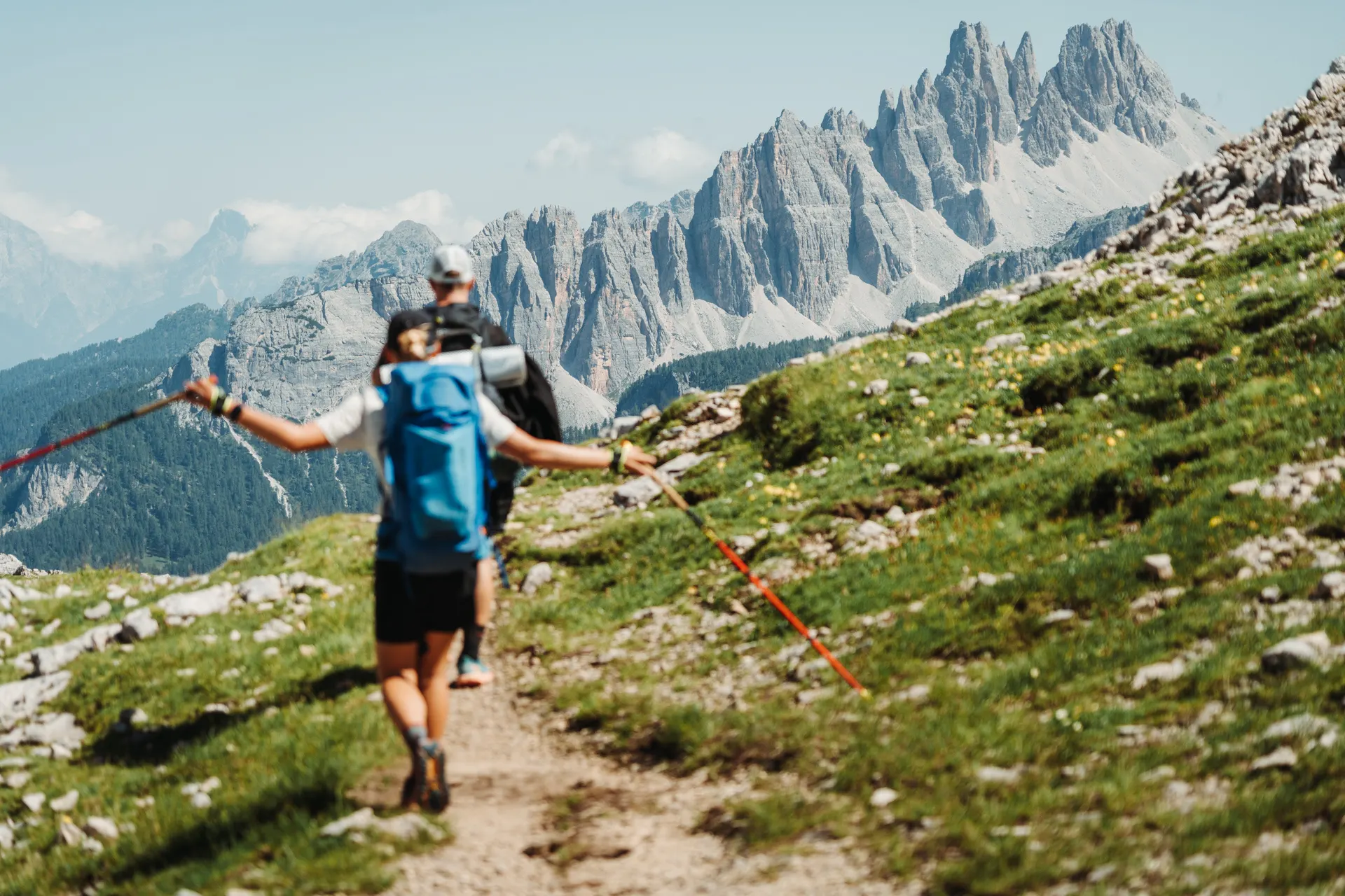
Alta Via 1 – with a backpack through the heart of the Dolomites
- Trail
- Alta Via 1
- Country
- Italy
- Distance
- 129.3 km
- Ascent
- +7,172 m
- Duration
- 6 days
- Season
- July – September
You probably know how it goes – you’re planning a summer trip with friends and your biggest problem is logistics and how to squeeze that many people into so few cars. Add another car? Rent a van? Fly? Gradual changes to the lineup solve that problem anyway. We’ve been there too. The plan was clear: Tour du Mont Blanc, 12 days, 8 people and one van.
It’s shortly after midnight, we’ve just crossed the Austrian border and are heading for Graz. We’re sitting in a Fabia, there are three of us, and we’re bound for Toblach, where we want to set off on the Alta Via 1 trek. If videos from aspiring influencers about how beautiful and wonderfully easy this route is have started popping up on your social media, you’ve probably fallen down the same rabbit hole as I did.
If not and you have no idea what I’m talking about, that’s fine. It’s one of the most popular high-mountain routes in Italy, about 130 kilometres long, running through a gorgeous part of the Dolomites from north to south. If you’re looking for a trek where you can enjoy the mountains without via ferrata gear, this route is ideal for you.
Stages at a glance
Our six days on the route according to the watch recording (29 July – 3 August 2024). Day one includes a few extra kilometres.
| Day | Route | Distance | Ascent | Moving time |
|---|---|---|---|---|
| 1 | Villabassa → Lago di Braies → Rifugio Pederü | 25.6 km | +1,371 m | 6 h 27 min |
| 2 | Rifugio Pederü → Forcella de Lago → Cinque Torri | 26.3 km | +1,984 m | 6 h 59 min |
| 3 | Cinque Torri → Passo Staulanza → Rifugio Adolfo (Coldai) | 24.1 km | +1,246 m | 6 h 9 min |
| 4 | Rifugio Adolfo → Rifugio Carestiato | 18.8 km | +903 m | 4 h 49 min |
| 5 | Rifugio Carestiato → Passo Duran → Pian de Fontana | 21.3 km | +1,279 m | 5 h 57 min |
| 6 | Pian de Fontana → La Pissa | 13.2 km | +389 m | 3 h 9 min |
| Total | 129.3 km | +7,172 m | 33 h 29 min |
Day one – The water’s running, but it isn’t drinkable!
It’s shortly after seven in the morning and we’re parking at the railway station in Villabassa, just outside the well-known Toblach. Parking here is free and most people who reach the start of the route by car use it. I do recommend arriving early in the morning, though, because the car park is often filled by tourists heading to Lago di Braies. This very spot is the official start of our trek. You can get here by bus too (line 442). But be careful: if you haven’t bought a ticket in advance, the driver may not let you on, which we found out first-hand.
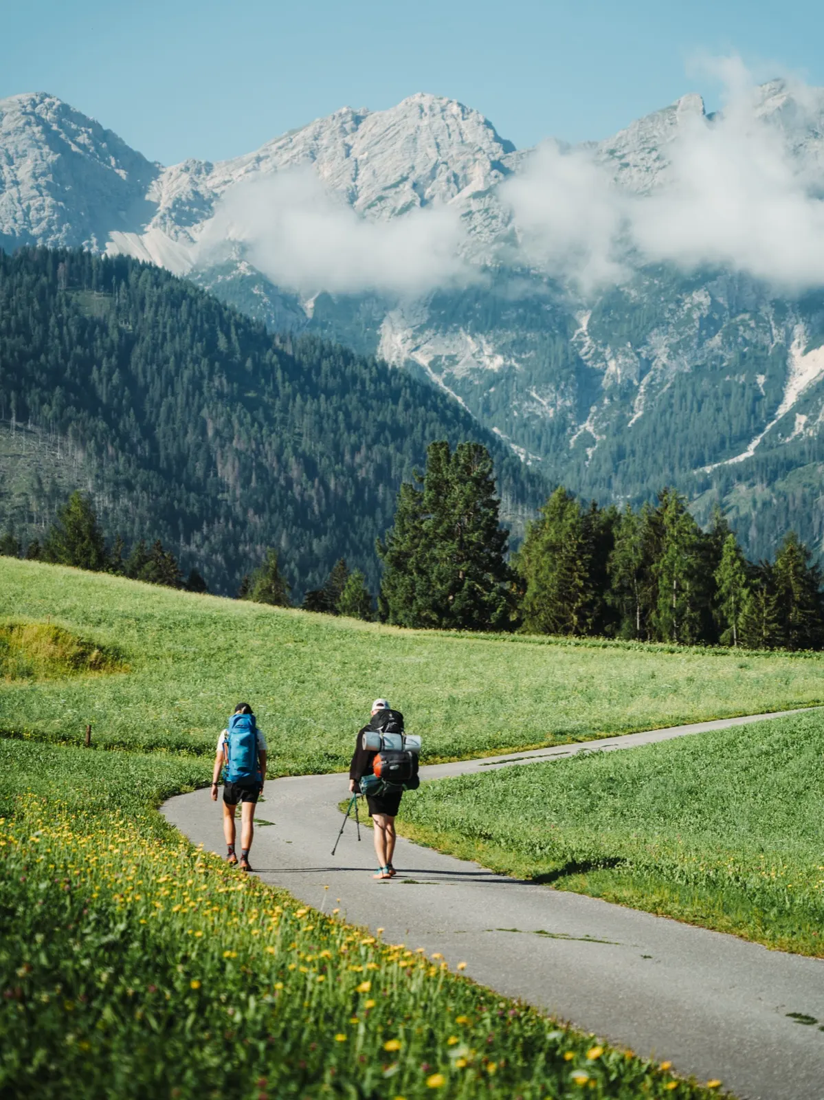
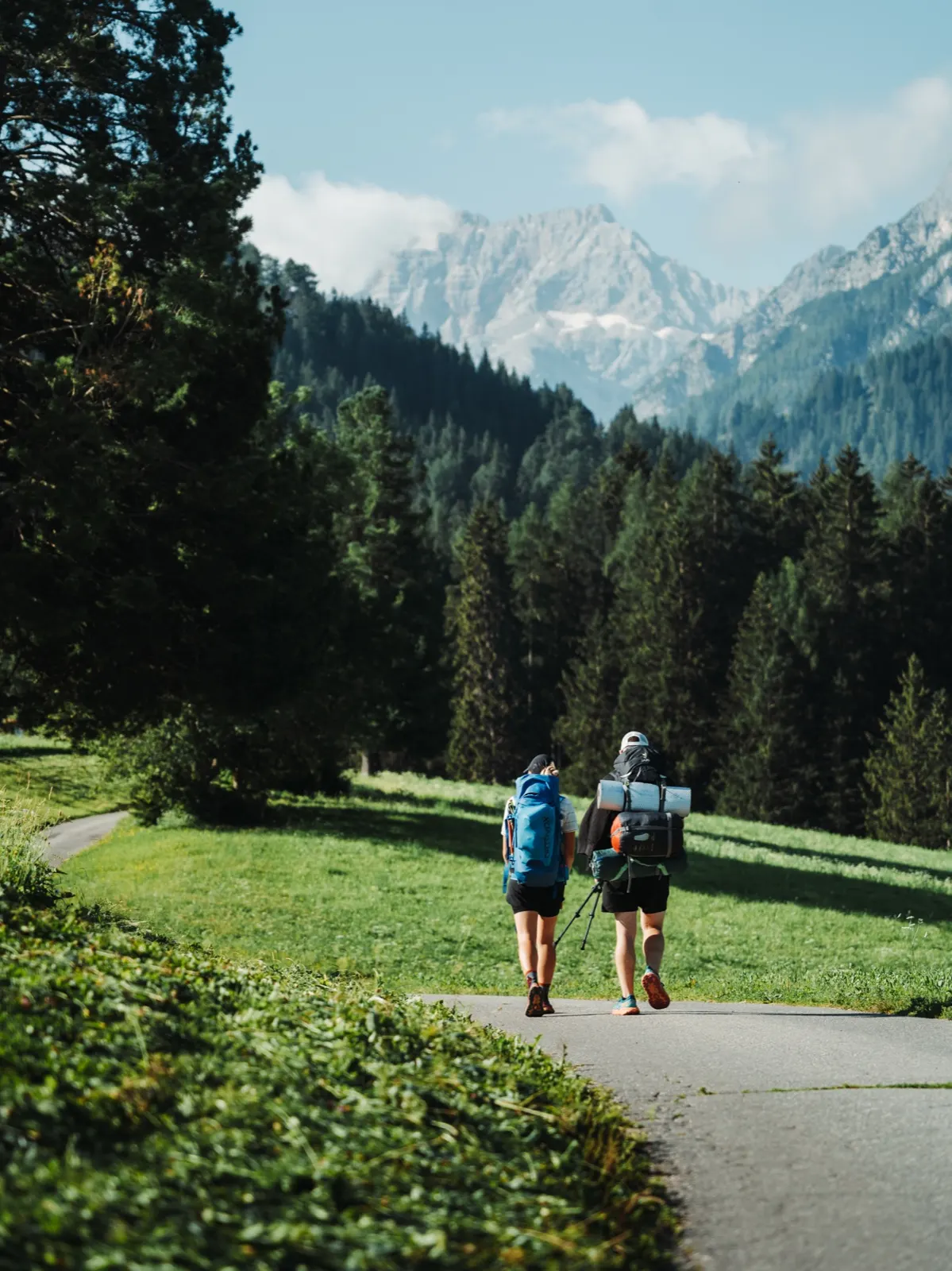
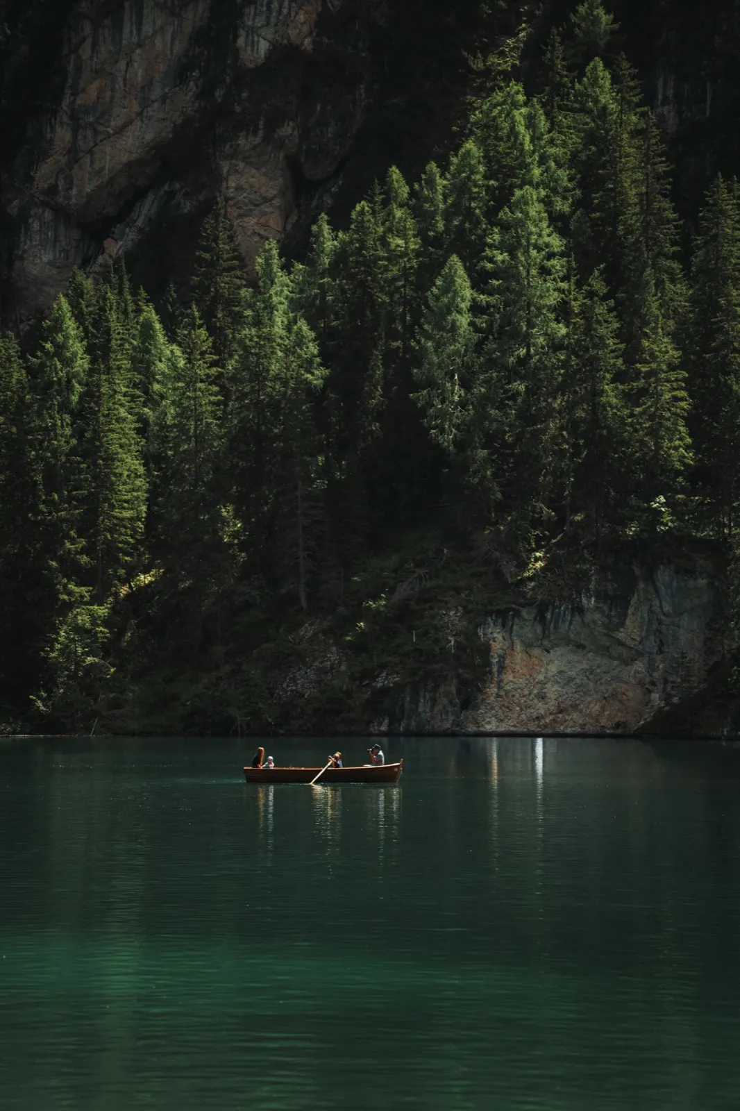
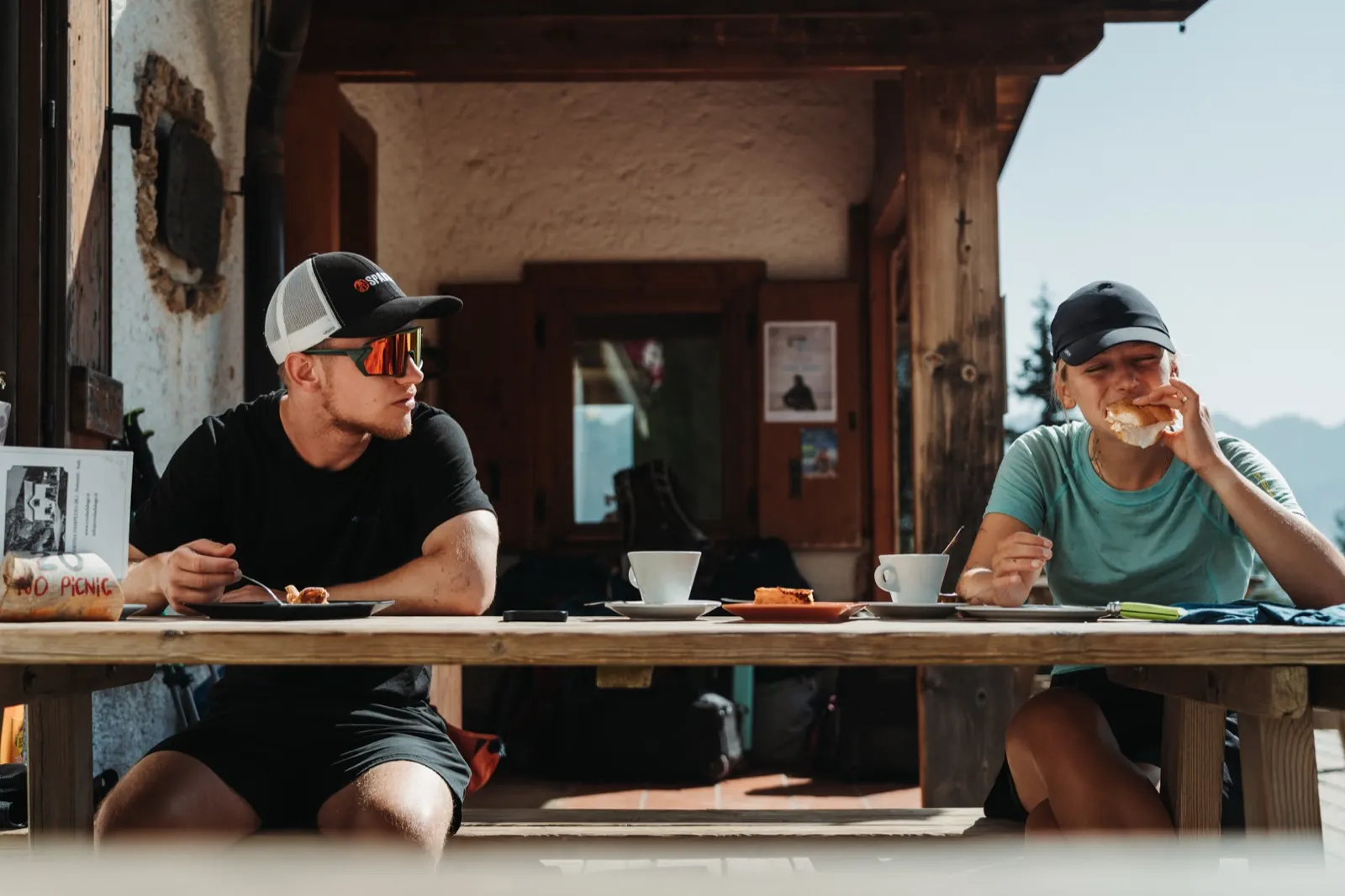
The morning warm-up of a few extra kilometres is thus an unplanned bonus. Coffee and a view of a stunning lake ringed by a rocky massif make up for it. After just three hours it’s clear that Italian coffee in the morning will be the motivation to climb out of a warm sleeping bag. After all, who would turn down an espresso for a euro. Swarms of tourists in little boats with small daypacks don’t let us linger long, so we walk around the glittering lake and set off on the first big climb.
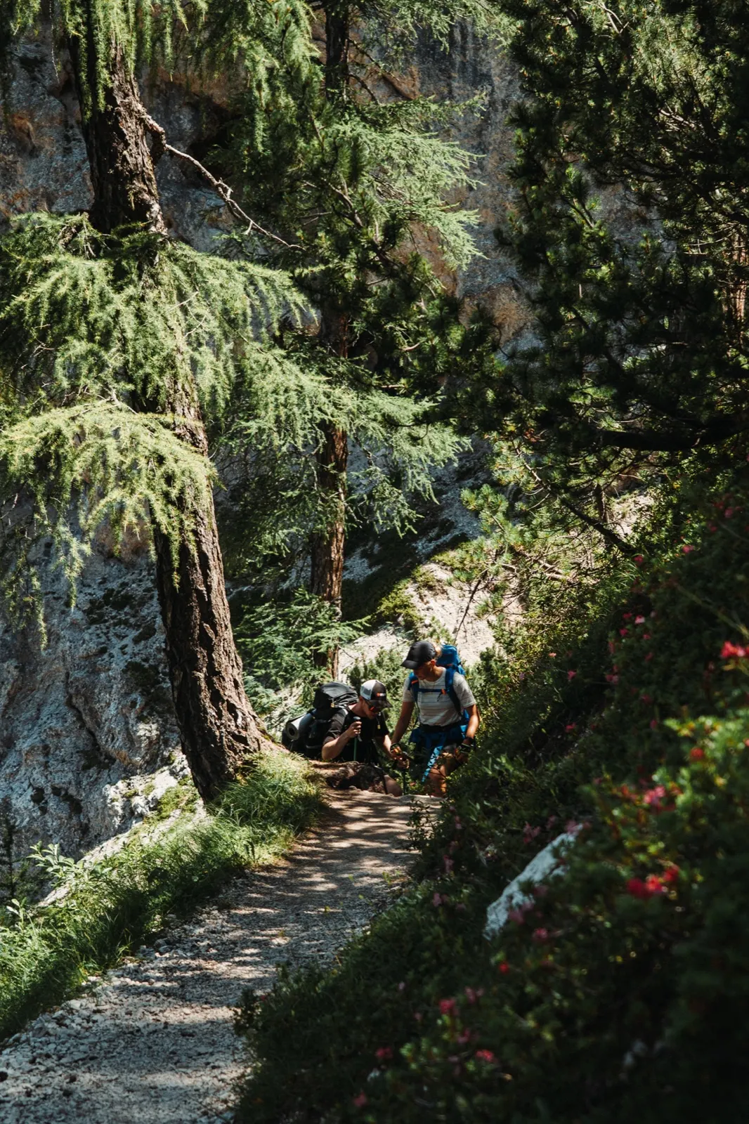
The heat and the sun-warmed limestone drag decilitres of water out of us with every step, so when we finally reach the hut we plan to refill our water bladders. A sign saying “no drinking water” confirms that whenever there’s a chance, it’s better to fill up completely. Instead of water, we’re saved by iced tea and panoramas that promise magnificent views in the days ahead.
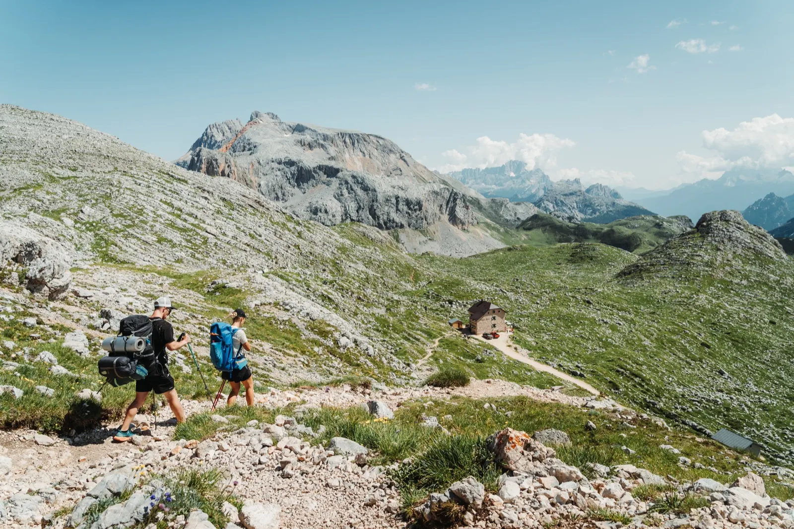
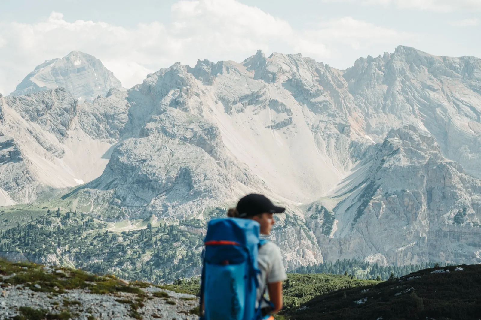
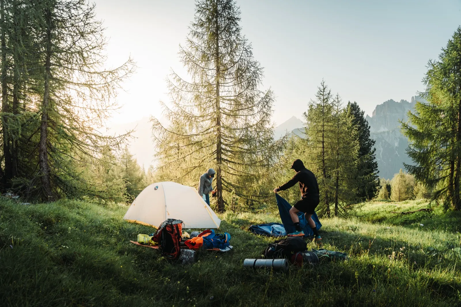
Fatigue, hunger and the remaining metres of ascent give us a clear signal to rethink our plans. We wanted to camp by the Lé Vert lakes. Instead we end the day at Rifugio Pederü, where we cook dinner on the stove and enjoy the last rays of sun. We spend the first night in the tent by a stream, just behind the hut. It seems we picked a really good spot. Shortly after us, two young German hikers pitch their tent here too, and we keep overtaking each other on the trail later on.
If you don’t want to book huts a year ahead and plan the trip down to the exact day, your only alternative is a tent, a tarp or a night under the open sky. Officially, wild camping is illegal but tolerated. It’s important to follow a few rules, though: pitch your tent only after sunset and out of sight, pack up as early as possible in the morning and leave the place clean.
Day two – How cows and chips drove us on
Alarm at six in the morning. One by one we pack the sleeping bag, mats and tent. A quick breakfast – we manage all of it within an hour and set off. The SNP Trail trains you, and routines like these aren’t easily forgotten. Right at the start we’re met by the climb we gladly skipped yesterday. Motivation is high again, though, driven on by the cappuccino waiting up at the hut… and maybe a little by the herd of grazing cows ☺ that you’ll meet here by the dozen.
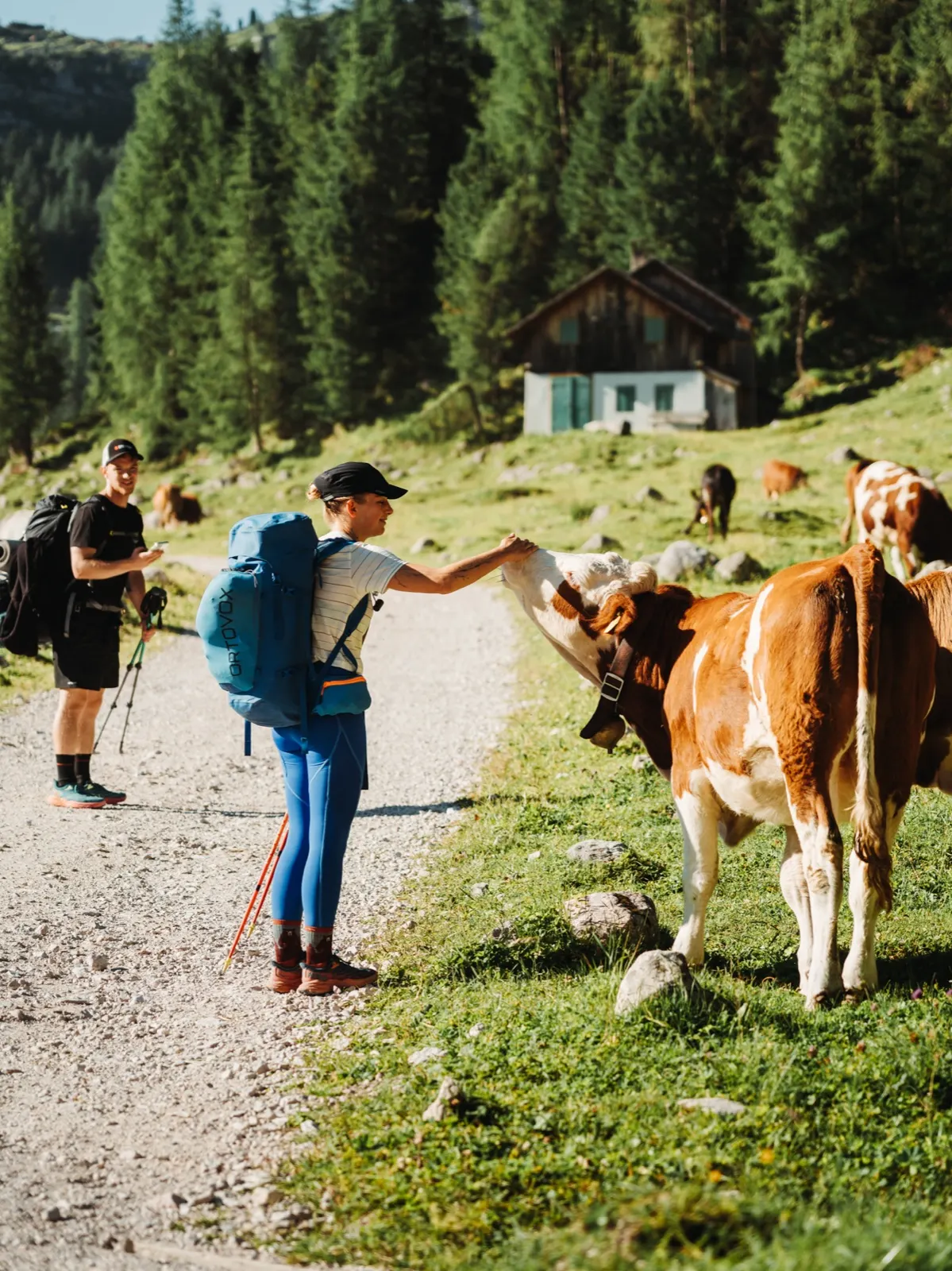
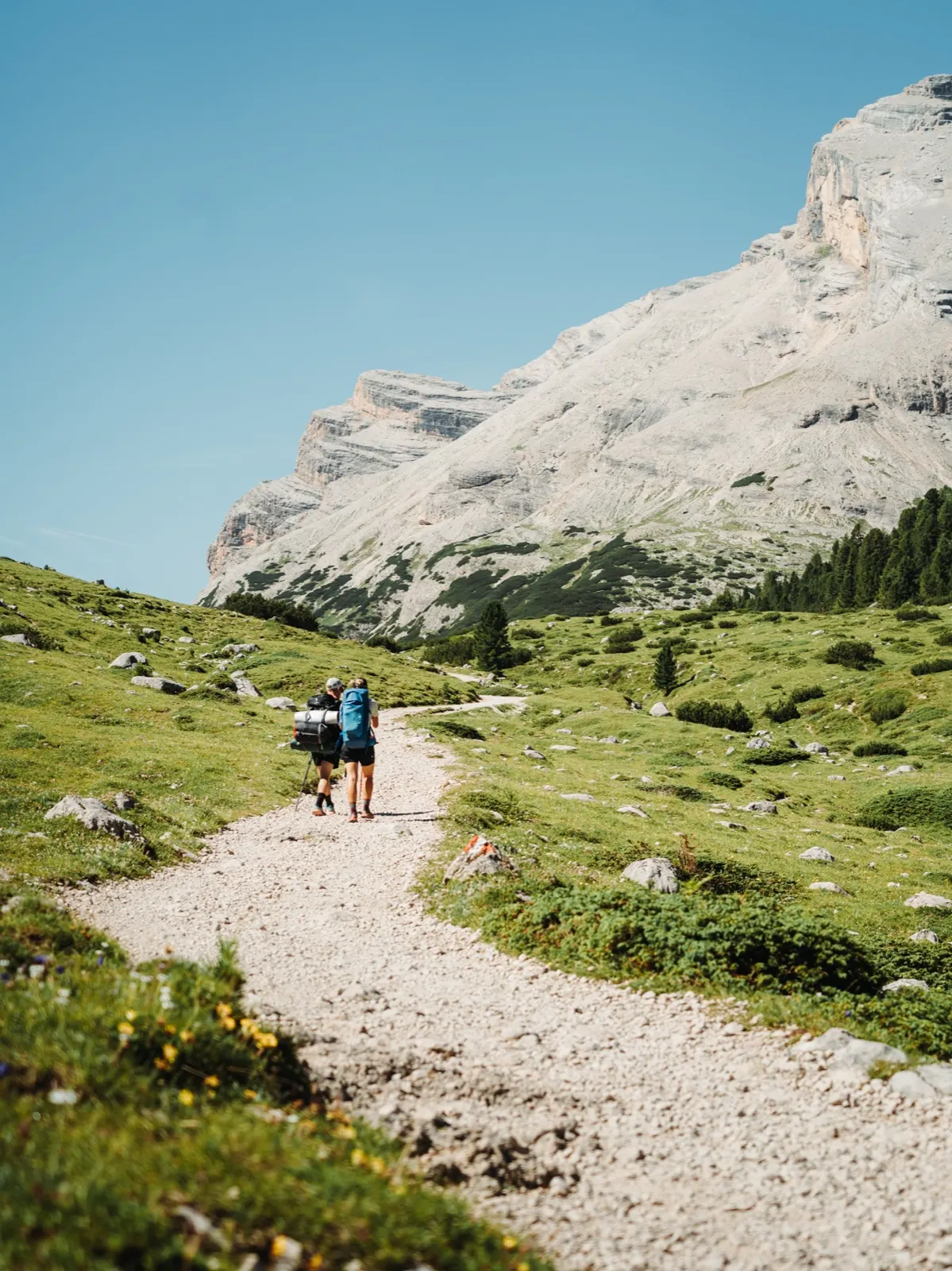
Fortified by this miracle drink we pick up the pace. We need to make up for yesterday’s slip, and ahead of us lie 26 kilometres with almost 2,000 metres of elevation gain. Paradoxically, it’s the descent from the Forcella di Lago saddle that is hardest on our knees, where you lose 300 metres of altitude in a single kilometre. As a reward you can cool off in an icy lake. We can’t resist that offer either, but before long we’re climbing again, to the highest point of the entire route.
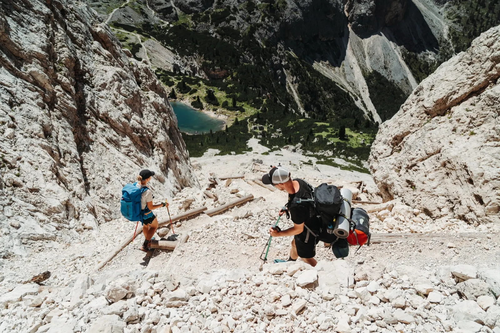
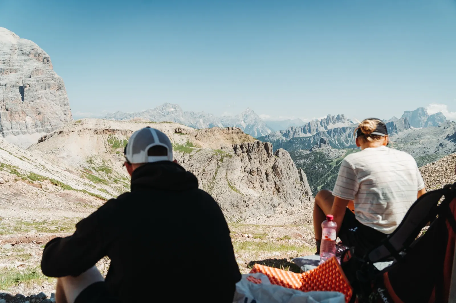
At the top we unroll a sleeping mat and treat ourselves to a lunch break with a view. We pull out our proven classic, a can of tuna with a tortilla. Tortillas are the foundation of all our treks – they’re handy, stay fresh for a long time and can be eaten in all sorts of combinations. With new energy, walking is much easier.
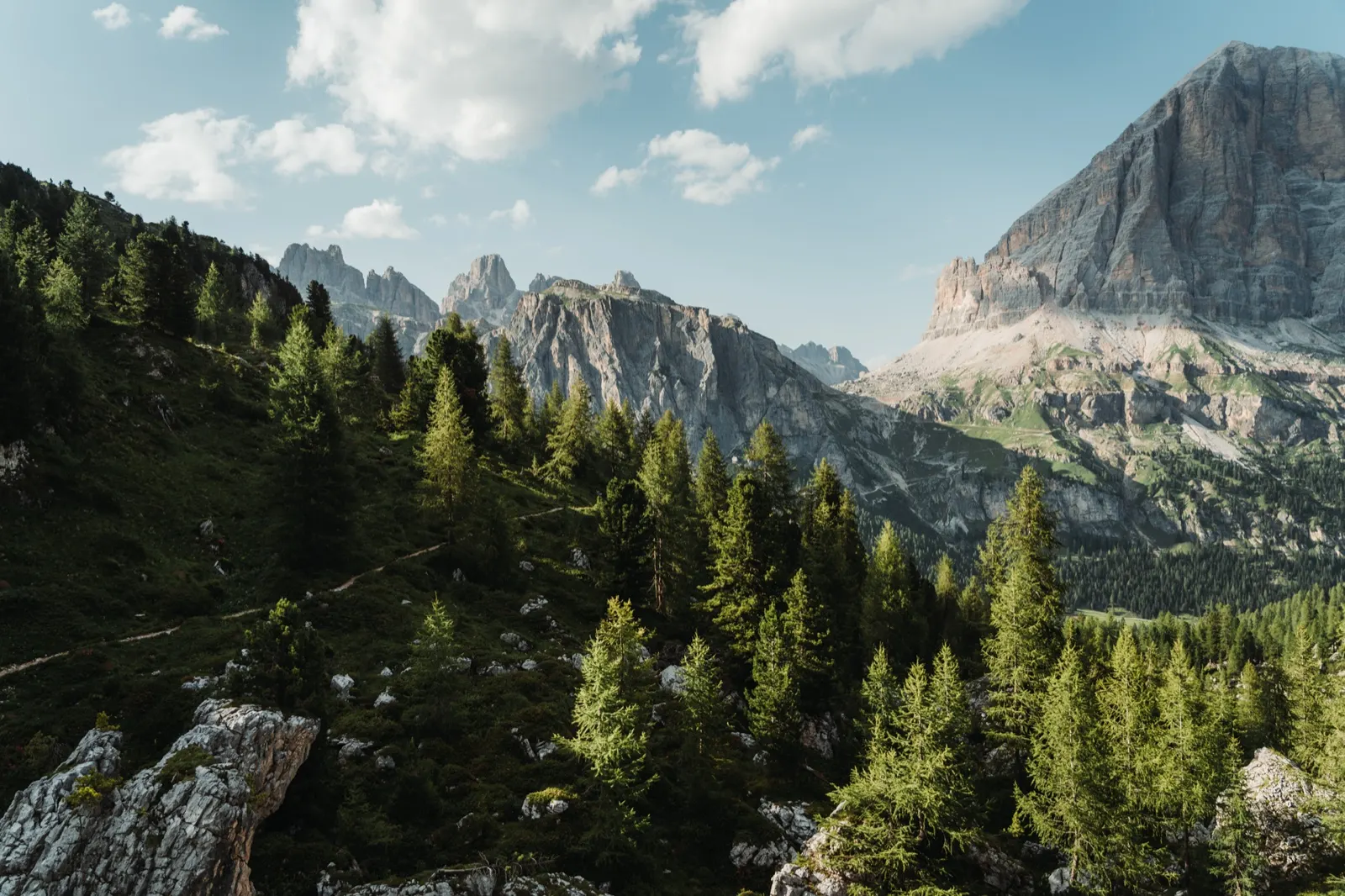
The highlight of the day is the final climb. Our timing is great: the golden hour is approaching and the landscape bathed in sunlight gains a whole new dimension. At that moment you even forget you’re hauling a 10-kilo pack uphill.
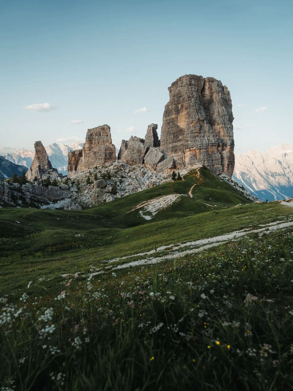
At the top the iconic Cinque Torri welcomes us, and we welcome double chips with tiramisu. Cinque Torri, which means “Five Towers”, is a unique rock formation in the Dolomites near Cortina d’Ampezzo, made up of five distinctive limestone towers. The tallest of them, Torre Grande, reaches 2,361 metres above sea level. The towers were formed when an original block of rock broke apart, and today they are a popular destination for hikers and climbers alike.
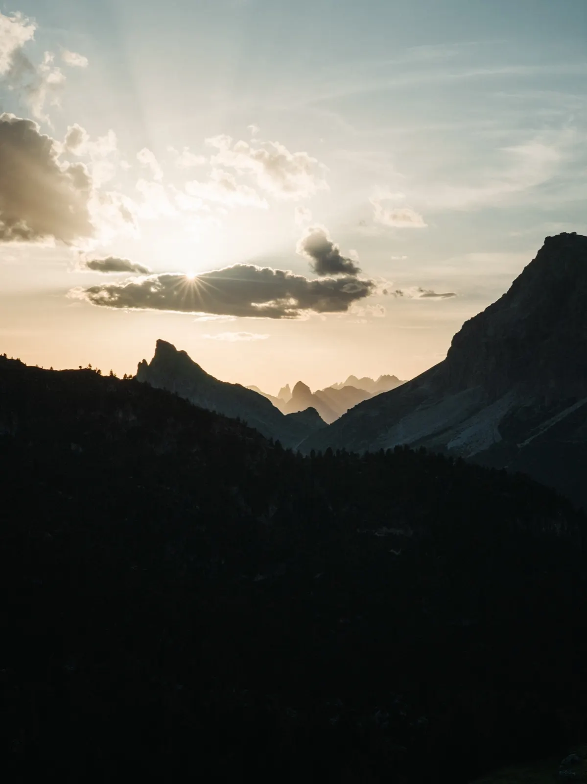
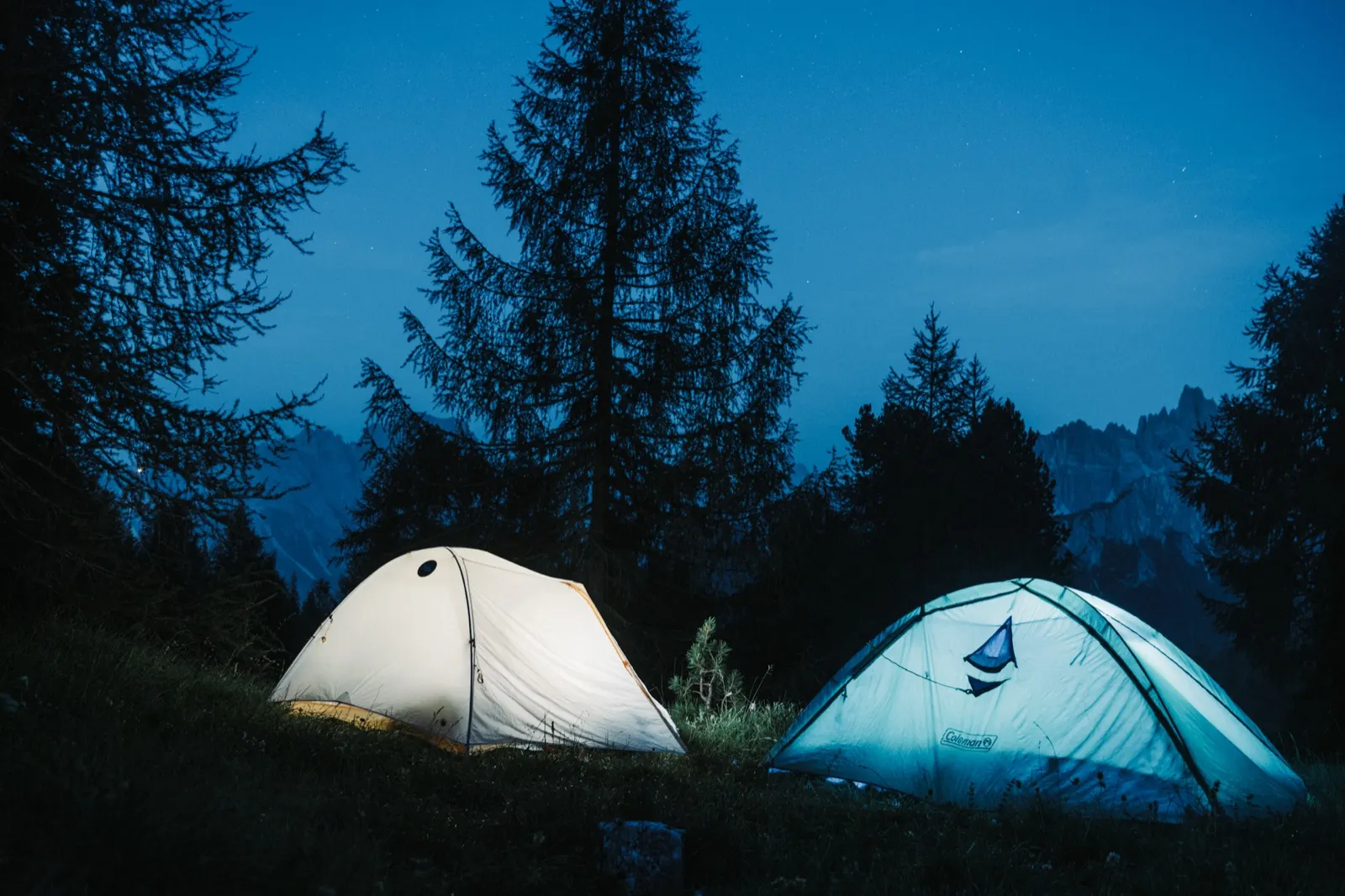
We try to use breaks at huts mainly for recharging electronics, but we also allow ourselves a moment of rest. In the evening we move a bit lower, to the hut beneath this famous massif. This is where the “search party” begins – we have to find a suitable spot for the night. After a short search we pitch our tents in a small wood nearby and fall asleep instantly from exhaustion.
Day three – Those who arrive late get wet
The morning game of backpack Tetris is behind us and we’re on our feet again. I probably don’t need to explain where our first steps lead. Cappuccino, a pastry and a fresh filled roll. If you don’t want to leave the route and then come back, there’s not really anywhere to restock. So we carry everything with us. We have food for every day, but after a while we get tired of eating only tortillas or rice porridge.
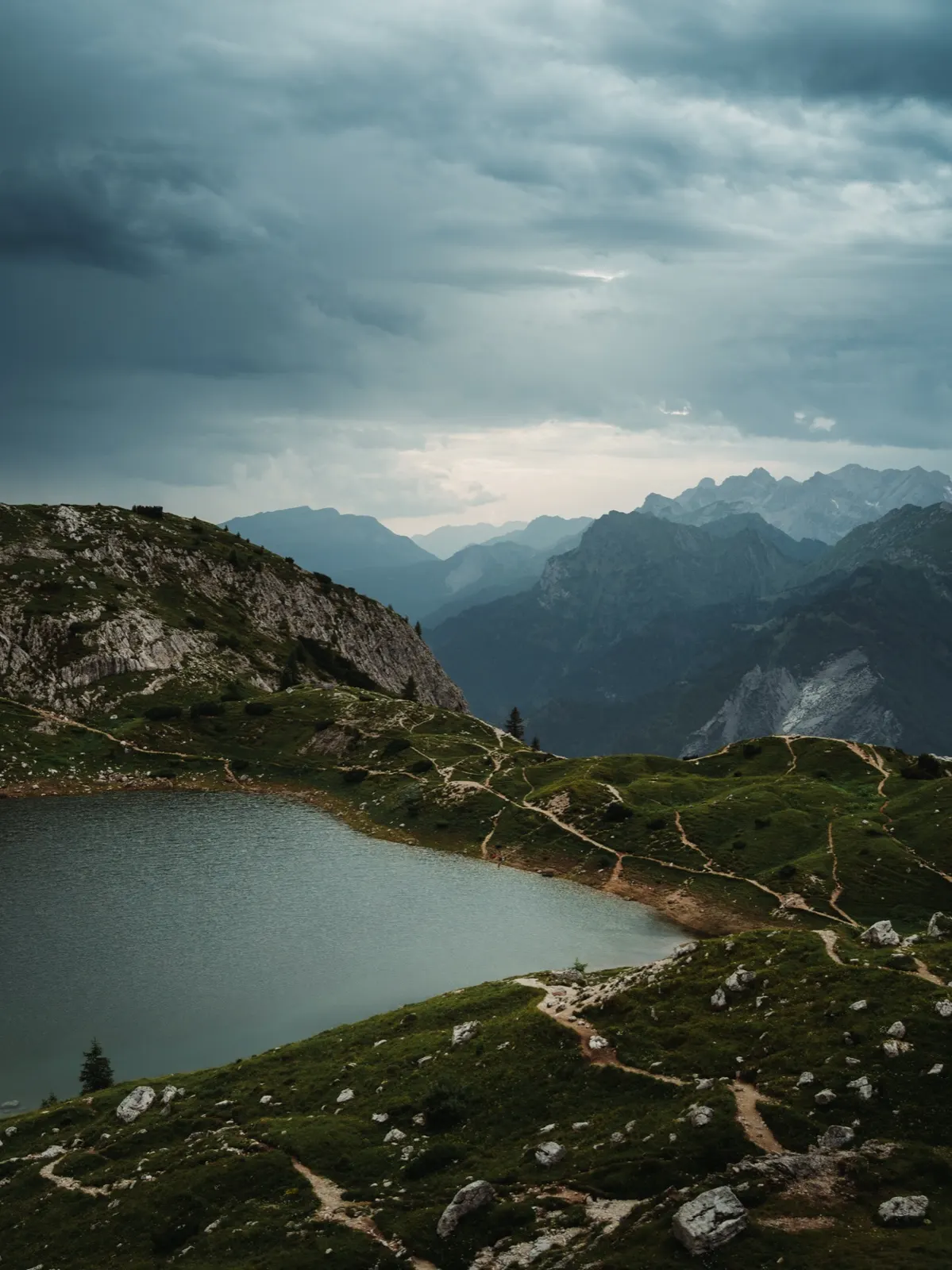
The views didn’t disappoint today either – we could fully enjoy the sun-drenched landscape. At least until we heard the first rumble of a storm in the distance. We were just below the final climb when it sounded. After some recent unpleasant experiences we didn’t want to underestimate it, so we really push ourselves. We arrive just in time. We close the door of the Rifugio Adolfo behind us just as the first drop falls.
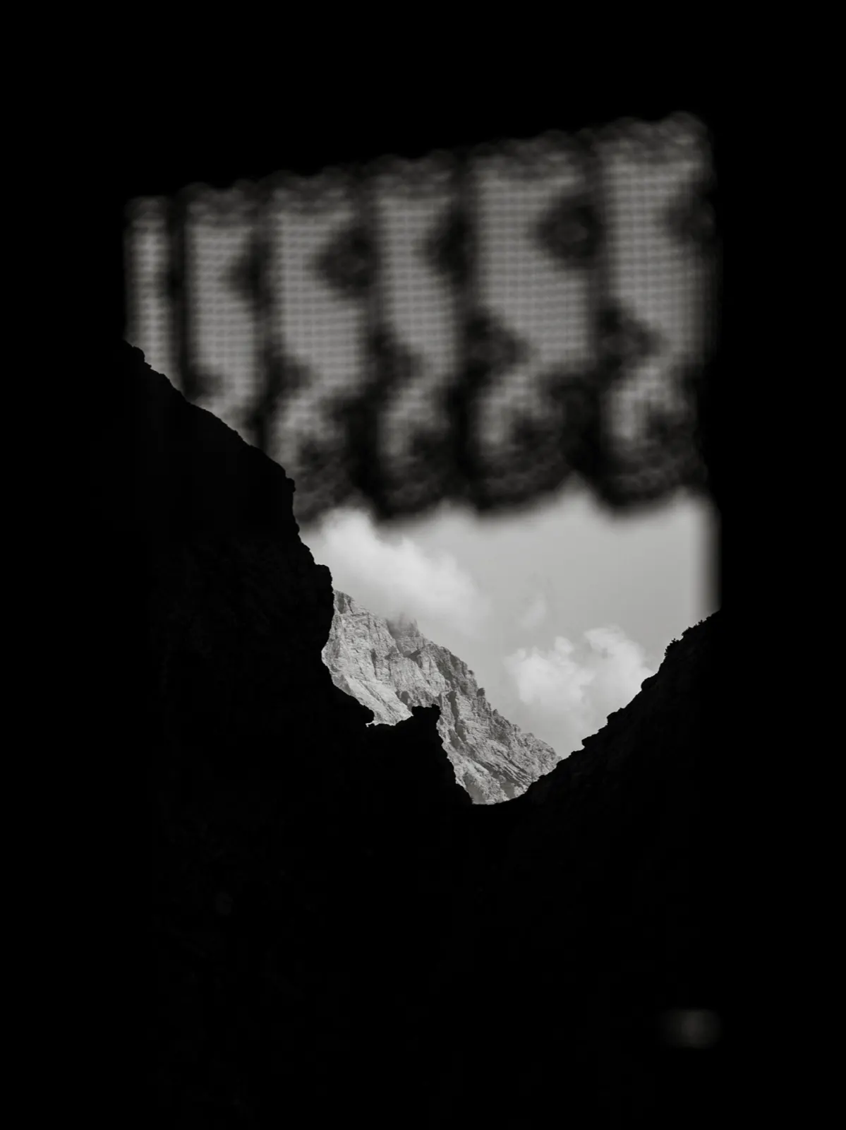
From the warmth of the hut we enjoy the rainy evening through a fogged-up window. The storm doesn’t let up and our plan to sleep by the lakes above the hut slowly dissolves. We’re not the only ones the weather caught out, though. A sizeable Czech-Slovak group has gathered here and together we look for a solution. There is still room at the hut, but the price of €80 a night doesn’t tempt us for a second.
We decide to risk it and set off according to the original plan. But when we climb the hill above the hut and see another wave of lightning in the distance, we turn on our heels. In the end we agree with the owners that we can sleep outside in front of the hut, on the terrace, or in the tent.
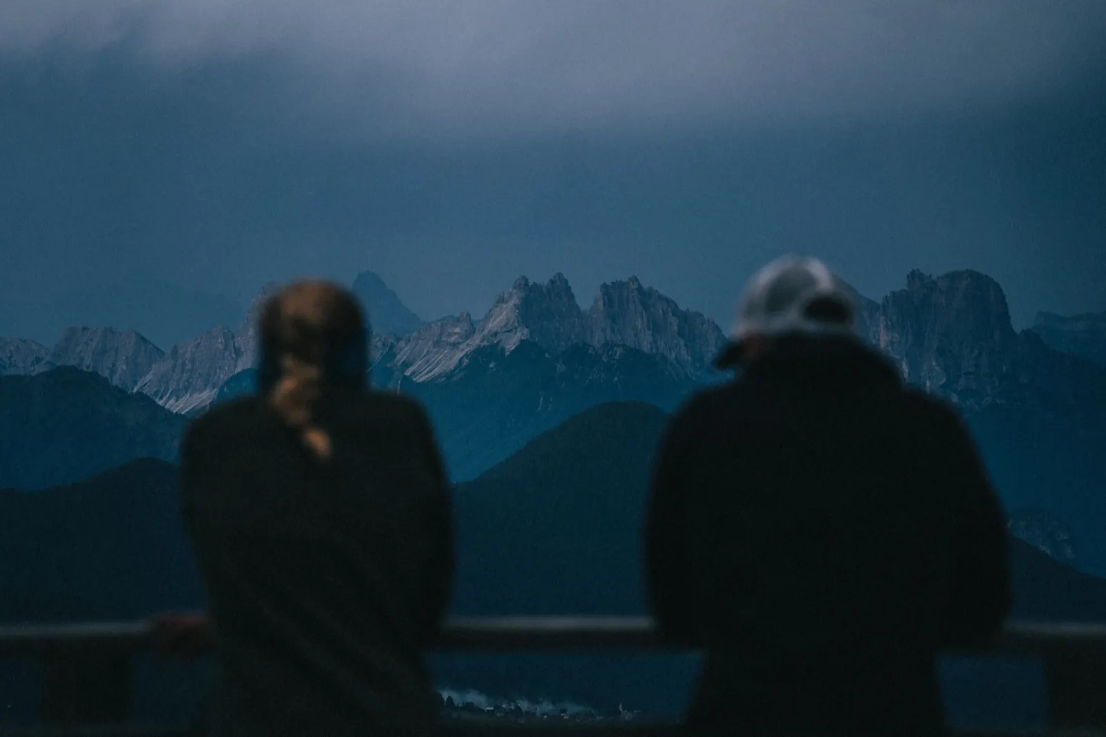
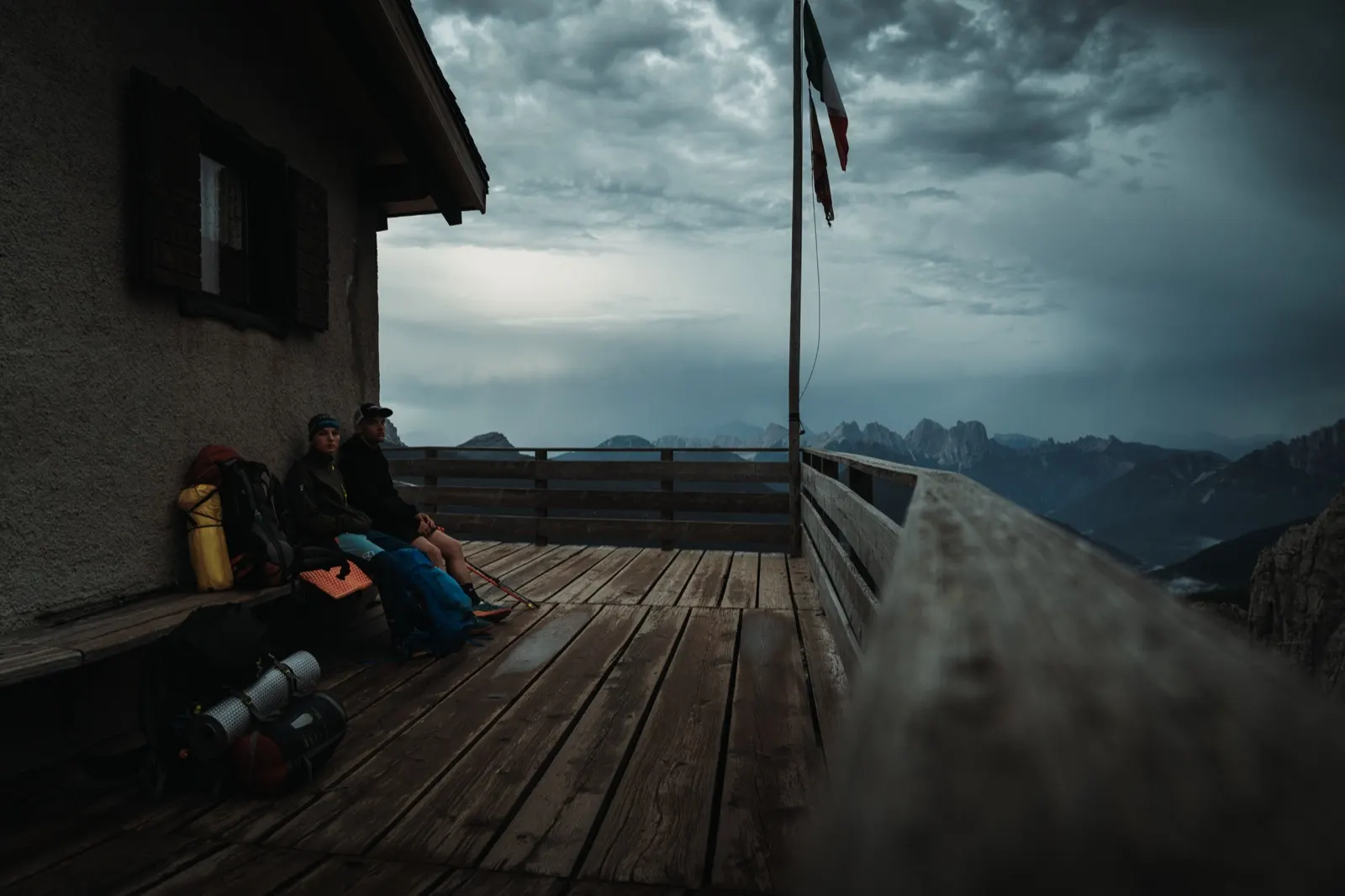
Day four – When the mountains play with colours
We wake before dawn. The terrace is already full of hikers preparing in the half-light for the via ferrata climb towards Monte Civetta. They pull out headlamps and bustle about, and we already know there will be no more sleep. So we throw our packs on our shoulders and set off into the cold morning. Our company today is marmots and the distant cousins of our chamois, who watch our progress with curiosity.
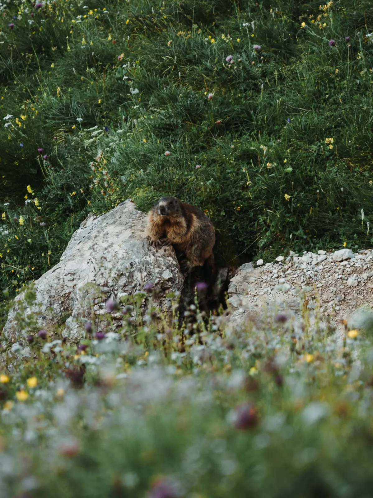
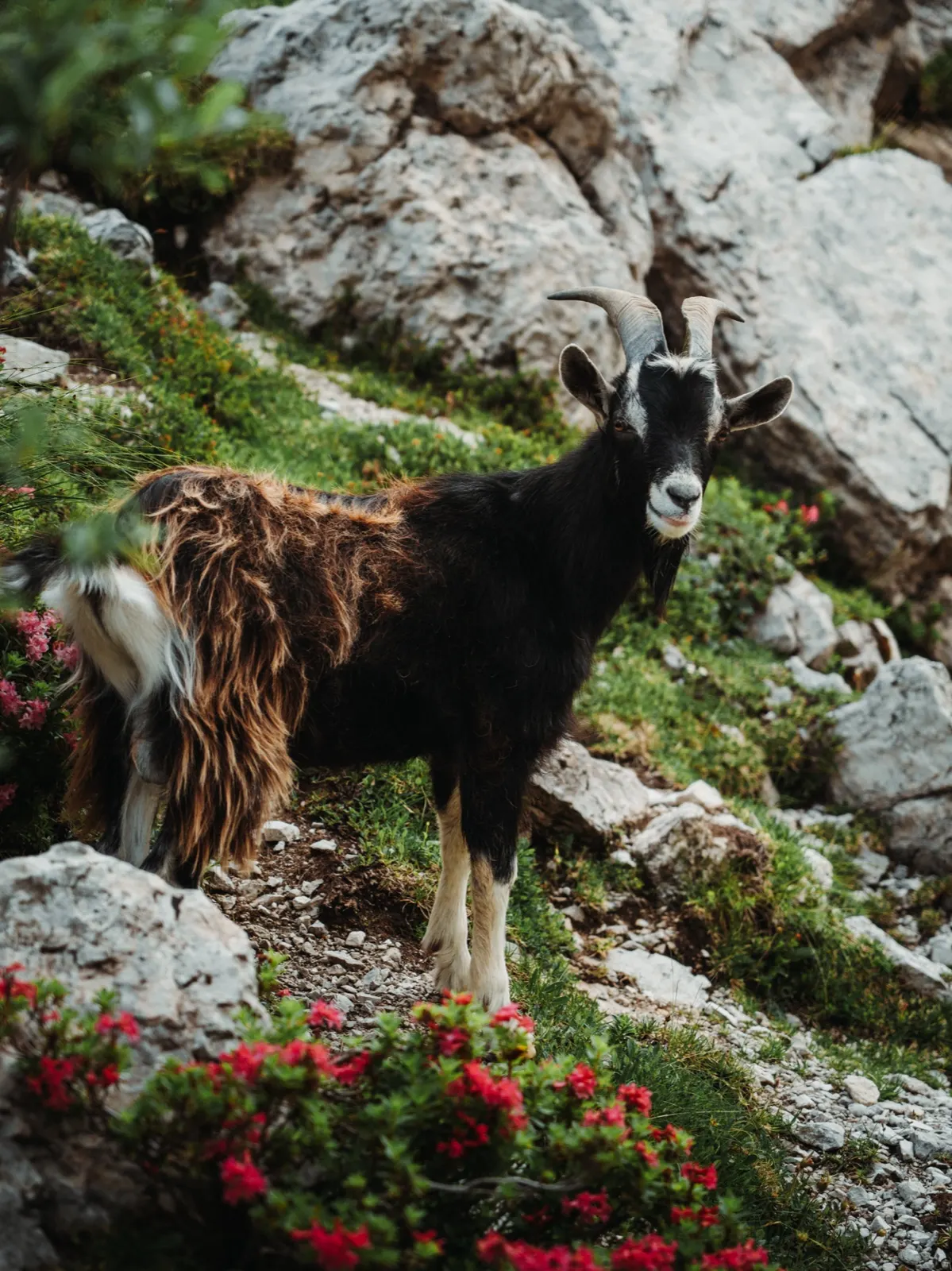
Until our routine morning stop at a hut, the views looked promising. Flowering alpine meadows, lakes and soaring peaks were in no short supply so far. Today, however, the trek took us more into the forest. In places the trail turned into crumbling scree and our pace slowed slightly. As the hours pass the sun starts to blaze and we impatiently look out for the silhouette of Rifugio Carestiato.
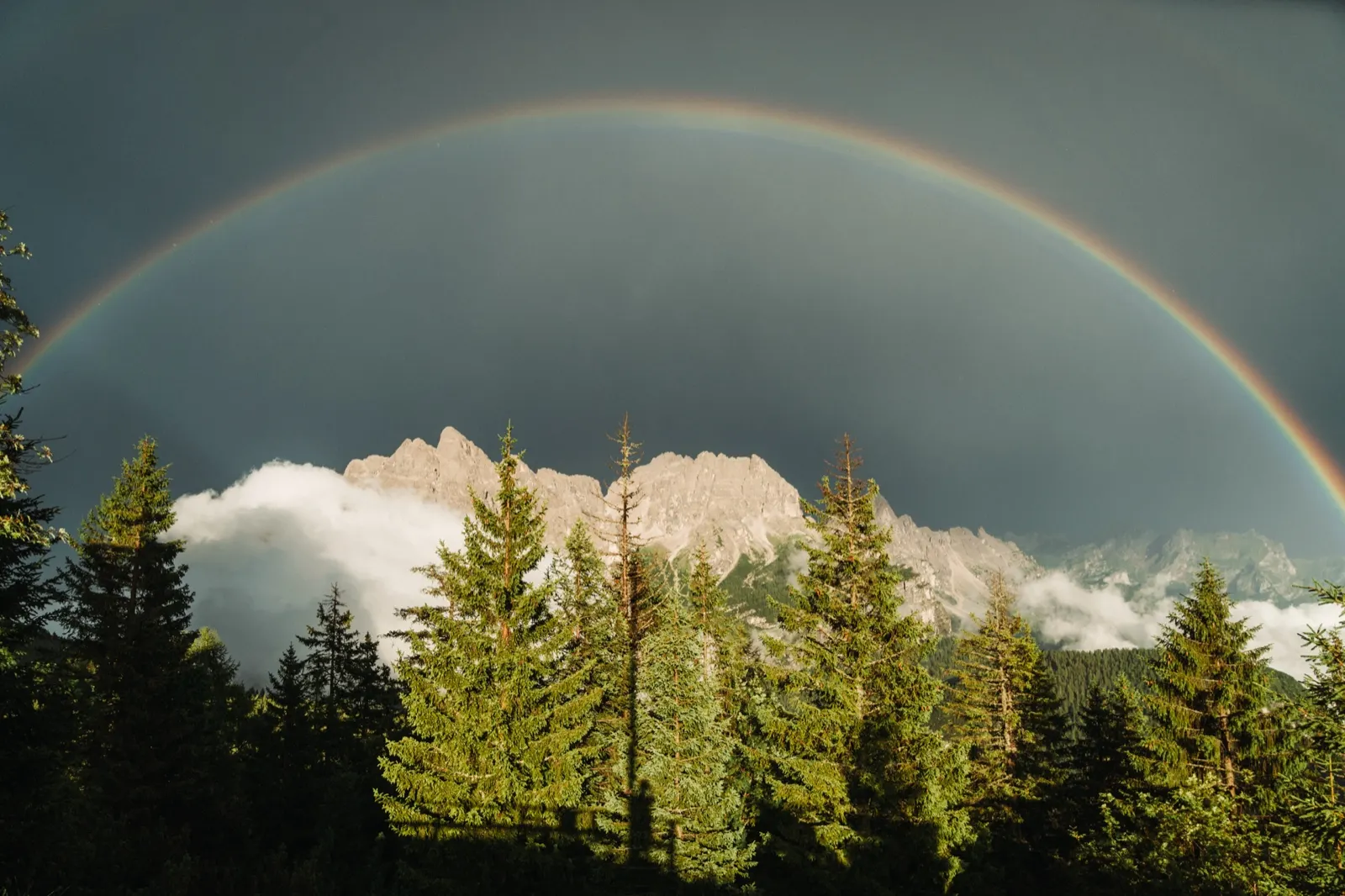
The turn of the summer holidays is often marked by storms, and this time is no different. Luckily we raise the score of us versus the storm to 2:0. What it brought, though, would have been worth a soaking.
We were just sitting in the hut when someone burst in and shouted something loudly in Italian. We follow the crowd of locals and tourists and run outside. And there, above the mountain peaks, stretches a fairytale, breathtaking rainbow. We watch it for almost half an hour before heading to a nearby shelter, where we spend the night.
Day five – Marmolada as a farewell
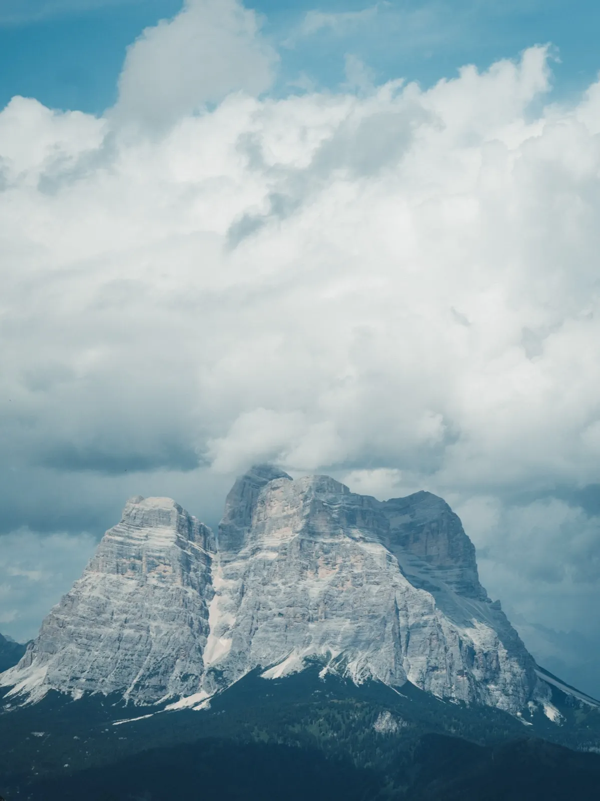
A night in a shelter has one huge advantage – in the morning we don’t have to dry the tent or wrestle with packing it. Thanks to that we can sleep a few minutes longer today. The views can’t compete with the first days anymore, but we’re lucky: Marmolada, the queen of the Dolomites, shows itself in full glory, as if painted on the horizon.
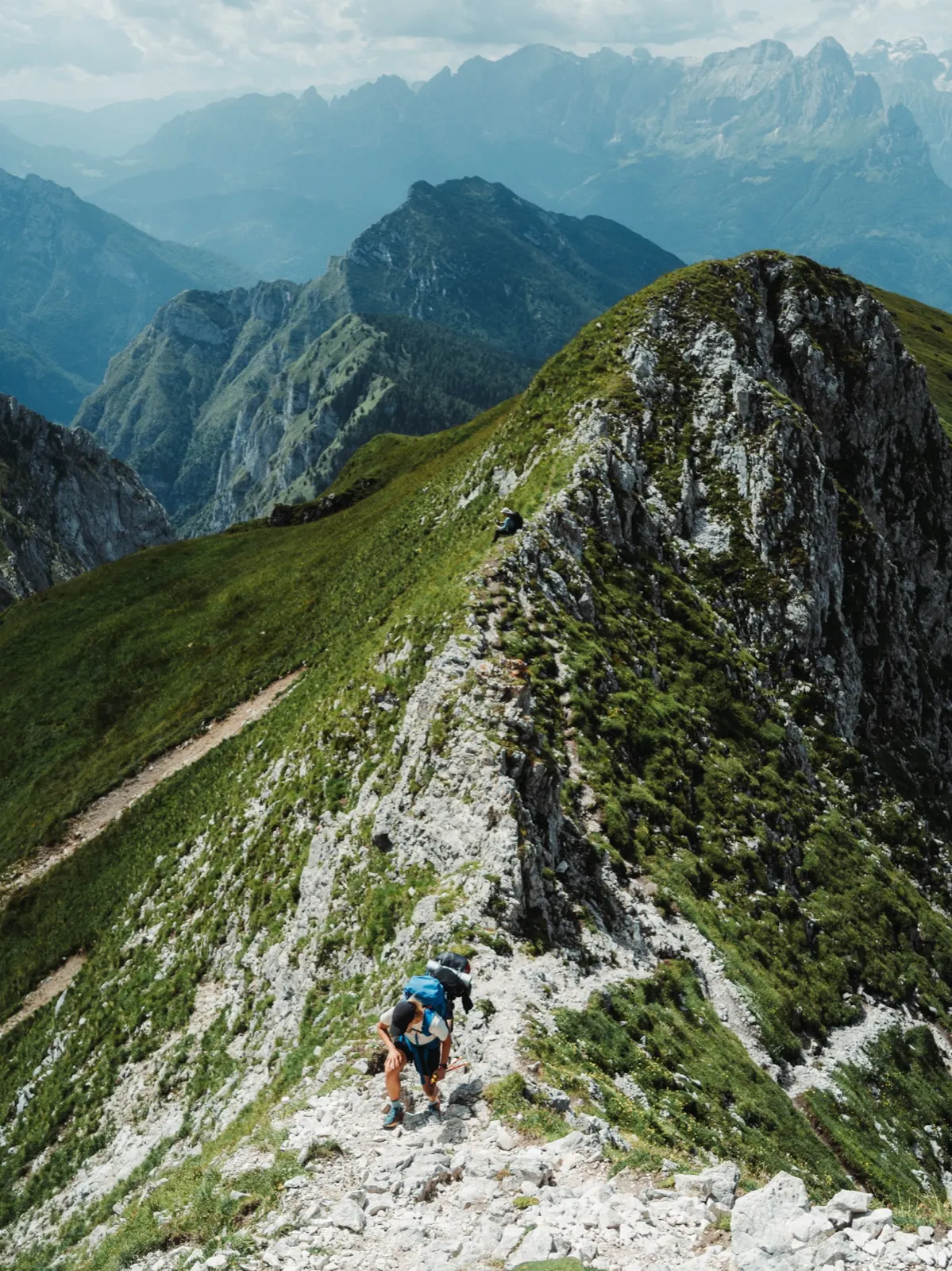
We enjoy lunch at a hut, where a portion of spaghetti carbonara lands on our plate. Maybe it would have tasted even better if the threat of another storm hadn’t hung in the air, but it was worth it anyway. We shorten the climb to the last summit above 2,000 metres with a forgotten repertoire of Czech-Slovak music and good spirits. From there only the descent down to the valley awaits.
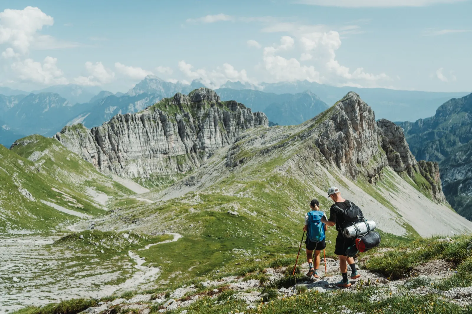
In the evening we spend time in the company of PCT trail angels (trail angels are volunteers who selflessly help long-distance hikers – for example by offering food, a lift, a place to sleep or other support along the trail) at the cosy Pian de Fontana hut. We swap experiences and stories and finish off the last of our supplies. Before night we descend a little further. By an abandoned shelter we find an ideal spot to camp. On a flat patch under the stars we pitch our last camp.
Day six – A lighter pack, a richer soul
The journey is coming to an end. Only the last 13 kilometres to the bus stop lie ahead of us. The landscape has taken on yet another distinctive character. It resembles a panorama from The Lord of the Rings. Steep green slopes, deep valleys and massive rock walls that feel wild and untouched.
If you still haven’t had enough, you can extend the route all the way to Belluno itself, but there you’ll need via ferrata gear too. For now we enjoy one last pastry and, smiling, plan how to spend the four days we have left over.
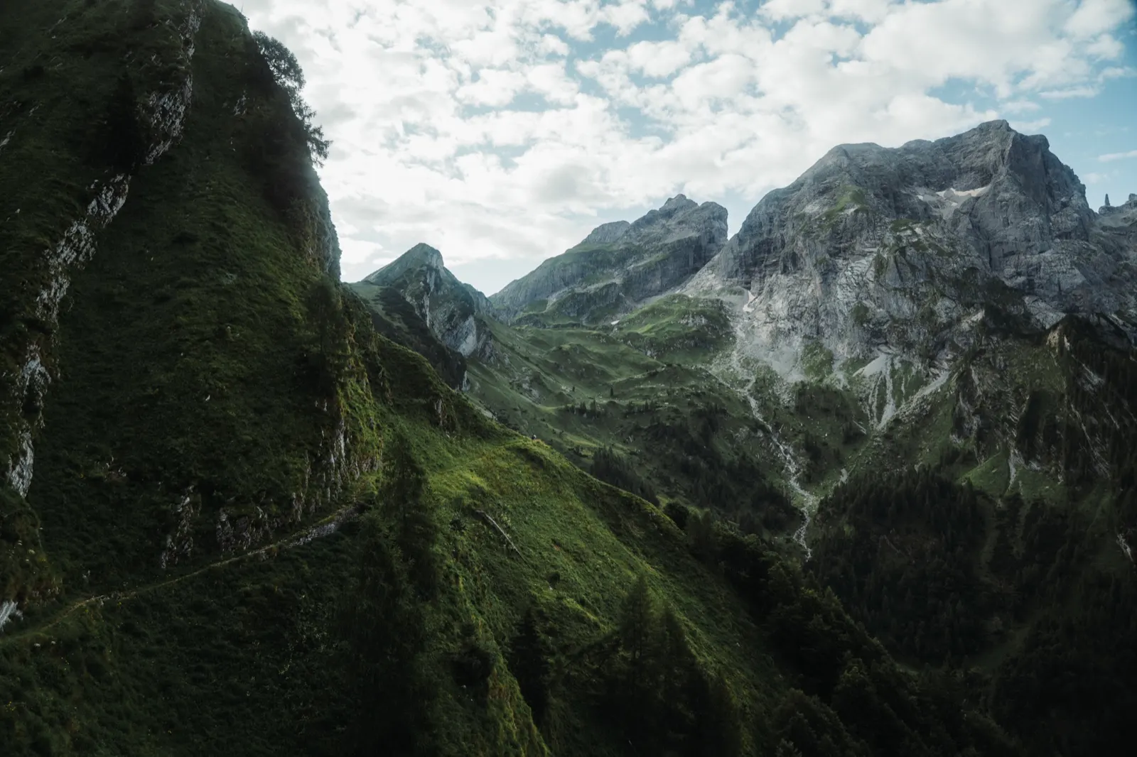
Although this trek is often described as one of the easier ones, it’s up to you how you set it up. We carried most of our food from the start, and in combination with the tent and gear it was definitely no walk in the park.
If, however, you book huts in advance and eat directly at them, your pack will be considerably lighter – and you can enjoy the whole trek with greater ease and comfort.
Whichever option you choose, you won’t regret it. And I dare say you’ll fall in love with the Dolomites with a backpack on your back just as we did.
Logistics tip to finish
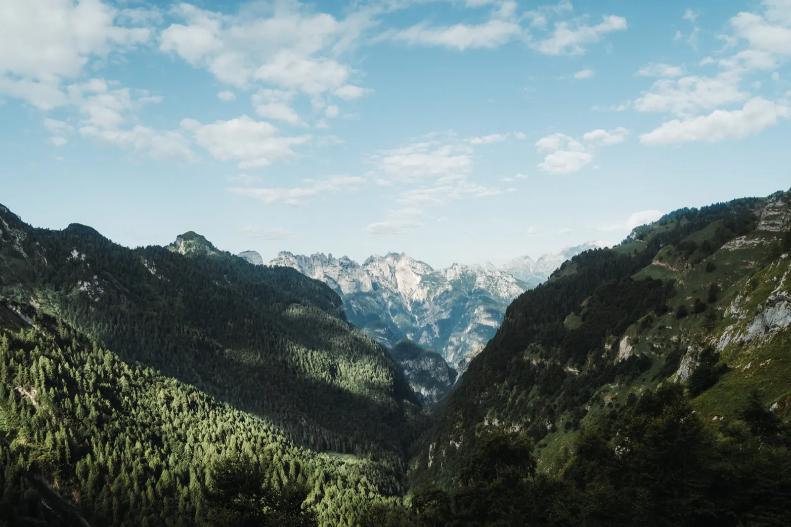
If you finish the trek far from your car, the return can be an adventure. We chose public transport – reliable, if a bit slow.
From the La Pissa stop we took a bus to Belluno, where our paths split. From there I continued alone:
- Train to Pieve di Cadore
- Bus to Cortina d’Ampezzo
- Bus to Toblach
- Train to Villabassa
Summary
- Name: Alta Via 1
- Location: Dolomites, Italy – start Lago di Braies, finish Belluno (or La Pissa, depending on where you end)
- Waymarking: adequate, red-and-white stripes + “AV1” markers
- Restrictions: seasonal (ideally July – September), some huts must be booked in advance
- Difficulty: 3.5/5 – a moderately demanding long-distance hike, rocky terrain, some exposed sections but no technical passages. The difficulty depends heavily on your chosen style – with a light pack and sleeping in huts the route is considerably more comfortable. If you carry a tent, stove and food for several days, both physical and logistical difficulty rise (4/5).
- Duration: 6 days (29 July – 3 August 2024); the route can be shortened or interrupted as needed
- Parameters: 129.3 km / +7,172 metres of elevation gain (from our watch recording)
- Route type: linear, from point A to point B
- Parking: Villabassa railway station
- Map/GPX: Full route on mapy.cz
Alta Via 1 FAQ
How many days does Alta Via 1 take?
We did it in 6 days (29 July – 3 August 2024). According to our watch recording it was 129.3 km and +7,172 metres of elevation gain, between 13 and 26 km per day. It is a linear route from point A to point B and can be shortened or interrupted as needed. You will find the stages in the table above.
How difficult is Alta Via 1, and do I need a via ferrata set?
Difficulty is 3.5/5: a moderately demanding long-distance hike over rocky terrain with some exposed sections but no technical passages. You do not need a via ferrata set unless you extend the route all the way to Belluno. With a light pack and nights in huts the route is considerably more comfortable; if you carry a tent, stove and food for several days, both the physical and the logistical difficulty rise (4/5).
When is the best time for Alta Via 1?
Ideally July to September. Some huts must be booked in advance. Around the turn of the summer holidays storms are common: they changed our plans in the second half of the trek, and one night we slept on the terrace of Rifugio Adolfo because of them.
Where does Alta Via 1 start and end, and how do you get back?
The official start is at Lago di Braies and the finish is at the La Pissa stop or in Belluno. We parked at the railway station in Villabassa (parking is free, but arrive early because it is often filled by tourists heading to the lake). The bus (line 442) may not let you on without a ticket bought in advance, which we found out first-hand, and we walked a few extra kilometres. We returned by bus from La Pissa to Belluno, then by train to Pieve di Cadore, by bus via Cortina to Toblach and by train to Villabassa.
Can you camp on Alta Via 1, and do you need to book huts?
If you don’t want to book huts far in advance, the alternative is a tent, a tarp or a night under the open sky. Officially wild camping is illegal but tolerated. Follow the rules: pitch your tent only after sunset and out of sight, pack up as early as possible in the morning and leave the place clean. Huts can be expensive – during our trek one night cost €80.
Where can you refill water and food?
At the very first hut we found a “no drinking water” sign, so whenever there is a chance, fill up completely. If you don’t want to leave the route there is not much place to restock, so we carried food for every day: tuna with a tortilla and rice porridge. At huts we treated ourselves to coffee, cake and the occasional hot meal, and used them to recharge electronics.
Is the route well marked?
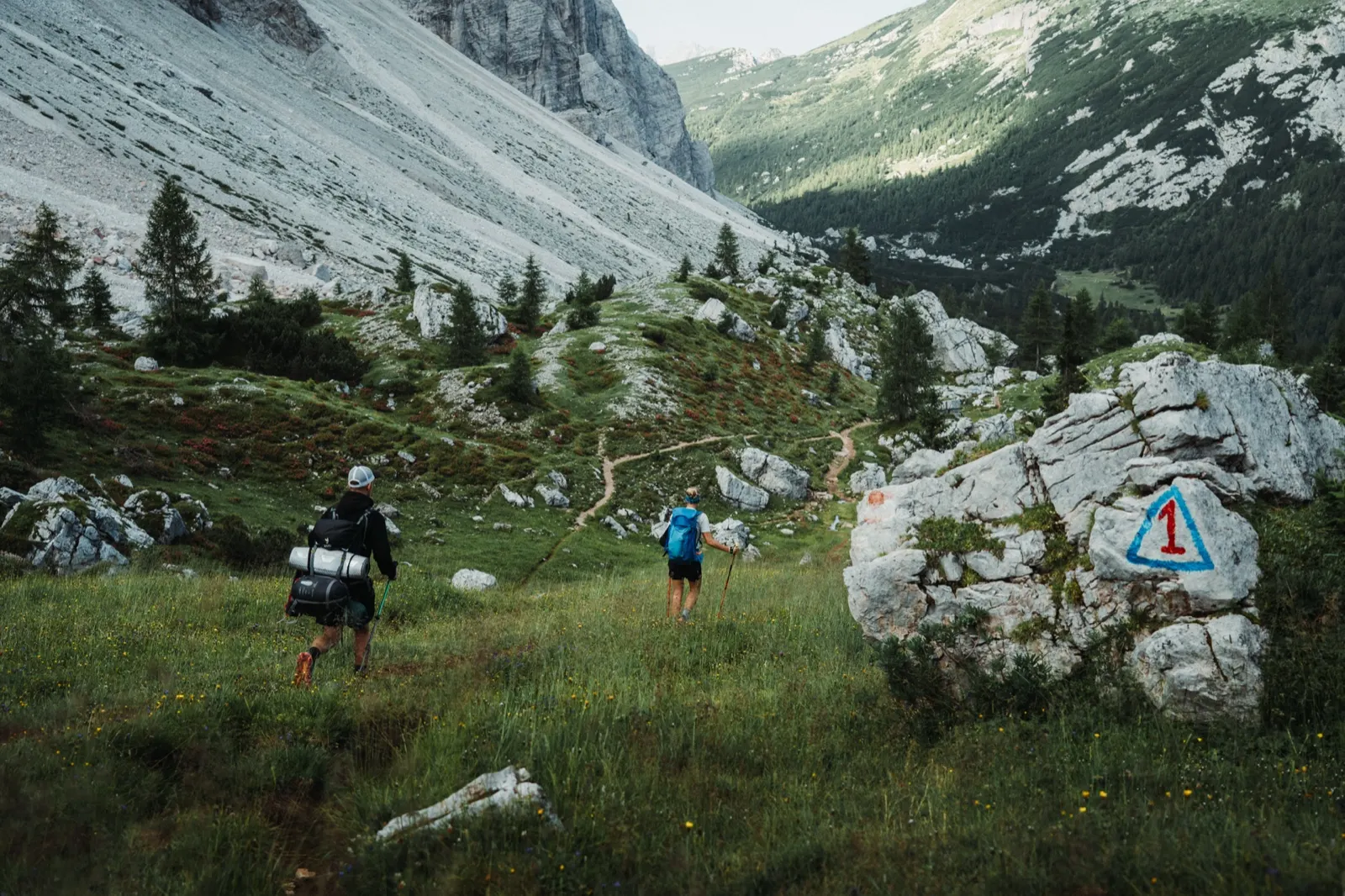
Waymarking is adequate: red-and-white stripes and the “AV1” marker, for example a red number one on a rock.
How heavy a pack should I carry?
Our pack with a tent, stove and food for several days weighed around 10 kg. If you book huts in advance and eat directly at them, your pack will be considerably lighter. The gear from this trip is listed below the article.